Arrondissement of Châteaulin
Located in Finistère, Brittany Region Coordinates: 48°15′25″ N 3°56′17″ W
- Population
- 81,520
- 81.5K
- Elevation
- 163 m
- above sea level
- Local time
- UTC+01:00
- Europe/Paris · UTC+01:00
- Places inside
- 57
- listed under Arrondissement of Châteaulin
- Airports
- BES Brest Bretagne airport41 km
- GCI Guernsey Airport164 km
About Arrondissement of Châteaulin
Arrondissement of Châteaulin is a municipality. Location: Finistère, Brittany Region. Population: 81,520. Elevation: 163 m. The best months to visit are June–September. The nearest airport is Brest Bretagne airport (41 km). Nearby sights include Parc Naturel Régional d'Armorique and Ruisseau de Ster-Goanez.
Photos of Arrondissement of Châteaulin
-
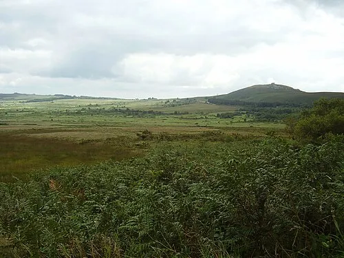
Mont de Saint-Michel Kamel15 · CC BY-SA 3.0 -
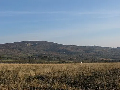
Ménez Hom Yc72 · Public domain


Climate of Arrondissement of Châteaulin
Best months for sightseeingBest months for sightseeing: June–September.
This month · November
A wet month
Day 11° · Night 6° · Rain 131 mm
- Hottest month
- August (day 21°)
- Coldest month
- February (night 3°)
- Wettest month
- January (131 mm)
- Driest month
- July (49 mm)
Bars: average monthly low and high temperature. Below: precipitation. Monthly averages for 1970–2000 at about 18 km resolution, adjusted for elevation. Highlighted months are mild and relatively dry. Source: WorldClim 2.1 (CC BY 4.0).
Show values as a table
| Month | Jan | Feb | Mar | Apr | May | Jun | Jul | Aug | Sep | Oct | Nov | Dec |
|---|---|---|---|---|---|---|---|---|---|---|---|---|
| Average high (°C) | 8° | 9° | 11° | 12° | 16° | 18° | 21° | 21° | 19° | 15° | 11° | 9° |
| Average low (°C) | 3° | 3° | 4° | 5° | 8° | 11° | 13° | 13° | 11° | 9° | 6° | 4° |
| Precipitation (mm) | 131 | 104 | 92 | 71 | 74 | 56 | 49 | 60 | 83 | 102 | 131 | 130 |
Other places to visit in this season: June July August September
How to get to Arrondissement of Châteaulin
The nearest airport is Brest Bretagne airport (BES), 41 km to the northwest as the crow flies. The nearest large city is Brest, 43 km to the west.
Airports
- Brest Bretagne airport (BES) Brest 41 kmnorthwest
- Guernsey Airport (GCI) Saint Peter Port 164 kmnortheast
- Rennes-Saint-Jacques Airport (RNS) Saint-Jacques-de-la-Lande, Ille-et-Vilaine 165 kmeast
Nearby large cities
- Brest Population: 144.9K 43 kmwest
- Rennes Population: 227.8K 169 kmeast
- Nantes Population: 325.1K 213 kmsoutheast
- Plymouth Population: 260.2K 236 kmnorth
- Angers Population: 168.3K 268 kmeast
Straight-line distances; road distances are longer. Airport data: OurAirports.
Day trips from Arrondissement of Châteaulin
Within 100 km: 259 historic and cultural sites, 136 natural sites, 265 lakes, rivers and coasts.
0–25 km56 places
- Île de Tibidy Island 23 kmW
- Ménez Keryéven Mountain 10 kmNE
- Roch Veur Mountain 18 kmSW
- Roc Trévezel Mountain 17 kmN
25–60 km308 places
- Plage du Trez-Hir Beach 58 kmW
- Île aux Rats Island 49 kmS
- Moros River 42 kmS
- Plages de Trévignon Beach 48 kmS
60–100 km296 places
- Île de Groix Island 78 kmSE
- Île Grande Island 66 kmNE
- Kastell Koad Freg Historic site 63 kmNE
- Kastell Tonkedeg Historic site 61 kmNE
Straight-line distances.
Arrondissement of Châteaulin and similar cities
Side by side with cities of similar size in the same country: population, elevation and climate.
| Measure | Arrondissement of Châteaulin | Pau | Créteil | Versailles |
|---|---|---|---|---|
| Population | 81.5K | 82.7K | 84.8K | 85.4K |
| Elevation | 163 m | 219 m | 49 m | 140 m |
| Summer day (hottest month) | 21° | 25° | 25° | 24° |
| Winter night (coldest month) | 3° | 4° | 2° | 1° |
| Annual rainfall | 1,083 mm | 1,304 mm | 632 mm | 646 mm |
| Best months | Jun–Sep | Jun–Sep | May–Sep | Jun–Sep |
| Distance | — | 616 km | 477 km | 452 km |
Climate values are 1970–2000 monthly averages; straight-line distance.
Places in Arrondissement of Châteaulin
57 places- 1 Crozon 7.5K
- 2 Carhaix-Plouguer 7.2K
- 3 Châteaulin 5.2K
- 4 Pont-de-Buis-lès-Quimerch 3.9K
- 5 Pleyben 3.7K
- 6 Châteauneuf-du-Faou 3.7K
- 7 Camaret-sur-Mer 2.6K
- 8 Dinéault 2.2K
- 9 Lanvéoc 2.2K
- 10 Telgruc-sur-Mer 2.1K
- 11 Plonévez-du-Faou 2.1K
- 12 Plomodiern 2.1K
- 13 Coray 1.9K
- 14 Spézet 1.8K
- 15 Plonévez-Porzay 1.8K
- 16 Le Faou 1.7K
- 17 Cast 1.6K
- 18 Poullaouen 1.5K
- 19 Huelgoat 1.5K
- 20 Plounévézel 1.3K
- 21 Cléden-Poher 1.1K
- 22 Gouézec 1.1K
- 23 Saint-Ségal 1.1K
- 24 Brasparts 1K
- 25 Argol 1K
- 26 Trégourez 984
- 27 Rosnoën 951
- 28 Berrien 941
- 29 Landeleau 926
- 30 Kergloff 900
- 31 Lopérec 850
- 32 Roscanvel 840
- 33 Leuhan 808
- 34 Lennon 803
- 35 Scrignac 779
- 36 Saint-Nic 776
- 37 Saint-Hernin 761
- 38 Saint-Thois 715
- 39 Saint-Goazec 710
- 40 Motreff 704
- 41 Plouyé 686
- 42 Laz 665
- 43 La Feuillée 641
- 44 Collorec 613
- 45 Le Cloître-Pleyben 534
- 46 Ploéven 522
- 47 Lothey 463
- 48 Brennilis 451
- 49 Saint-Coulitz 429
- 50 Port-Launay 389
- 51 Loqueffret 359
- 52 Landévennec 332
- 53 Lannédern 295
- 54 Botmeur 212
- 55 Bolazec 205
- 56 Saint-Rivoal 186
- 57 Trégarvan 128
Bar: population relative to the most populous place in this list.
Nearby attractions & nature
Everything nearby-
Parc Naturel Régional d'Armorique Natural site, Finistère4.7 km W
-
Ruisseau de Ster-Goanez River, Finistère8.7 km S
-
Forêt du Cranou Natural site, Finistère13 km NW
-
Doufine River, Finistère13 km W
-
Caranoet Mountain, Sizun14 km NW
-
Ménez Gos Mountain, Edern12 km S
-
Monts d'Arrée Mountain, Finistère20 km N
-
Bois de la Lande Natural site, Finistère21 km NE
Other cities and towns in Finistère
-
Arrondissement of Quimper Municipality, Finistère33 km S
-
Arrondissement of Morlaix Municipality, Finistère33 km N
-
Châteaulin Town, Châteaulin13 km SW
-
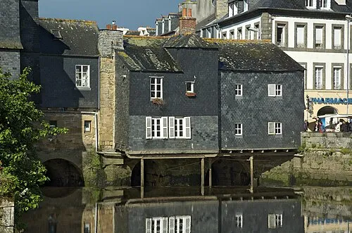 Landerneau Town, Landerneau32 km NW
-
Arrondissement de Brest Municipality, Finistère43 km NW
-
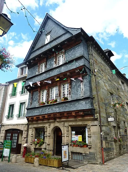 Carhaix-Plouguer Town, Carhaix-Plouguer27 km E
Sources & licences
Data last updated: