Arrondissement of Vannes
Located in Morbihan, Brittany Region Coordinates: 47°41′36″ N 2°27′39″ W
- Population
- 295,698
- 295.7K
- Elevation
- 105 m
- above sea level
- Local time
- UTC+01:00
- Europe/Paris · UTC+01:00
- Places inside
- 99
- listed under Arrondissement of Vannes
- Airports
- RNS Rennes-Saint-Jacques Airport69 km
- NTE Nantes Atlantique Airport88 km
About Arrondissement of Vannes
Arrondissement of Vannes is a municipality. Location: Morbihan, Brittany Region. Population: 295,698. Elevation: 105 m. The best months to visit are June–September. The nearest airport is Rennes-Saint-Jacques Airport (69 km). Nearby sights include Forêt de Molac and Bois de Coëby.
Photos of Arrondissement of Vannes
-
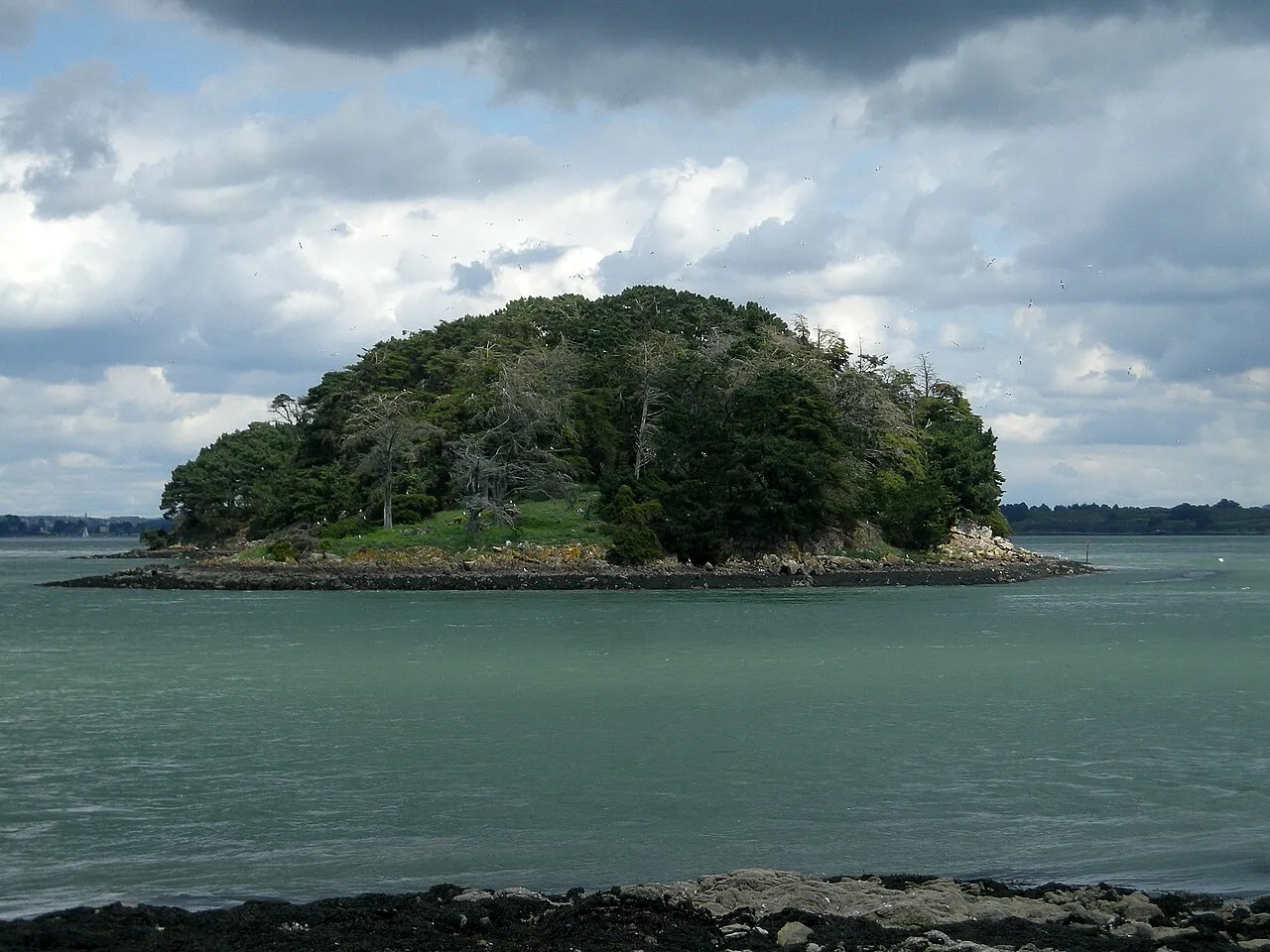
Hent Tenn Rosescreen · CC BY-SA 3.0 -
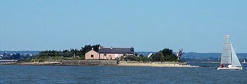
Île des Oeufs Rosescreen · CC BY-SA 3.0 -
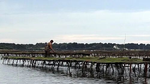
Île Iluric Jean Rebiffé from Addis Ababa, Ethiopia · CC BY 2.0 -
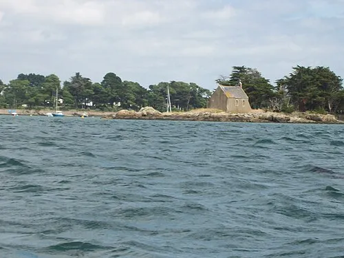
Île de Boëdic Wikimedia Commons · CC BY-SA 2.5 -
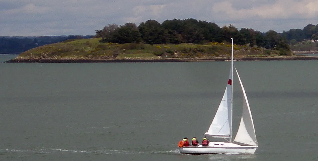
Île Creïzic Rosescreen · CC BY-SA 3.0


Climate of Arrondissement of Vannes
Best months for sightseeingBest months for sightseeing: June–September.
This month · November
A wet month
Day 12° · Night 7° · Rain 101 mm
- Hottest month
- August (day 22°)
- Coldest month
- February (night 4°)
- Wettest month
- November (101 mm)
- Driest month
- July (45 mm)
Bars: average monthly low and high temperature. Below: precipitation. Monthly averages for 1970–2000 at about 18 km resolution, adjusted for elevation. Highlighted months are mild and relatively dry. Source: WorldClim 2.1 (CC BY 4.0).
Show values as a table
| Month | Jan | Feb | Mar | Apr | May | Jun | Jul | Aug | Sep | Oct | Nov | Dec |
|---|---|---|---|---|---|---|---|---|---|---|---|---|
| Average high (°C) | 9° | 9° | 11° | 13° | 16° | 19° | 21° | 22° | 19° | 16° | 12° | 10° |
| Average low (°C) | 4° | 4° | 5° | 7° | 10° | 12° | 14° | 14° | 13° | 10° | 7° | 6° |
| Precipitation (mm) | 93 | 76 | 67 | 61 | 66 | 47 | 45 | 48 | 67 | 86 | 101 | 94 |
Other places to visit in this season: June July August September
How to get to Arrondissement of Vannes
The nearest airport is Rennes-Saint-Jacques Airport (RNS), 69 km to the northeast as the crow flies. For international flights: Nantes Atlantique Airport (NTE) (88 km). The nearest large city is Rennes, 75 km to the northeast.
Airports
- Rennes-Saint-Jacques Airport (RNS) Saint-Jacques-de-la-Lande, Ille-et-Vilaine 69 kmnortheast
- Nantes Atlantique Airport (NTE) Nantes 88 kmsoutheast
- Brest Bretagne airport (BES) Brest 168 kmnorthwest
Nearby large cities
- Rennes Population: 227.8K 75 kmnortheast
- Nantes Population: 325.1K 87 kmsoutheast
- Angers Population: 168.3K 146 kmeast
- Brest Population: 144.9K 170 kmnorthwest
- Le Mans Population: 144.5K 202 kmeast
Straight-line distances; road distances are longer. Airport data: OurAirports.
Day trips from Arrondissement of Vannes
Within 100 km: 228 historic and cultural sites, 139 natural sites, 309 lakes, rivers and coasts.
0–25 km49 places
- plage de Montsarrac Beach 23 kmSW
- plage de la Villeneuve Beach 23 kmSW
- Île Tascon Island 24 kmSW
- Île Quistinic Island 23 kmSW
25–60 km284 places
- Plage de Carnac Beach 48 kmW
- Plage Beg Lann Beach 30 kmSW
- Plage de Sables Blancs Beach 52 kmW
- Plage de la Courance Beach 52 kmS
60–100 km343 places
- Noirmoutier Island 79 kmS
- Belle Île Island 68 kmSW
- Île de Groix Island 75 kmW
- Plage de Kerguélen Beach 71 kmW
Straight-line distances.
Arrondissement of Vannes and similar cities
Side by side with cities of similar size in the same country: population, elevation and climate.
| Measure | Arrondissement of Vannes | Strasbourg | Marne La Vallée | Nantes |
|---|---|---|---|---|
| Population | 295.7K | 274.8K | 318.3K | 325.1K |
| Elevation | 105 m | 147 m | 96 m | 19 m |
| Summer day (hottest month) | 22° | 25° | 24° | 25° |
| Winter night (coldest month) | 4° | -1° | 1° | 3° |
| Annual rainfall | 851 mm | 735 mm | 635 mm | 794 mm |
| Best months | Jun–Sep | May–Sep | Jun–Sep | Jun–Sep |
| Distance | — | 765 km | 400 km | 87 km |
Climate values are 1970–2000 monthly averages; straight-line distance.
Places in Arrondissement of Vannes
99 places- 1 Vannes 53.2K
- 2 Saint-Avé 11.3K
- 3 Séné 8.9K
- 4 Sarzeau 7.8K
- 5 Theix-Noyalo 7.8K
- 6 Questembert 7.5K
- 7 Ploeren 6.6K
- 8 Guer 6.3K
- 9 Elven 5.9K
- 10 Plescop 5.7K
- 11 Arradon 5.4K
- 12 Grand-Champ 5.4K
- 13 Muzillac 5K
- 14 Nivillac 4.6K
- 15 Baden 4.4K
- 16 Surzur 4.3K
- 17 La Gacilly 4K
- 18 Allaire 3.8K
- 19 Saint-Nolff 3.7K
- 20 Sulniac 3.6K
- 21 Monterblanc 3.3K
- 22 Carentoir 3.2K
- 23 Férel 3.2K
- 24 Sérent 3K
- 25 Rieux 2.8K
- 26 Péaule 2.7K
- 27 Noyal-Muzillac 2.5K
- 28 Saint-Dolay 2.5K
- 29 Plougoumelen 2.5K
- 30 Malestroit 2.5K
- 31 Le Bono 2.3K
- 32 Marzan 2.3K
- 33 Treffléan 2.3K
- 34 Meucon 2.2K
- 35 Colpo 2.2K
- 36 Malansac 2.2K
- 37 Arzon 2.1K
- 38 Plaudren 1.9K
- 39 Pénestin 1.9K
- 40 Peillac 1.9K
- 41 Berric 1.8K
- 42 Beignon 1.8K
- 43 Ambon 1.8K
- 44 Pleucadeuc 1.8K
- 45 Saint-Jacut-les-Pins 1.7K
- 46 Locmaria-Grand-Champ 1.7K
- 47 Damgan 1.7K
- 48 Locqueltas 1.7K
- 49 Caden 1.6K
- 50 Saint-Gildas-de-Rhuys 1.6K
- 51 Arzal 1.6K
- 52 La Trinité-Surzur 1.6K
- 53 Augan 1.6K
- 54 Molac 1.5K
- 55 Pluherlin 1.5K
- 56 Saint-Jean-la-Poterie 1.5K
- 57 Saint-Vincent-sur-Oust 1.5K
- 58 La Vraie-Croix 1.5K
- 59 Ruffiac 1.4K
- 60 Béganne 1.4K
Bar: population relative to the most populous place in this list.
Nearby attractions & nature
Everything nearby-
Forêt de Molac Natural site, Morbihan7.2 km N
-
Bois de Coëby Natural site, Morbihan10 km NW
-
Bois de Hanvaux Natural site, Morbihan13 km NW
-
Bois de Kerfily Natural site, Morbihan14 km NW
-
Ruisseau de Kervily River, Morbihan13 km S
-
Claie River, Morbihan13 km NE
-
Étang de Pémur Lake, Morbihan14 km S
-
Bois de Saint-Bily Natural site, Morbihan16 km NW
Sources & licences
Data last updated: