- Elevation
- 188 m
- above sea level
- Local time
- UTC+01:00
- Europe/Paris · UTC+01:00
- Airports
- SXB Strasbourg Airport48 km
- BSL EuroAirport Basel–Mulhouse–Freiburg59 km
About Forêt Domaniale de l'Orch
Forêt Domaniale de l'Orch is a natural site. Location: Haut-Rhin, Grand Est. The best months to visit are May–September. The nearest airport is Strasbourg Airport (48 km). Nearby sights include Forêt Communale de Colmar and Parc de Schoppenwihr.
Climate of Forêt Domaniale de l'Orch
Best months for sightseeingBest months for sightseeing: May–September.
This month · November
A cold month
Day 9° · Night 2° · Rain 54 mm
- Hottest month
- July (day 25°)
- Coldest month
- January (night -1°)
- Wettest month
- May (70 mm)
- Driest month
- March (40 mm)
Bars: average monthly low and high temperature. Below: precipitation. Monthly averages for 1970–2000 at about 18 km resolution, adjusted for elevation. Highlighted months are mild and relatively dry. Source: WorldClim 2.1 (CC BY 4.0).
Show values as a table
| Month | Jan | Feb | Mar | Apr | May | Jun | Jul | Aug | Sep | Oct | Nov | Dec |
|---|---|---|---|---|---|---|---|---|---|---|---|---|
| Average high (°C) | 5° | 7° | 11° | 15° | 20° | 23° | 25° | 25° | 21° | 15° | 9° | 6° |
| Average low (°C) | -1° | -1° | 2° | 5° | 9° | 12° | 14° | 13° | 10° | 6° | 2° | 0° |
| Precipitation (mm) | 44 | 45 | 40 | 44 | 70 | 67 | 66 | 58 | 54 | 54 | 54 | 58 |
Other places to visit in this season: May June July August September
How to get to Forêt Domaniale de l'Orch
The nearest airport is Strasbourg Airport (SXB), 48 km to the north as the crow flies. The nearest large city is Freiburg im Breisgau, 35 km to the southeast.
Airports
- Strasbourg Airport (SXB) Strasbourg 48 kmnorth
- EuroAirport Basel–Mulhouse–Freiburg (BSL) Bâle / Mulhouse 59 kmsouth
- Karlsruhe Baden-Baden Airport (FKB) Rheinmünster 87 kmnortheast
Nearby large cities
- Freiburg im Breisgau Population: 237.5K 35 kmsoutheast
- Mulhouse Population: 111.4K 43 kmsouth
- Strasbourg Population: 274.8K 56 kmnortheast
- Basel Population: 177.6K 64 kmsouth
- Nancy Population: 105.1K 111 kmnorthwest
Straight-line distances; road distances are longer. Airport data: OurAirports.
Day trips from Forêt Domaniale de l'Orch
Within 100 km: 449 historic and cultural sites, 1,753 natural sites, 454 lakes, rivers and coasts.
0–25 km141 places
- Limberg Mountain 13 kmE
- Kaiserstuhl Mountain 18 kmE
- Eichelspitze Mountain 20 kmE
- Seltenbach River 25 kmSE
25–60 km1,047 places
- Unditz River 47 kmNE
- Titisee Lake 59 kmSE
- Feld See Lake 53 kmSE
- Matschelsee Lake 42 kmNE
60–100 km1,468 places
- Büselweier Lake 95 kmSE
- Etangs Rougeat Lake 77 kmS
- Basler Weiher Lake 80 kmS
- Pisciculture Lake 77 kmS
Straight-line distances.
Nearest towns and villages
-
Porte du Ried Village, Arrondissement de Colmar-Ribeauvillé1.9 km S
-
Riedwihr Village, Porte du Ried1.1 km E
-
Holtzwihr Village, Porte du Ried1.8 km S
-
Wickerschwihr Village, Arrondissement de Colmar-Ribeauvillé2.4 km S
-
Wickerschwihr Village, Wickerschwihr2.3 km S
-
Jebsheim Village, Arrondissement de Colmar-Ribeauvillé3.5 km E
Nearby attractions & nature
Everything nearby-
Forêt Communale de Colmar Natural site, Haut-Rhin4.5 km NW
-
Parc de Schoppenwihr Natural site, Grand Est5.2 km W
-
Lauch River, Haut-Rhin5.2 km SW
-
Thur River, Haut-Rhin6 km SW
-
Fecht River, Haut-Rhin6.1 km N
-
Strengbach River, Haut-Rhin6.3 km NW
-
Galtz Mountain, Niedermorschwihr14 km W
-
Bennwasser River, Haut-Rhin6.4 km N
More nature in France
-
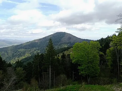 Stauffen Mountain, Vœgtlinshoffen18 km SW
-
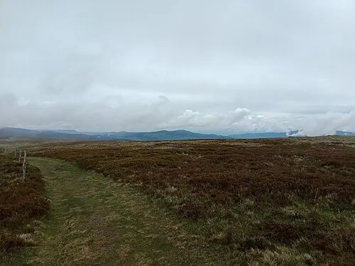 Le Grand Hohnack Mountain, Labaroche18 km W
-
Koenigsstuhl Mountain, Riquewihr15 km NW
-
Vorhofkopf de Kaysersberg Mountain, Kaysersberg Vignoble16 km W
-
Ohirn Mountain, Rodern16 km NW
-
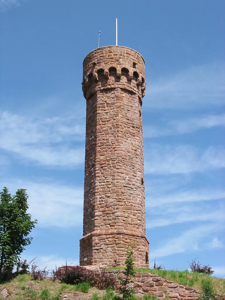 Le Grand Faudé Mountain, Lapoutroie20 km W
Sources & licences
Data last updated: