- Population
- 187,306
- 187.3K
- Elevation
- 417 m
- above sea level
- Local time
- UTC+01:00
- Europe/Paris · UTC+01:00
- Places inside
- 140
- listed under Arrondissement of Épinal
- Airports
- ETZ Metz-Nancy-Lorraine Airport93 km
- SXB Strasbourg Airport94 km
About Arrondissement of Épinal
Arrondissement of Épinal is a municipality. Location: Vosges, Grand Est. Population: 187,306. Elevation: 417 m. The best months to visit are June–August. The nearest airport is Metz-Nancy-Lorraine Airport (93 km). Nearby sights include Forêt d'Épinal and Forêt de Tanières.
Photos of Arrondissement of Épinal
-
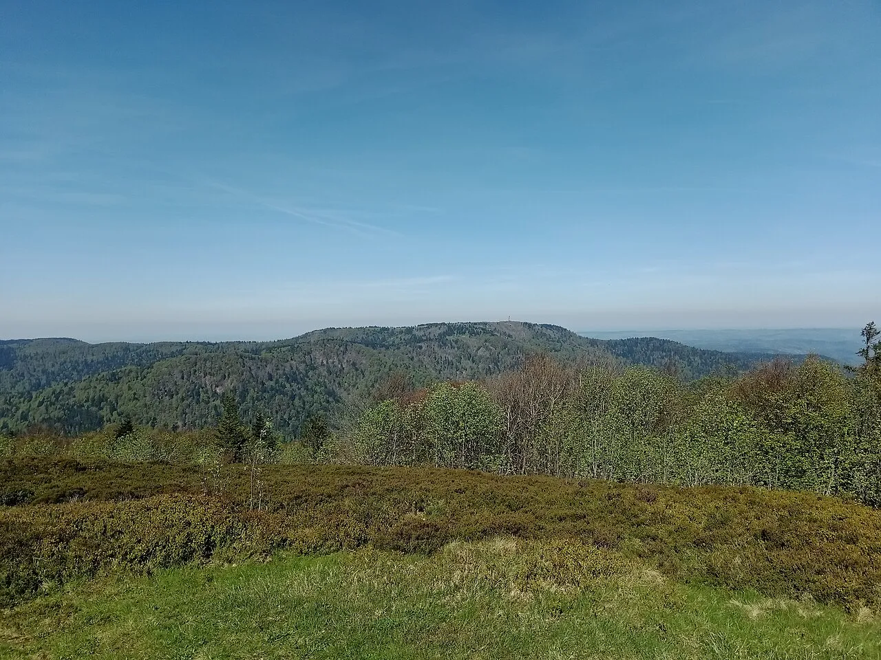
Ballon de Servance Rémih · CC BY-SA 4.0 -
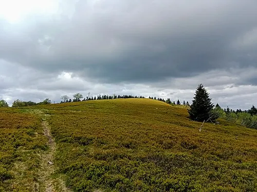
Le Grand Ventron Rémih · CC BY-SA 4.0 -
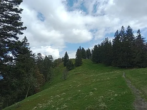
Haut de Felsach Rémih · CC BY-SA 4.0 -
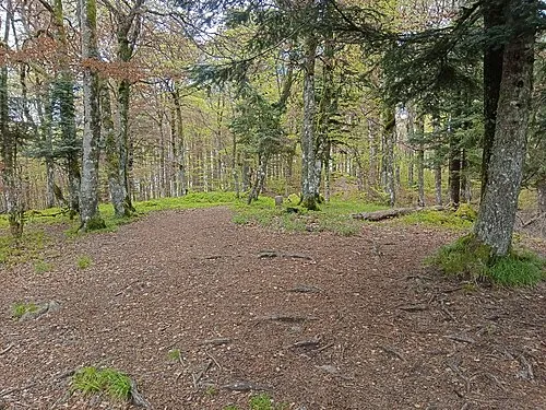
Tête du Chat Sauvage Rémih · CC BY-SA 4.0 -
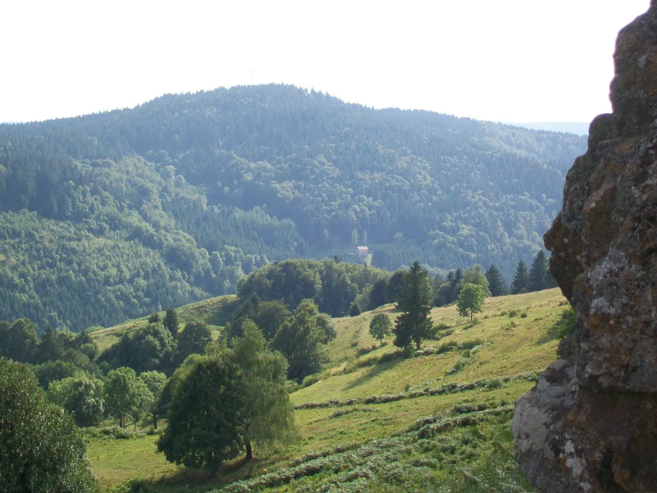
Haut du Roc Scynos · CC BY-SA 3.0


Climate of Arrondissement of Épinal
Best months for sightseeingBest months for sightseeing: June–August.
This month · November
A cold month
Day 8° · Night 1° · Rain 98 mm
- Hottest month
- July (day 23°)
- Coldest month
- January (night -2°)
- Wettest month
- December (105 mm)
- Driest month
- April (66 mm)
Bars: average monthly low and high temperature. Below: precipitation. Monthly averages for 1970–2000 at about 18 km resolution, adjusted for elevation. Highlighted months are mild and relatively dry. Source: WorldClim 2.1 (CC BY 4.0).
Show values as a table
| Month | Jan | Feb | Mar | Apr | May | Jun | Jul | Aug | Sep | Oct | Nov | Dec |
|---|---|---|---|---|---|---|---|---|---|---|---|---|
| Average high (°C) | 3° | 5° | 9° | 13° | 18° | 21° | 23° | 23° | 19° | 14° | 8° | 5° |
| Average low (°C) | -2° | -2° | 1° | 3° | 7° | 10° | 12° | 12° | 9° | 5° | 1° | -1° |
| Precipitation (mm) | 89 | 83 | 74 | 66 | 90 | 91 | 81 | 72 | 80 | 88 | 98 | 105 |
How to get to Arrondissement of Épinal
The nearest airport is Metz-Nancy-Lorraine Airport (ETZ), 93 km to the north as the crow flies. For international flights: Strasbourg Airport (SXB) (94 km). The nearest large city is Nancy, 63 km to the north.
Airports
- Metz-Nancy-Lorraine Airport (ETZ) Goin 93 kmnorth
- Strasbourg Airport (SXB) Strasbourg 94 kmnortheast
- EuroAirport Basel–Mulhouse–Freiburg (BSL) Bâle / Mulhouse 99 kmsoutheast
Nearby large cities
- Nancy Population: 105.1K 63 kmnorth
- Mulhouse Population: 111.4K 77 kmsoutheast
- Freiburg im Breisgau Population: 237.5K 103 kmeast
- Strasbourg Population: 274.8K 104 kmnortheast
- Basel Population: 177.6K 105 kmsoutheast
Straight-line distances; road distances are longer. Airport data: OurAirports.
Day trips from Arrondissement of Épinal
Within 100 km: 248 historic and cultural sites, 701 natural sites, 203 lakes, rivers and coasts.
0–25 km35 places
- Côte de Virine Mountain 17 kmNW
- Saint-Mont Mountain 19 kmSE
- Forêt d'Uriménil Natural site 12 kmSW
- Forêt de Tanières Natural site 6 kmSE
25–60 km475 places
- lac des Truites - du Forlet Lake 44 kmE
- Lac Noir Lake 45 kmE
- Lac de Longemer Lake 35 kmE
- Lac de Gérardmer Lake 28 kmE
60–100 km642 places
- Etangs Rougeat Lake 92 kmSE
- Pisciculture Lake 89 kmSE
- Etang du Milieu Lake 91 kmSE
- Etangs Rougeat Lake 92 kmSE
Straight-line distances.
Arrondissement of Épinal and similar cities
Side by side with cities of similar size in the same country: population, elevation and climate.
| Measure | Arrondissement of Épinal | Le Havre | Paris 20 Ménilmontant | Cergy-Pontoise |
|---|---|---|---|---|
| Population | 187.3K | 186K | 185.1K | 183.4K |
| Elevation | 417 m | 5 m | 96 m | 54 m |
| Summer day (hottest month) | 23° | 21° | 25° | 24° |
| Winter night (coldest month) | -2° | 4° | 2° | 1° |
| Annual rainfall | 1,017 mm | 731 mm | 641 mm | 641 mm |
| Best months | Jun–Aug | Jun–Sep | May–Sep | Jun–Sep |
| Distance | — | 492 km | 313 km | 340 km |
Climate values are 1970–2000 monthly averages; straight-line distance.
Places in Arrondissement of Épinal
140 places- 61 La Chapelle-aux-Bois 666
- 62 Cleurie 656
- 63 La Baffe 648
- 64 Sapois 643
- 65 Thiéfosse 606
- 66 Dinozé 597
- 67 Charmois-l'Orgueilleux 588
- 68 Brû 568
- 69 Le Clerjus 562
- 70 Fontenoy-le-Château 539
- 71 La Forge 531
- 72 Tendon 519
- 73 Padoux 514
- 74 Frizon 510
- 75 Housseras 494
- 76 Sainte-Hélène 476
- 77 Chamagne 465
- 78 Jarménil 465
- 79 Vaxoncourt 464
- 80 Longchamp 463
- 81 Florémont 442
- 82 Moriville 431
- 83 Saint-Benoît-la-Chipotte 420
- 84 Hadigny-les-Verrières 404
- 85 Saint-Gorgon 398
- 86 Domèvre-sur-Avière 396
- 87 Romont 389
- 88 Gerbamont 367
- 89 Roville-aux-Chênes 364
- 90 Domptail 359
- 91 Rehaincourt 355
- 92 Les Voivres 315
- 93 Bult 309
- 94 Ménil-sur-Belvitte 301
- 95 Autrey 291
- 96 Vomécourt 286
- 97 Sainte-Barbe 281
- 98 Domèvre-sur-Durbion 275
- 99 Socourt 271
- 100 Mazeley 269
- 101 Damas-aux-Bois 268
- 102 Dompierre 263
- 103 Bayecourt 257
- 104 Gruey-lès-Surance 257
- 105 Trémonzey 248
- 106 Girmont-Val-d'Ajol 246
- 107 Sercœur 237
- 108 Moyemont 221
- 109 Clézentaine 215
- 110 Brantigny 210
- 111 Savigny 188
- 112 Dignonville 186
- 113 Saint-Maurice-sur-Mortagne 181
- 114 Ubexy 180
- 115 Pallegney 176
- 116 Haillainville 168
- 117 Vaudéville 166
- 118 Anglemont 165
- 119 Langley 165
- 120 Badménil-aux-Bois 159
Bar: population relative to the most populous place in this list.
Nearby attractions & nature
Everything nearby-
Forêt d'Épinal Natural site, Vosges2.3 km E
-
Forêt de Tanières Natural site, Vosges6 km SE
-
Forêt du Ban d'Uxegney Natural site, Vosges7 km W
-
Vologne River, Vosges7.4 km SE
-
Forêt d'Uriménil Natural site, Vosges12 km SW
-
Bois du Haumont Natural site, Vosges13 km S
-
Forêt de Fossard Natural site, Vosges16 km SE
-
Forêt de Padoux Natural site, Vosges17 km N
Sources & licences
Data last updated: