Park La Villette
Located in Paris Department, Île-de-France Region Coordinates: 48°53′35″ N 2°23′27″ E
- Elevation
- 53 m
- above sea level
- Local time
- UTC+01:00
- Europe/Paris · UTC+01:00
- Airports
- CDG Charles de Gaulle International Airport18 km
- ORY Paris-Orly Airport18 km
About Park La Villette
Park La Villette is a natural site. Location: Paris Department, Île-de-France Region. The best months to visit are May–September. The nearest airport is Charles de Gaulle International Airport (18 km). Nearby sights include Buttes-Chaumont Park and Eglise de la Villette.
Photos of Park La Villette
-
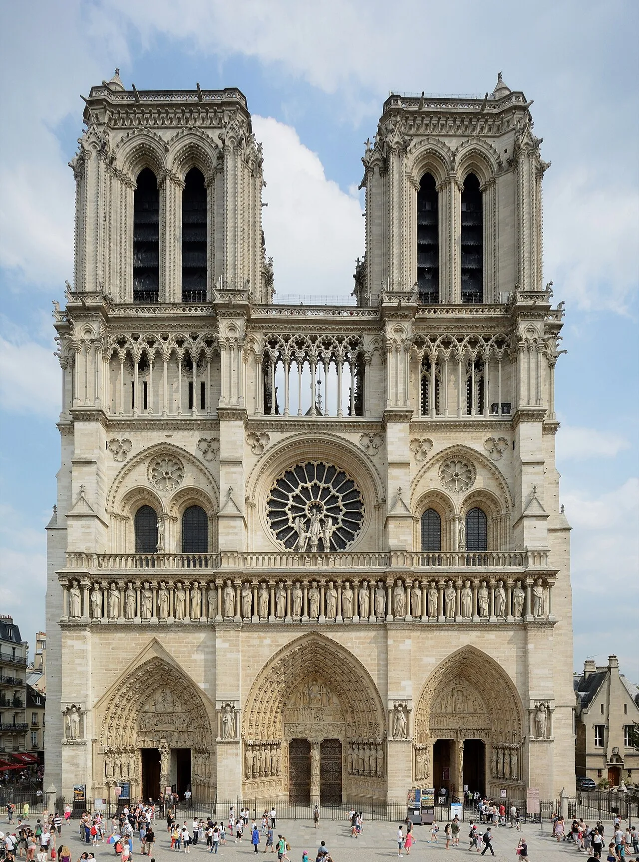
Notre Dame de Paris P e z i · CC BY-SA 3.0 -
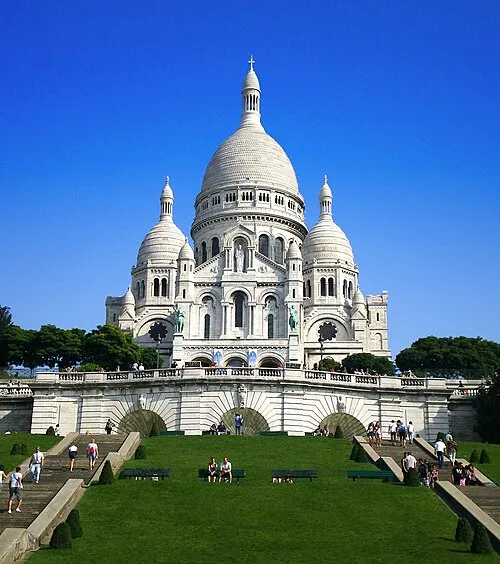
Sacré-Cœur Basilica Tonchino · CC BY-SA 3.0 -
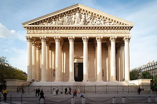
Madeleine Church Callaway Kosine – de Suzannet · CC BY 3.0 -
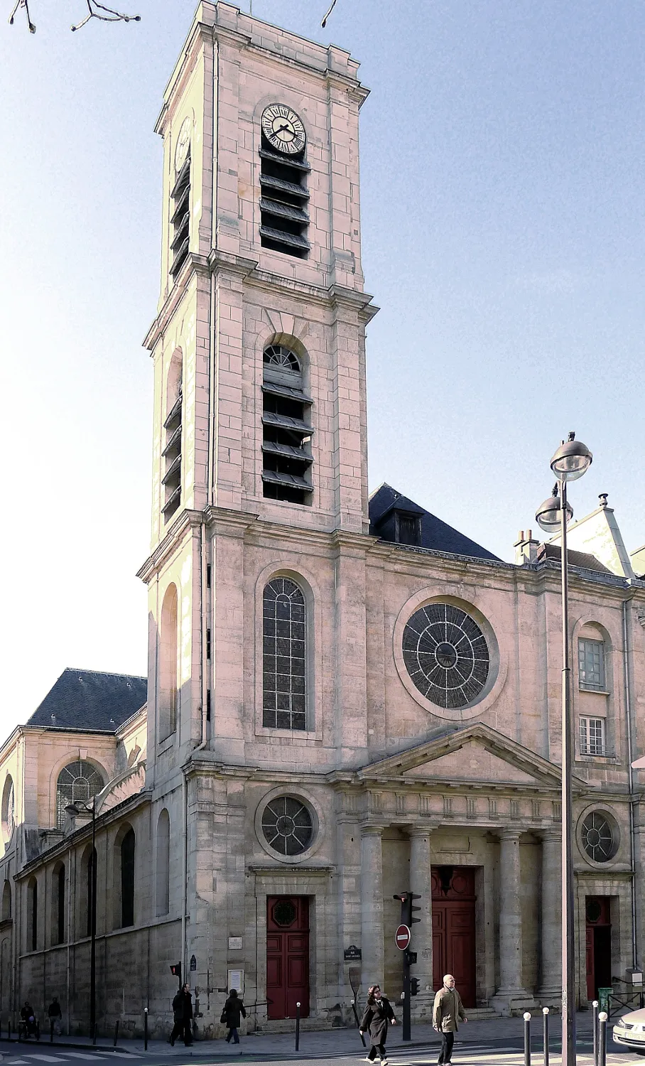
Église Saint-Jacques-du-Haut-Pas Mbzt · CC BY-SA 3.0 -
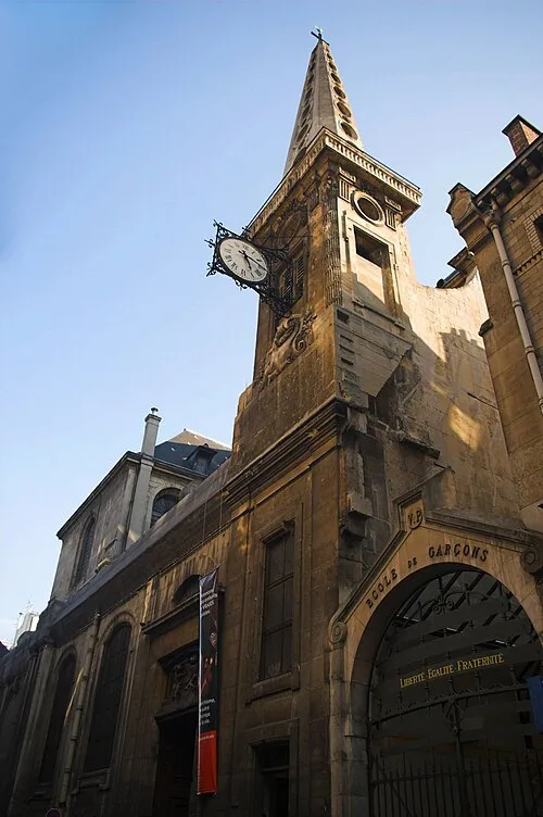
Saint-Louis-en-l'Île Fabienkhan · CC BY-SA 2.5


Climate of Park La Villette
Best months for sightseeingBest months for sightseeing: May–September.
This month · November
A cold month
Day 10° · Night 4° · Rain 52 mm
- Hottest month
- August (day 25°)
- Coldest month
- January (night 2°)
- Wettest month
- May (63 mm)
- Driest month
- August (44 mm)
Bars: average monthly low and high temperature. Below: precipitation. Monthly averages for 1970–2000 at about 18 km resolution, adjusted for elevation. Highlighted months are mild and relatively dry. Source: WorldClim 2.1 (CC BY 4.0).
Show values as a table
| Month | Jan | Feb | Mar | Apr | May | Jun | Jul | Aug | Sep | Oct | Nov | Dec |
|---|---|---|---|---|---|---|---|---|---|---|---|---|
| Average high (°C) | 7° | 8° | 12° | 15° | 19° | 22° | 25° | 25° | 21° | 16° | 10° | 8° |
| Average low (°C) | 2° | 2° | 4° | 5° | 9° | 12° | 14° | 14° | 11° | 8° | 4° | 3° |
| Precipitation (mm) | 52 | 46 | 49 | 51 | 63 | 57 | 58 | 44 | 54 | 58 | 52 | 57 |
Other places to visit in this season: May June July August September
How to get to Park La Villette
The nearest airport is Charles de Gaulle International Airport (CDG), 18 km to the northeast as the crow flies. The nearest large city is Paris 19 Buttes-Chaumont, 1 km to the southwest.
Airports
- Charles de Gaulle International Airport (CDG) Paris (Roissy-en-France, Val-d'Oise) 18 kmnortheast
- Paris-Orly Airport (ORY) Paris (Orly, Val-de-Marne) 18 kmsouth
- Beauvais-Tillé airport (BVA) Beauvais 66 kmnorth
Nearby large cities
- Paris 19 Buttes-Chaumont Population: 178.7K 1 kmsouthwest
- Paris 20 Ménilmontant Population: 185.1K 3 kmsouth
- Paris 18 Buttes-Montmartre Population: 183.1K 3 kmwest
- Paris 11 Popincourt Population: 138.2K 4 kmsouth
- Montreuil Population: 111.2K 5 kmsoutheast
Straight-line distances; road distances are longer. Airport data: OurAirports.
Day trips from Park La Villette
Within 100 km: 621 historic and cultural sites, 214 natural sites, 188 lakes, rivers and coasts.
0–25 km442 places
- Île Saint-Louis Island 5 kmSW
- Île de la Cité Island 5 kmSW
- Île du Pont Island 10 kmW
- Île de Puteaux Island 11 kmW
25–60 km279 places
- Île-Belle Island 38 kmW
- Île de Pothuis Island 27 kmNW
- Étangs de Villefermoy Lake 56 kmSE
- Étang de la Tour Lake 46 kmSW
60–100 km302 places
- Biotropica Natural site 97 kmNW
- Étang de Villeron Lake 70 kmSE
- Étang de Vergis Lake 72 kmE
- Étang de Moret Lake 68 kmSE
Straight-line distances.
Nearest towns and villages
-
Paris 19 Buttes-Chaumont City, Paris1.4 km SW
-
Pantin Village, Arrondissement of Bobigny1.3 km NE
-
Pantin Town, Pantin1.4 km E
-
Le Pré-Saint-Gervais Village, Arrondissement of Bobigny1.3 km SE
-
Le Pré-Saint-Gervais Town, Le Pré-Saint-Gervais1.3 km SE
-
Aubervilliers Village, Arrondissement of Saint-Denis2.1 km N
Nearby attractions & nature
Everything nearby-
Buttes-Chaumont Park Natural site, Paris Department1.5 km S
-
Eglise de la Villette Attraction, Paris0.9 km SW
-
Square Louise Michel Natural site, Paris3.6 km W
-
Sacré-Cœur Basilica Attraction, Paris3.6 km W
-
Barriere de la Villette Historic site, Paris1.9 km SW
-
Eglise Saint-Jean-Baptiste-de-Belleville Attraction, Paris1.9 km S
-
Eglise Saint-Denys-de-la-Chapelle Attraction, Paris2.3 km W
-
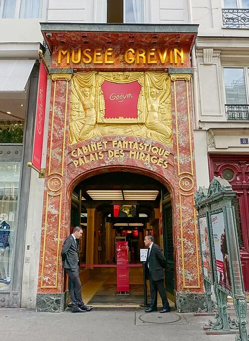 Musée Grévin Museum, Paris4.3 km SW
Sources & licences
Data last updated: