- Population
- 63,410
- 63.4K
- Elevation
- 1,117 m
- above sea level
- Local time
- UTC+01:00
- Europe/Paris · UTC+01:00
- Places inside
- 116
- listed under Arrondissement of Mende
- Airports
- RDZ Rodez–Aveyron Airport82 km
- AUR Aurillac airport87 km
About Arrondissement of Mende
Arrondissement of Mende is a municipality. Location: Lozère, Occitanie. Population: 63,410. Elevation: 1,117 m. The best months to visit are July–August. The nearest airport is Rodez–Aveyron Airport (82 km). Nearby sights include Bois de Bouls and Plateau du Palais du Roi.
Photos of Arrondissement of Mende
-
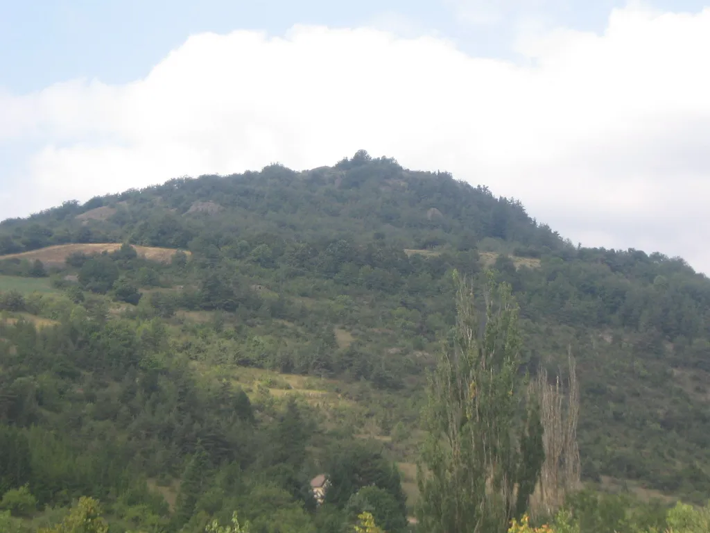
Truc de la Fare Jmp48 · Public domain -
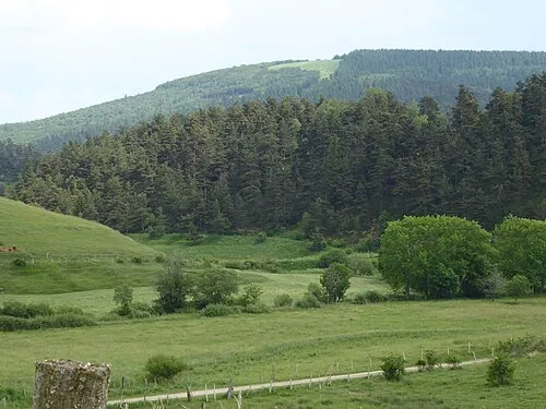
Montagne du Goulet Weissenbachjean · CC BY-SA 4.0 -
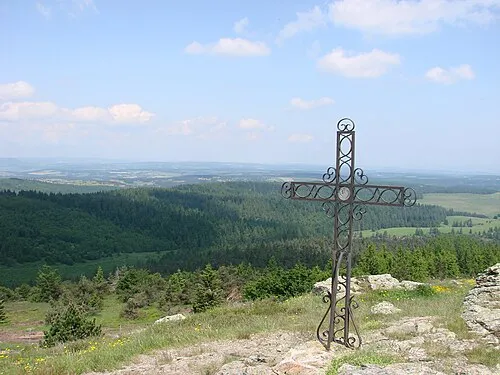
Moure de la Gardille Fabrice Charpin · CC BY-SA 3.0 -
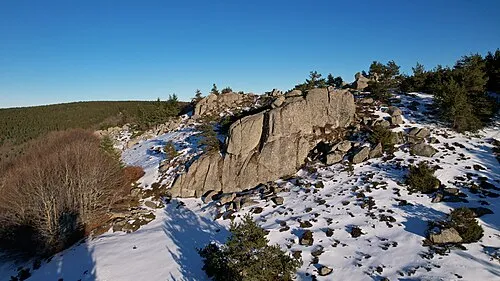
Truc de Chapelat Charpalprod · CC BY-SA 4.0 -
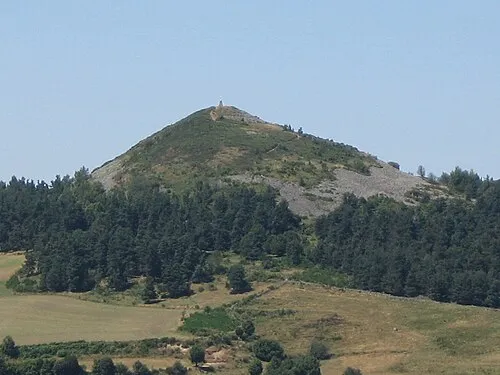
Pic de Mus Jean-marc PLANCHON · CC BY-SA 3.0


Climate of Arrondissement of Mende
Best months for sightseeingBest months for sightseeing: July–August.
This month · November
A cold month
Day 7° · Night 0° · Rain 89 mm
- Hottest month
- July (day 22°)
- Coldest month
- January (night -3°)
- Wettest month
- October (124 mm)
- Driest month
- July (47 mm)
Bars: average monthly low and high temperature. Below: precipitation. Monthly averages for 1970–2000 at about 18 km resolution, adjusted for elevation. Highlighted months are mild and relatively dry. Source: WorldClim 2.1 (CC BY 4.0).
Show values as a table
| Month | Jan | Feb | Mar | Apr | May | Jun | Jul | Aug | Sep | Oct | Nov | Dec |
|---|---|---|---|---|---|---|---|---|---|---|---|---|
| Average high (°C) | 3° | 5° | 7° | 9° | 14° | 18° | 22° | 21° | 18° | 12° | 7° | 5° |
| Average low (°C) | -3° | -3° | -1° | 1° | 5° | 8° | 10° | 10° | 7° | 4° | 0° | -2° |
| Precipitation (mm) | 90 | 72 | 63 | 81 | 93 | 67 | 47 | 64 | 84 | 124 | 89 | 86 |
How to get to Arrondissement of Mende
The nearest airport is Rodez–Aveyron Airport (RDZ), 82 km to the west as the crow flies. The nearest large city is Nîmes, 114 km to the southeast.
Airports
- Rodez–Aveyron Airport (RDZ) Rodez/Marcillac 82 kmwest
- Aurillac airport (AUR) Aurillac 87 kmwest
- Nîmes-Arles-Camargue Airport (FNI) Nîmes/Garons 124 kmsoutheast
Nearby large cities
- Nîmes Population: 148.2K 114 kmsoutheast
- Saint-Etienne Population: 176.3K 115 kmnortheast
- Montpellier Population: 248.3K 119 kmsouth
- Clermont-Ferrand Population: 147.9K 130 kmnorth
- Lyon Population: 520.8K 164 kmnortheast
Straight-line distances; road distances are longer. Airport data: OurAirports.
Day trips from Arrondissement of Mende
Within 100 km: 168 historic and cultural sites, 625 natural sites, 165 lakes, rivers and coasts.
0–25 km33 places
- Lac de Charpal Lake 9 kmE
- Truc du Midi Mountain 17 kmSW
- Truc de Fortunio Mountain 6 kmE
- Signal de Randon Mountain 7 kmE
25–60 km340 places
- Lac d'Issarlès Lake 52 kmE
- Lac du Bouchet Lake 40 kmNE
- Lac du barrage de Naussac Lake 30 kmNE
- Lac de Grandval Lake 44 kmNW
60–100 km585 places
- Alba-la-Romaine (Ardèche, France) -- Théâtre gallo-romain Historic site 91 kmE
- Ancien îlot Gambetta Island 87 kmW
- Lac de l'Esclauze Lake 100 kmNW
- Lac de Pareloup Lake 74 kmSW
Straight-line distances.
Arrondissement of Mende and similar cities
Side by side with cities of similar size in the same country: population, elevation and climate.
| Measure | Arrondissement of Mende | Quimper | Valence | Chambéry |
|---|---|---|---|---|
| Population | 63.4K | 63.8K | 63.9K | 61.6K |
| Elevation | 1,117 m | 13 m | 126 m | 279 m |
| Summer day (hottest month) | 22° | 22° | 29° | 28° |
| Winter night (coldest month) | -3° | 5° | 1° | -1° |
| Annual rainfall | 960 mm | 1,027 mm | 888 mm | 1,074 mm |
| Best months | Jul–Aug | Jun–Aug | May–Sep | May–Sep |
| Distance | — | 691 km | 119 km | 219 km |
Climate values are 1970–2000 monthly averages; straight-line distance.
Places in Arrondissement of Mende
116 places- 1 Mende 11.9K
- 2 Marvejols 4.8K
- 3 Saint-Chély-d'Apcher 4K
- 4 Langogne 2.8K
- 5 Peyre en Aubrac 2.3K
- 6 Bourgs sur Colagne 2.2K
- 7 La Canourgue 2.1K
- 8 Chanac 1.4K
- 9 Saint-Alban-sur-Limagnole 1.3K
- 10 Monts-de-Randon 1.3K
- 11 Montrodat 1.2K
- 12 Mont Lozère et Goulet 1.1K
- 13 Banassac-Canilhac 1K
- 14 Chastel-Nouvel 938
- 15 Badaroux 930
- 16 Saint-Germain-du-Teil 860
- 17 Barjac 806
- 18 Le Malzieu-Ville 743
- 19 Grandrieu 736
- 20 Saint-Étienne-du-Valdonnez 647
- 21 Saint-Bauzile 624
- 22 Villefort 618
- 23 Rimeize 614
- 24 Albaret-Sainte-Marie 571
- 25 Balsièges 544
- 26 Bel-Air-Val-d'Ance 517
- 27 Châteauneuf-de-Randon 516
- 28 Nasbinals 509
- 29 Le Malzieu-Forain 484
- 30 Les Bessons 442
- 31 Esclanèdes 427
- 32 Brenoux 384
- 33 Fournels 371
- 34 Naussac-Fontanes 368
- 35 Auroux 364
- 36 Antrenas 331
- 37 Lanuéjols 314
- 38 Saint-Pierre-le-Vieux 314
- 39 Les Monts-Verts 313
- 40 La Fage-Saint-Julien 303
- 41 Chaudeyrac 291
- 42 Prévenchères 267
- 43 Allenc 265
- 44 Saint Bonnet-Laval 258
- 45 Blavignac 252
- 46 Serverette 249
- 47 Prinsuéjols-Malbouzon 246
- 48 Rocles 242
- 49 Pelouse 231
- 50 Fontans 227
- 51 Prunières 226
- 52 Le Buisson 221
- 53 Termes 214
- 54 Saint-Léger-du-Malzieu 213
- 55 Arzenc-de-Randon 207
- 56 Luc 207
- 57 Altier 204
- 58 Palhers 200
- 59 Cultures 197
- 60 Grèzes 195
Bar: population relative to the most populous place in this list.
Nearby attractions & nature
Everything nearby-
Bois de Bouls Natural site, Lozère5.5 km W
-
Plateau du Palais du Roi Natural site, Lozère9.7 km SE
-
Ruisseau de Mézère River, Lozère9.9 km NW
-
Bois de Faibesse Natural site, Lozère12 km W
-
Montagne de la Margeride Mountain, Lozère22 km N
-
Ruisseau de Crueize River, Lozère14 km W
-
Ruisseau le Travel River, Lozère14 km SW
-
Ruisseau de Guitart River, Lozère16 km NW
Sources & licences
Data last updated: