Bois de Carry
Located in Bouches-du-Rhône, Provence-Alpes-Côte d'Azur Region Coordinates: 43°21′00″ N 5°09′00″ E
- Elevation
- 105 m
- above sea level
- Local time
- UTC+01:00
- Europe/Paris · UTC+01:00
- Airports
- MRS Marseille Provence Airport11 km
- AVN Avignon Caumont airport65 km
About Bois de Carry
Bois de Carry is a natural site. Location: Bouches-du-Rhône, Provence-Alpes-Côte d'Azur Region. The best months to visit are May–September. The nearest airport is Marseille Provence Airport (11 km). Nearby sights include Bois de Châteauneuf and Cap Rousset.
Climate of Bois de Carry
Best months for sightseeingBest months for sightseeing: May–September.
This month · November
Outside the best season
Day 14° · Night 7° · Rain 57 mm
- Hottest month
- July (day 28°)
- Coldest month
- January (night 3°)
- Wettest month
- October (99 mm)
- Driest month
- July (18 mm)
Bars: average monthly low and high temperature. Below: precipitation. Monthly averages for 1970–2000 at about 18 km resolution, adjusted for elevation. Highlighted months are mild and relatively dry. Source: WorldClim 2.1 (CC BY 4.0).
Show values as a table
| Month | Jan | Feb | Mar | Apr | May | Jun | Jul | Aug | Sep | Oct | Nov | Dec |
|---|---|---|---|---|---|---|---|---|---|---|---|---|
| Average high (°C) | 10° | 11° | 14° | 17° | 21° | 25° | 28° | 28° | 24° | 19° | 14° | 11° |
| Average low (°C) | 3° | 4° | 6° | 8° | 12° | 16° | 18° | 18° | 15° | 11° | 7° | 4° |
| Precipitation (mm) | 58 | 46 | 48 | 59 | 51 | 33 | 18 | 38 | 65 | 99 | 57 | 55 |
Other places to visit in this season: May June July August September
How to get to Bois de Carry
The nearest airport is Marseille Provence Airport (MRS), 11 km to the northeast as the crow flies. The nearest large city is Marseille, 20 km to the east.
Airports
- Marseille Provence Airport (MRS) Marignane, Bouches-du-Rhône 11 kmnortheast
- Avignon Caumont airport (AVN) Avignon 65 kmnorth
- Nîmes-Arles-Camargue Airport (FNI) Nîmes/Garons 75 kmnorthwest
Nearby large cities
- Marseille Population: 877.2K 20 kmeast
- Aix-en-Provence Population: 146.8K 31 kmnortheast
- Toulon Population: 168.7K 68 kmeast
- Nîmes Population: 148.2K 84 kmnorthwest
- Montpellier Population: 248.3K 107 kmwest
Straight-line distances; road distances are longer. Airport data: OurAirports.
Day trips from Bois de Carry
Within 100 km: 140 historic and cultural sites, 348 natural sites, 209 lakes, rivers and coasts.
0–25 km90 places
- Plages du Prado Beach 20 kmSE
- Plage de Sainte-Croix Beach 7 kmW
- Plage des Laurons Beach 10 kmW
- Plage Napoléon Beach 22 kmW
25–60 km251 places
- Plage de la Madrague Beach 49 kmSE
- La Grande Plage Beach 42 kmSE
- Plage du Bestouan Beach 35 kmSE
- Plage de la Calanque de Sugiton Beach 29 kmSE
60–100 km356 places
- Plage de l'Estagnol Beach 97 kmE
- Plage des Salins Beach 88 kmE
- Plage des Darboussières Beach 86 kmSE
- Plage de l'Almanarre Beach 85 kmE
Straight-line distances.
Nearest towns and villages
-
Carry-le-Rouet Village, Arrondissement of Istres2 km S
-
Carry-le-Rouet Town, Carry-le-Rouet2.1 km S
-
Châteauneuf-les-Martigues Village, Arrondissement of Istres3.8 km N
-
Sausset-les-Pins Village, Arrondissement of Istres3.5 km SW
-
Châteauneuf-les-Martigues Town, Châteauneuf-les-Martigues3.9 km N
-
Ensuès-la-Redonne Village, Arrondissement of Istres4.4 km E
Nearby attractions & nature
Everything nearby-
Bois de Châteauneuf Natural site, Bouches-du-Rhône2.3 km NW
-
Cap Rousset Natural site, Carry-le-Rouet2.7 km SE
-
Chaîne de l'Estaque Mountain, Bouches-du-Rhône3.5 km E
-
Cap Méjean Natural site, Bouches-du-Rhône6.2 km E
-
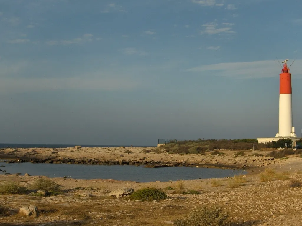 Cap Couronne Natural site, Provence-Alpes-Côte d'Azur Region8.3 km W
-
Colline Notre-Dame Mountain, Marignane9.1 km NE
-
Étang de Bolmon Lake, Bouches-du-Rhône7.1 km N
-
Le Pérussier Mountain, Le Rove9.9 km E
More nature in France
-
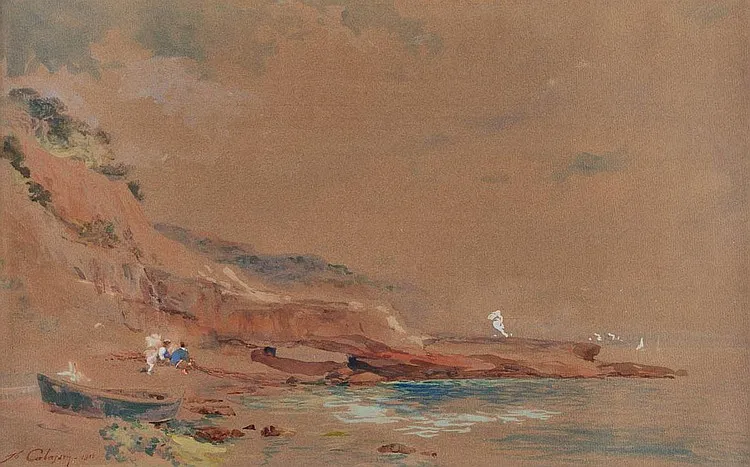 Cap Janet Natural site, Marseille16 km E
-
La Grande Colle Mountain, Les Pennes-Mirabeau14 km E
-
Cap Pinède Natural site, Marseille17 km E
-
Anse du Verdon Natural site, Bouches-du-Rhône8.5 km W
-
Étang de Vaïne Natural site, Bouches-du-Rhône13 km N
-
La Tête d'Auguste Mountain, Les Pennes-Mirabeau15 km E
Sources & licences
Data last updated: