Heidelberg
Located in Stadtkreis Heidelberg, Karlsruhe Region Coordinates: 49°24′34″ N 8°41′37″ E
- Population
- 155,756
- 155.8K
- Elevation
- 125 m
- above sea level
- Local time
- UTC+01:00
- Europe/Berlin · UTC+01:00
- Places inside
- 84
- listed under Heidelberg
- Airports
- MHG Mannheim-City Airport15 km
- FRA Frankfurt Main Airport69 km
About Heidelberg
Heidelberg is a village. Location: Stadtkreis Heidelberg, Karlsruhe Region. Population: 155,756. Elevation: 125 m. The best months to visit are May–September. The nearest airport is Mannheim-City Airport (15 km). Nearby sights include Hohe Nistler and Sendemast Heidelberg-Dossenheim.
Photos of Heidelberg
-
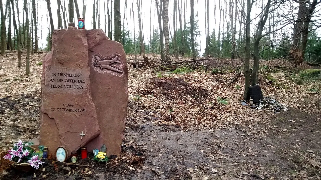
Hohe Nistler Cerroramon · CC BY-SA 3.0 -
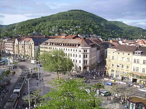
Heiligenberg Immanuel Giel · Public domain -
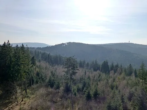
Dossenheimer Kopf Muck · CC BY-SA 4.0 -
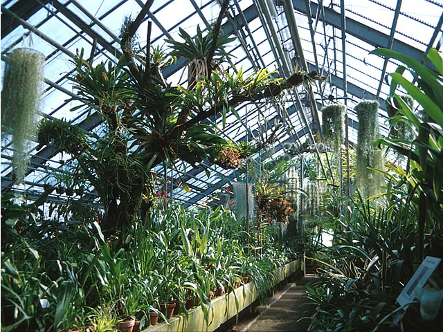
Botanical Garden Heidelberg University Brocchinia · CC BY-SA 3.0 -
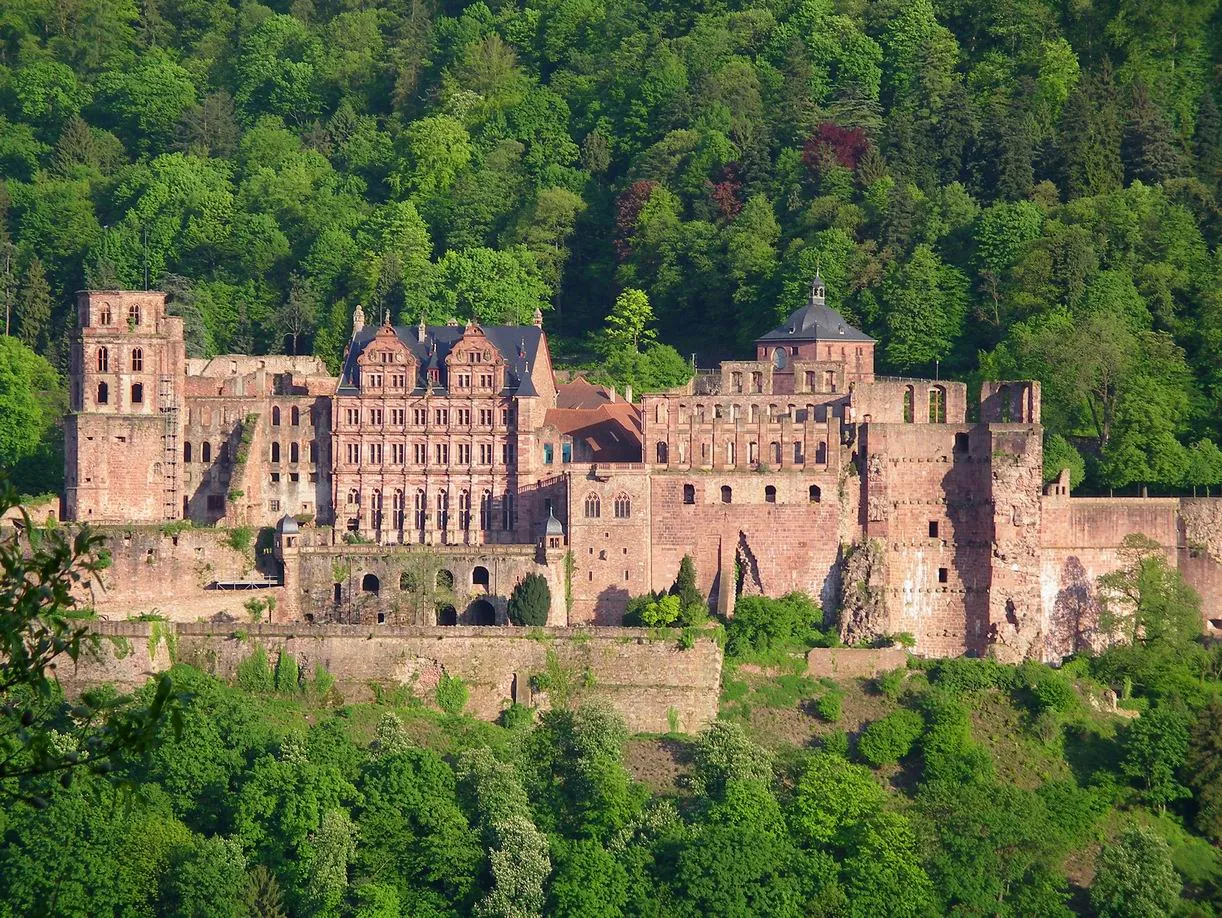
Heidelberg Castle Pumuckel42 · CC BY-SA 3.0


Climate of Heidelberg
Best months for sightseeingBest months for sightseeing: May–September.
This month · November
A cold month
Day 8° · Night 3° · Rain 87 mm
- Hottest month
- July (day 24°)
- Coldest month
- January (night 0°)
- Wettest month
- December (94 mm)
- Driest month
- April (63 mm)
Bars: average monthly low and high temperature. Below: precipitation. Monthly averages for 1970–2000 at about 18 km resolution, adjusted for elevation. Highlighted months are mild and relatively dry. Source: WorldClim 2.1 (CC BY 4.0).
Show values as a table
| Month | Jan | Feb | Mar | Apr | May | Jun | Jul | Aug | Sep | Oct | Nov | Dec |
|---|---|---|---|---|---|---|---|---|---|---|---|---|
| Average high (°C) | 5° | 6° | 10° | 14° | 19° | 22° | 24° | 24° | 20° | 14° | 8° | 6° |
| Average low (°C) | 0° | 0° | 3° | 5° | 10° | 13° | 15° | 14° | 11° | 7° | 3° | 1° |
| Precipitation (mm) | 78 | 71 | 77 | 63 | 86 | 87 | 89 | 63 | 75 | 83 | 87 | 94 |
Other places to visit in this season: May June July August September
How to get to Heidelberg
The nearest airport is Mannheim-City Airport (MHG), 15 km to the northwest as the crow flies. For international flights: Frankfurt Main Airport (FRA) (69 km). The nearest large city is Heidelberg, 1 km to the southwest.
Airports
- Mannheim-City Airport (MHG) Mannheim 15 kmnorthwest
- Frankfurt Main Airport (FRA) Frankfurt am Main 69 kmnorth
- Karlsruhe Baden-Baden Airport (FKB) Rheinmünster 83 kmsouthwest
Nearby large cities
- Heidelberg Population: 143.3K 1 kmsouthwest
- Mannheim Population: 308K 19 kmnorthwest
- Ludwigshafen am Rhein Population: 163.2K 20 kmnorthwest
- Heilbronn Population: 120.7K 49 kmsoutheast
- Karlsruhe Population: 283.8K 49 kmsouthwest
Straight-line distances; road distances are longer. Airport data: OurAirports.
Day trips from Heidelberg
Within 100 km: 1,135 historic and cultural sites, 3,979 natural sites, 898 lakes, rivers and coasts.
0–25 km455 places
- Elsenz River 8 kmE
- Friesenheimer Insel Island 21 kmNW
- Insel Flotzgrün Island 23 kmSW
- Neckarinsel Island 1 kmW
25–60 km1,630 places
- Modau River 48 kmN
- Große Woog Lake 51 kmN
- Altrhein Kleiner Bodensee Lake 45 kmSW
- Hinterer Roxheimer Altrhein Lake 29 kmNW
60–100 km3,927 places
- Hessental Concentration Camp Historic site 86 kmSE
- Umpfer River 76 kmE
- Rench River 96 kmSW
- Lauter River 95 kmSE
Straight-line distances.
Places in Heidelberg
84 placesBar: population relative to the most populous place in this list.
Cities & villages9
- Bergheim · Village
- Boxberg · Village
- Emmertsgrund · Village
- Grenzhof · Village
- Handschuhsheim · Neighbourhood
- Kirchheim · Neighbourhood
- Neuenheim · Neighbourhood
- Patrick-Henry-Village · Village
- Peterstal · Village
Mountains & nature17
- Ameisenbuckel · Mountain
- Apfelskopf · Mountain
- Auerhahnenkopf · Mountain
- Bühlerwiese · Natural site
- Dossenheimer Kopf · Mountain
- Gaisberg · Mountain
- Geigersheide · Mountain
- Gewannhöhe · Mountain
- Glaskopf · Mountain
- Graham Park · Natural site
- Heidenknörzel · Mountain
- Heiligenberg · Mountain
- Hochfirst · Mountain
- Königstuhl · Mountain
- Lammerskopf · Mountain
- Mühlhang · Mountain
- Penta-Park · Natural site
Lakes, rivers & coasts1
- Neckarinsel · Island
Heritage & sights32
- Abtei Neuburg · Attraction
- AFN-Mittelwellensendemast Heidelberg · Landmark
- Alte Brücke · Landmark
- Alte Kapelle Wieblingen · Attraction
- Alte St. Bartholomäuskirche Wieblingen · Attraction
- Antikenmuseum und Abguss-Sammlung · Museum
- Botanical Garden Heidelberg University · Attraction
- Bunsen-Denkmal · Landmark
- Czernybrücke · Landmark
- Denkmal Ehemalige Synagoge · Landmark
- Deutsches Verpackungsmuseum · Museum
- Erlöserkirche · Attraction
- Ernst-Walz-Brücke · Landmark
- Fernmeldeturm der US-Streitkräfte Heidelberg · Landmark
- Fernmeldeturm Heidelberg · Landmark
- Fernsehturm Heidelberg · Landmark
- Friedenskirche · Attraction
- Heidelberg Castle · Historic site
- Heidelberg Zoo · Attraction
- Heiligenbergturm · Landmark
- Heiliggeistkirche · Attraction
- Hexenturm · Landmark
- Kirche der evangelischen Kapellengemeinde · Attraction
- Kirche Jesu Christi · Attraction
- Konzerthalle Zwinger · Attraction
- Kornmarkt-Madonna · Landmark
- Kreuzkirche Wieblingen · Attraction
- Kurpfälzisches Museum · Museum
- Museum Haus Cajeth · Museum
- Peterskirche · Attraction
- Pfarrkirche Heiliger Geist und St. Ignatius · Attraction
- Providenzkirche · Attraction
Nearby attractions & nature
Everything nearby-
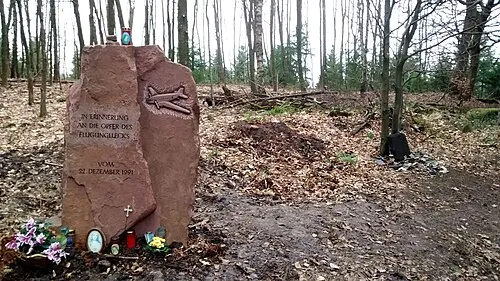 Hohe Nistler Mountain, Dossenheim4.2 km N
-
Sendemast Heidelberg-Dossenheim Landmark, Dossenheim3.9 km NW
-
Kronenburg Historic site, Dossenheim4.5 km N
-
St. Pankratius Attraction, Dossenheim4.6 km N
-
Hartenbühl Mountain, Dossenheim5.9 km N
-
Weißer Stein Mountain, Dossenheim5.3 km NE
Other cities and towns in Stadtkreis Heidelberg
-
 Weststadt Neighbourhood, Heidelberg1 km SW
-
Wieblingen Neighbourhood, Heidelberg4.1 km NW
-
 Ziegelhausen Village, Heidelberg4.6 km E
-
Rohrbach Neighbourhood, Heidelberg3.3 km S
-
 Schlierbach Neighbourhood, Heidelberg4.8 km E
Sources & licences
Data last updated: