Landkreis Bamberg
Located in Upper Franconia, Bavaria Coordinates: 49°55′05″ N 10°52′30″ E
- Population
- 147,319
- 147.3K
- Elevation
- 237 m
- above sea level
- Local time
- UTC+01:00
- Europe/Berlin · UTC+01:00
- Places inside
- 44
- listed under Landkreis Bamberg
About Landkreis Bamberg
Landkreis Bamberg is a municipality. Location: Upper Franconia, Bavaria. Population: 147,319. Elevation: 237 m.
In comparison
- Most populous of 13 places in Upper Franconia
- 146 sights and natural places within 10 km Aufseßhöflein, Seebach
- Listed here: Village: 36, Mountain: 4, Natural site: 2, Landmark: 1
Climate of Landkreis Bamberg
Best months for sightseeing: May–September.
| Month | Jan | Feb | Mar | Apr | May | Jun | Jul | Aug | Sep | Oct | Nov | Dec |
|---|---|---|---|---|---|---|---|---|---|---|---|---|
| Average high (°C) | 3° | 4° | 9° | 14° | 19° | 22° | 24° | 24° | 19° | 13° | 7° | 4° |
| Average low (°C) | -3° | -3° | 0° | 3° | 7° | 11° | 12° | 12° | 9° | 5° | 1° | -1° |
| Precipitation (mm) | 50 | 42 | 49 | 44 | 59 | 77 | 74 | 54 | 53 | 54 | 53 | 61 |
Monthly averages for 1970–2000 at about 18 km resolution, adjusted for elevation. Highlighted months are mild and relatively dry. Source: WorldClim 2.1 (CC BY 4.0).
Other places to visit in this season: May · June · July · August · September
Airports nearest to Landkreis Bamberg
- Nuremberg Airport (NUE) Nuremberg 49 km
- Erfurt-Weimar Airport (ERF) Erfurt 118 km
- Karlovy Vary Airport (KLV) Karlovy Vary 149 km
Straight-line distance; airports with scheduled flights only. Source: OurAirports (public domain).
Places in Landkreis Bamberg
44 places-
Hirschaid, Markt Village12.4K
-
Memmelsdorf Village8.9K
-
Hallstadt Village8.8K
-
Strullendorf Village7.8K
-
Scheßlitz Village7.1K
-
Burgebrach, Markt Village7.1K
-
Stegaurach Village6.9K
-
Litzendorf Village6.3K
-
Schlüsselfeld Village5.9K
-
Bischberg Village6.1K
-
Frensdorf Village5.2K
-
Zapfendorf, Markt Village4.9K
-
Rattelsdorf, Markt Village4.6K
-
Oberhaid Village4.5K
-
Breitengüßbach Village4.5K
-
Baunach Village4.1K
-
Buttenheim, Markt Village3.7K
-
Heiligenstadt i.OFr., Markt Village3.6K
-
Viereth-Trunstadt Village3.6K
-
Gundelsheim Village3.5K
-
Pommersfelden Village3.1K
-
Walsdorf Village2.6K
-
Kemmern Village2.5K
-
Pettstadt Village2.2K
-
Altendorf Village2.2K
-
Reckendorf Village2K
-
Schönbrunn i.Steigerwald Village1.9K
-
Ebrach, Markt Village1.8K
-
Lisberg Village1.7K
-
Priesendorf Village1.5K
-
Burgwindheim, Markt Village1.3K
-
Königsfeld Village1.3K
-
Stadelhofen Village1.2K
-
Lauter Village1.2K
-
Gerach Village1K
-
Wattendorf Village632
-
Abschnittsbefestigung Ha-Knock Mountain
-
Einsiedlerbrunnen Natural site
-
Gehäu Mountain
-
Hubertusstein Landmark
-
Katzenberg Mountain
-
nördlicher Geisberg Mountain
-
Ottobrunnen Natural site
-
Weiden-Graben River
Nearby attractions & nature
Everything nearby-
Aufseßhöflein Historic site, Bamberg0.7 km E
-
ERBA-Park Natural site, Bamberg1.5 km S
-
Das BaERBAla auf der Regnitzspitze Landmark, Bamberg1.6 km SW
-
Regnitz-Fischpass im Erba-Park River, Bamberg1.6 km SW
-
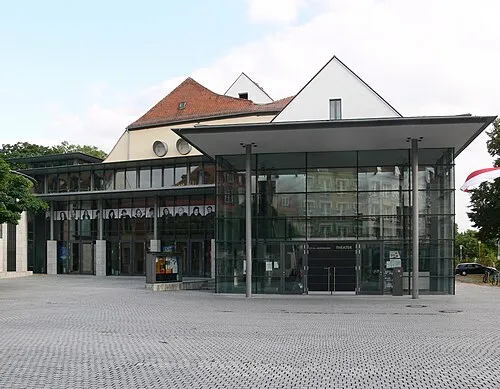 E.T.A.-Hoffmann-Theater Attraction, Bamberg3.2 km S
-
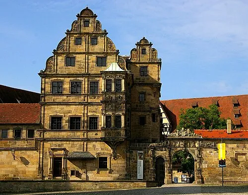 Historical Museum Bamberg Museum, Bamberg3 km S
-
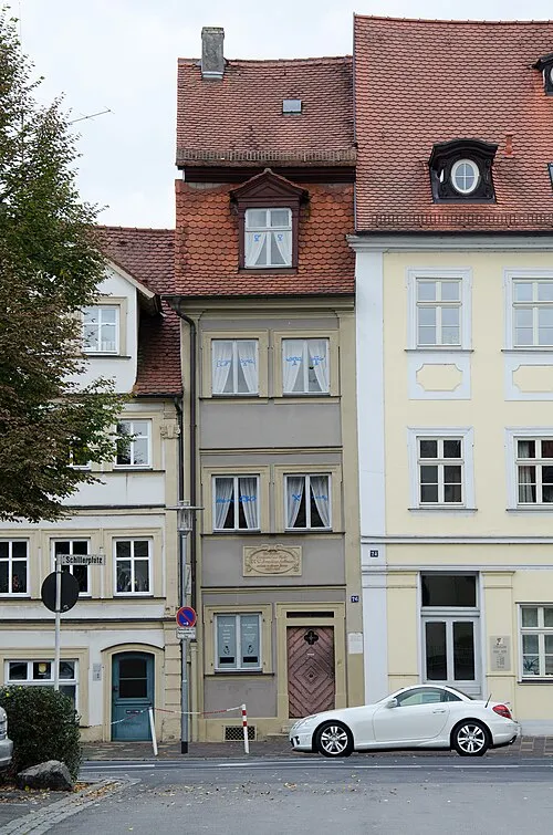 E.T.A. Hoffmann-Haus Museum, Bamberg3.3 km S
-
Feuerwehrmuseum Bamberg Museum, Bamberg2 km SE
Other cities and towns in Upper Franconia
-
Hallstadt Town, Hallstadt1.2 km N
-
Bischberg Town, Bischberg3.2 km W
-
Memmelsdorf Town, Memmelsdorf6.2 km E
-
Stegaurach Town, Stegaurach6.3 km S
-
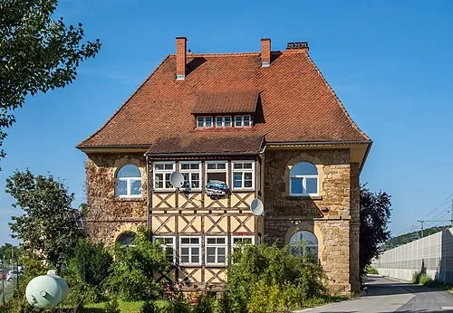 Zapfendorf Town, Zapfendorf, Markt12 km N
-
Landkreis Forchheim Municipality, Upper Franconia29 km SE
Sources & licences
Data last updated: