Dreiskau-Muckern
Located in Großpösna, Landkreis Leipzig Coordinates: 51°13′00″ N 12°27′59″ E
- Elevation
- 130 m
- above sea level
- Local time
- UTC+01:00
- Europe/Berlin · UTC+01:00
- Airports
- LEJ Leipzig/Halle Airport28 km
- DRS Dresden Airport91 km
About Dreiskau-Muckern
Dreiskau-Muckern is a village. Location: Großpösna, Landkreis Leipzig. Elevation: 130 m.
Dreiskau-Muckern is an Ortsteil (division) of the municipality Großpösna in the Landkreis Leipzig in Saxony, Germany. It was formed in 1957 from the former municipalities Dreiskau and Muckern, and became part of Großpösna in 1997.
Source: Wikipedia · CC BY-SA 4.0
Photos of Dreiskau-Muckern
-
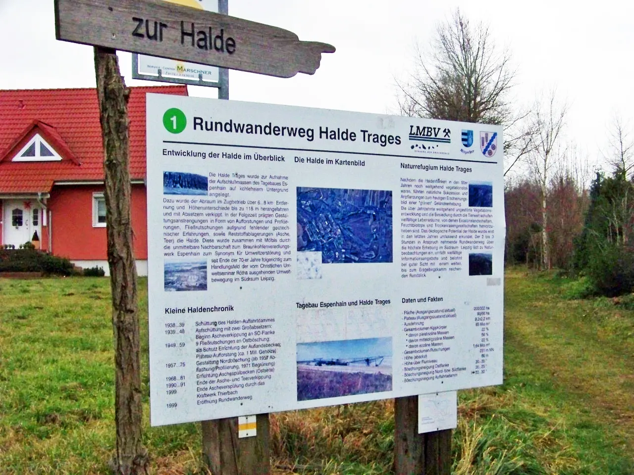
Halde Trages Tnemtsoni · CC BY-SA 3.0

Climate of Dreiskau-Muckern
Best months for sightseeingBest months for sightseeing: May–September.
This month · November
A cold month
Day 8° · Night 2° · Rain 47 mm
- Hottest month
- July (day 24°)
- Coldest month
- January (night -2°)
- Wettest month
- July (75 mm)
- Driest month
- February (33 mm)
Bars: average monthly low and high temperature. Below: precipitation. Monthly averages for 1970–2000 at about 18 km resolution, adjusted for elevation. Highlighted months are mild and relatively dry. Source: WorldClim 2.1 (CC BY 4.0).
Show values as a table
| Month | Jan | Feb | Mar | Apr | May | Jun | Jul | Aug | Sep | Oct | Nov | Dec |
|---|---|---|---|---|---|---|---|---|---|---|---|---|
| Average high (°C) | 3° | 4° | 8° | 13° | 19° | 22° | 24° | 24° | 19° | 14° | 8° | 4° |
| Average low (°C) | -2° | -2° | 1° | 4° | 8° | 12° | 14° | 13° | 10° | 6° | 2° | -1° |
| Precipitation (mm) | 34 | 33 | 41 | 35 | 52 | 54 | 75 | 66 | 51 | 38 | 47 | 41 |
Other places to visit in this season: May June July August September
How to get to Dreiskau-Muckern
The nearest airport is Leipzig/Halle Airport (LEJ), 28 km to the northwest as the crow flies. The nearest large city is Leipzig, 15 km to the northwest.
Airports
- Leipzig/Halle Airport (LEJ) Schkeuditz 28 kmnorthwest
- Dresden Airport (DRS) Dresden 91 kmeast
- Erfurt-Weimar Airport (ERF) Erfurt 109 kmwest
Nearby large cities
- Leipzig Population: 505K 15 kmnorthwest
- Halle Population: 237.9K 45 kmnorthwest
- Gera Population: 104.7K 46 kmsouthwest
- Chemnitz Population: 247.2K 53 kmsoutheast
- Jena Population: 104.7K 69 kmsouthwest
Straight-line distances; road distances are longer. Airport data: OurAirports.
Day trips from Dreiskau-Muckern
Within 100 km: 516 historic and cultural sites, 2,272 natural sites, 660 lakes, rivers and coasts.
0–25 km234 places
- Speicherbecken Witznitz Lake 8 kmS
- Herthasee Lake 21 kmE
- Großsteinberger See Lake 13 kmNE
- Elsterbecken Lake 17 kmNW
25–60 km710 places
- Sprotte River 31 kmS
- Rabeninsel Island 46 kmNW
- Vogtlandsee Lake 28 kmN
- Langer Rodaer See Lake 30 kmE
60–100 km2,504 places
- Buchenwald concentration camp Historic site 88 kmW
- Pláň Mountain 98 kmS
- Roda River 71 kmSW
- Roda River 72 kmSW
Straight-line distances.
Nearby attractions & nature
Everything nearby-
Schlößerberg Mountain, Rötha3 km SW
-
Halde Trages Mountain, Rötha5.4 km SE
-
Geierberg Mountain, Neukieritzsch4.6 km S
-
Oberbirken Natural site, Saxony4 km NE
-
Böhlen Concentration Camp Historic site, Böhlen5.8 km W
-
Kleine Pleiße River, Saxony4.6 km W
Other cities and towns in Großpösna
-
Magdeborn Village, Großpösna3.1 km NW
-
 Störmthal Village, Großpösna3.3 km N
-
 Güldengossa Village, Großpösna4.7 km N
-
Göltzschen Village, Großpösna2.1 km NW
-
Rödgen Village, Großpösna2.7 km N
-
Tanzberg Village, Großpösna2.9 km NW
Sources & licences
Data last updated: · 2 independent sources