Vravrona
Located in Markopoulo Mesogaias, Nomarchía Anatolikís Attikís Coordinates: 37°55′13″ N 24°00′45″ E

- Elevation
- 12 m
- above sea level
- Local time
- UTC+02:00
- Europe/Athens · UTC+02:00
- Airports
- ATH Athens Eleftherios Venizelos International Airport6 km
- JMK Mykonos Island National Airport130 km
About Vravrona
Vravrona is a village. Location: Markopoulo Mesogaias, Nomarchía Anatolikís Attikís. Elevation: 12 m.
Brauron (; Ancient Greek: Βραυρών) was one of the twelve cities of ancient Attica, but never mentioned as a deme, though it continued to exist down to the latest times. It was situated on or near the eastern coast of Attica, between Steiria and Halae Araphenides, near the river Erasinus. Brauron is celebrated on account of the worship of Artemis Brauronia, in whose honor a festival was celebrated in this place.
Source: Wikipedia · CC BY-SA 4.0
At a glance
- Heritage designation
- archaeological site in Greece
- Official website
- odysseus.culture.gr
Source: Wikidata
Photos of Vravrona
-

C messier · CC BY-SA 4.0 -

Vikidoga · CC BY-SA 4.0 -

Lea974 · CC BY-SA 4.0 -

Panosinkent · CC BY-SA 4.0 -

Ava Babili · CC BY-SA 4.0


Climate of Vravrona
Best months for sightseeingBest months for sightseeing: April–May, September–October.
This month · November
Outside the best season
Day 18° · Night 12° · Rain 60 mm
- Hottest month
- July (day 32°)
- Coldest month
- February (night 8°)
- Wettest month
- December (70 mm)
- Driest month
- July (5 mm)
Bars: average monthly low and high temperature. Below: precipitation. Monthly averages for 1970–2000 at about 18 km resolution, adjusted for elevation. Highlighted months are mild and relatively dry. Source: WorldClim 2.1 (CC BY 4.0).
Show values as a table
| Month | Jan | Feb | Mar | Apr | May | Jun | Jul | Aug | Sep | Oct | Nov | Dec |
|---|---|---|---|---|---|---|---|---|---|---|---|---|
| Average high (°C) | 13° | 14° | 15° | 19° | 24° | 29° | 32° | 31° | 28° | 23° | 18° | 15° |
| Average low (°C) | 8° | 8° | 9° | 12° | 16° | 21° | 23° | 23° | 20° | 16° | 12° | 10° |
| Precipitation (mm) | 55 | 53 | 51 | 27 | 16 | 7 | 5 | 6 | 9 | 44 | 60 | 70 |
Other places to visit in this season: April May September October
How to get to Vravrona
The nearest airport is Athens Eleftherios Venizelos International Airport (ATH), 6 km to the west as the crow flies. The nearest large city is Athens, 26 km to the west.
Airports
- Athens Eleftherios Venizelos International Airport (ATH) Spata-Artemida 6 kmwest
- Mykonos Island National Airport (JMK) Mykonos 130 kmsoutheast
- Skiathos Island National Airport (JSI) Skiathos 146 kmnorth
Nearby large cities
- Athens Population: 664K 26 kmwest
- Piraeus Population: 163.7K 32 kmwest
- Çiğli Population: 214.1K 275 kmeast
- Konak Population: 332.3K 276 kmeast
- Karabağlar Population: 479.3K 278 kmeast
Straight-line distances; road distances are longer. Airport data: OurAirports.
Day trips from Vravrona
Within 100 km: 32 historic and cultural sites, 2 natural sites, 47 lakes, rivers and coasts.
0–25 km2 places
- Nisís Ráftis Island 5 kmSE
- Merénta Mountain 9 kmSW
25–60 km26 places
- Pnyx Mountain 26 kmW
- Makrónisos Island 51 kmW
- Moní Chrysovalántou Attraction 26 kmNW
- Agia Fotini Attraction 26 kmW
60–100 km53 places
- Euboea Island 64 kmN
- Agistri Island 64 kmSW
- Moní Agíou Ierothéou Attraction 66 kmW
- Moní Metamorfóseos Sotíros Attraction 83 kmN
Straight-line distances.
Nearby attractions & nature
Everything nearby-
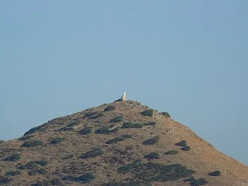 Nisís Ráftis Island, Attica5 km SE
-
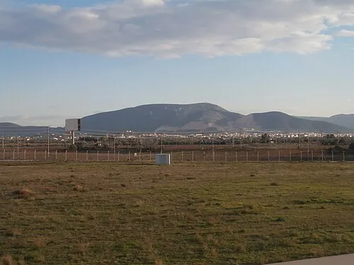 Merénta Mountain, Saronikos9 km SW
Sources & licences
Data last updated: · 2 independent sources