Archangelos
Local name: Αρχάγγελος
Located in Rhodes, Dodecanese Coordinates: 36°12′54″ N 28°06′54″ E
- Population
- 7,786
- 7.8K
- Elevation
- 163 m
- above sea level
- Local time
- UTC+02:00
- Europe/Athens · UTC+02:00
- Airports
- RHO Rhodes International Airport "Diagoras"21 km
- DLM Dalaman International Airport82 km
About Archangelos
Archangelos is a town. Location: Rhodes, Dodecanese. Population: 7,786. Elevation: 163 m.
Archangelos (Greek: Αρχάγγελος) is a town and a former municipality on the island of Rhodes, in the Dodecanese, Greece. Since the 2011 local government reform it is part of the municipality Rhodes, of which it is a municipal unit.
Source: Wikipedia · CC BY-SA 4.0
At a glance
- Area
- 115 km²
Source: Wikidata
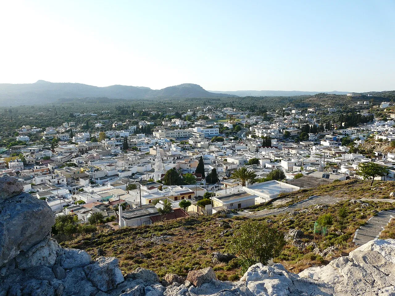
Photos of Archangelos
-

Manfred Werner · CC BY-SA 4.0 -

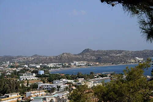
INDALOMANIA · CC BY-SA 3.0 -

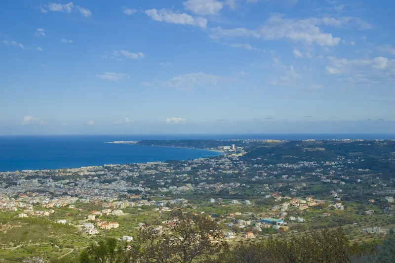
INDALOMANIA · CC BY-SA 3.0


Travel notes for Archangelos
From Wikivoyage
Archangelos (Arhangelos) is a town on the island of Rhodes, Greece. It is approximately mid way between Lindos in the south and Faliraki to the north. It is serviced by the highway running down the east coast of the island
A peaceful place perfect for families which travelling with children. Great hospitality from the locals which are ready to help you in any case.
Get in+
By car:
Around 33 km from Rhodes Old Town and around 27 km north of Lindos
By bus:
Rhodes Town—Arhangelos departs- 06:45, 08:00, 09:00, 10:00, 11:30, 13:00, 14:30, 15:00, 16:30, 18:00, 19:30, 21:15
Arhangelos—Rhodes Town departs - 06:20, 06:40*, 07:20, 08:00, 09:00, 10:00, 11:00, 11:20, 11:50, 12:35, 13:30, 15:00, 15:50, 16:50, 17:35,
18:20, 19:35,
Price: €3.00 1 way
Source: Wikivoyage · CC BY-SA 4.0 · abridged
Population of Archangelos over time
| 1951 | 2,588 | |
|---|---|---|
| 1991 | 5,228 | |
| 2001 | 5,501 | |
| 2011 | 5,384 | |
| 2021 | 5,371 |
Censuses and official estimates; source: Wikidata.
Climate of Archangelos
Best months for sightseeingBest months for sightseeing: April–May, October.
This month · November
A wet month
Day 19° · Night 13° · Rain 100 mm
- Hottest month
- July (day 31°)
- Coldest month
- February (night 8°)
- Wettest month
- January (156 mm)
- Driest month
- July (1 mm)
Bars: average monthly low and high temperature. Below: precipitation. Monthly averages for 1970–2000 at about 18 km resolution, adjusted for elevation. Highlighted months are mild and relatively dry. Source: WorldClim 2.1 (CC BY 4.0).
Show values as a table
| Month | Jan | Feb | Mar | Apr | May | Jun | Jul | Aug | Sep | Oct | Nov | Dec |
|---|---|---|---|---|---|---|---|---|---|---|---|---|
| Average high (°C) | 14° | 15° | 17° | 20° | 24° | 29° | 31° | 31° | 28° | 24° | 19° | 16° |
| Average low (°C) | 9° | 8° | 10° | 12° | 16° | 20° | 22° | 23° | 20° | 17° | 13° | 10° |
| Precipitation (mm) | 156 | 127 | 83 | 37 | 21 | 6 | 1 | 2 | 8 | 69 | 100 | 147 |
How to get to Archangelos
The nearest airport is Rhodes International Airport "Diagoras" (RHO), 21 km to the north as the crow flies. The nearest large city is Aydin, 183 km to the north.
Airports
- Rhodes International Airport "Diagoras" (RHO) Rhodes 21 kmnorth
- Dalaman International Airport (DLM) Dalaman 82 kmnortheast
- Kos International Airport "Ippokratis" (KGS) Kos Island 112 kmnorthwest
Nearby large cities
- Aydin Population: 163K 183 kmnorth
- Nazilli Population: 119.4K 190 kmnorth
- Denizli Population: 313.2K 193 kmnortheast
- Merkezefendi Population: 280.3K 195 kmnortheast
- Antalya Population: 1.3M 243 kmeast
Straight-line distances; road distances are longer. Airport data: OurAirports.
Day trips from Archangelos
Within 100 km: 20 historic and cultural sites, 169 natural sites, 134 lakes, rivers and coasts.
0–25 km4 places
- Pende Vtachi Island 17 kmS
- Vrachonisída tou Archangélou Island 3 kmSE
- Vrachonisída Exonísi Island 3 kmSE
- Pentánisia Island 16 kmS
25–60 km52 places
- Halki Island 49 kmW
- Taşlıca Adası Island 45 kmN
- Kargı Adası Island 55 kmN
- Topan Adası Island 56 kmN
60–100 km267 places
- Karaca Adası Island 83 kmN
- Küçük Ada Island 87 kmN
- Asmalı Tepe Mountain 74 kmN
- Honazbaşı Tepesi Mountain 68 kmN
Straight-line distances.
Nearby attractions & nature
Everything nearby-
Vrachonisída tou Archangélou Island, Dodecanese3.2 km SE
-
Vrachonisída Exonísi Island, Dodecanese3.4 km SE
-
Pende Vtachi Island, Rhodes17 km S
-
Pentánisia Island, Dodecanese16 km S
Other cities and towns in Rhodes
Sources & licences
Data last updated: · 2 independent sources