Faliraki
Local name: Φαληράκι
Located in Rhodes, Dodecanese Coordinates: 36°20′23″ N 28°11′58″ E
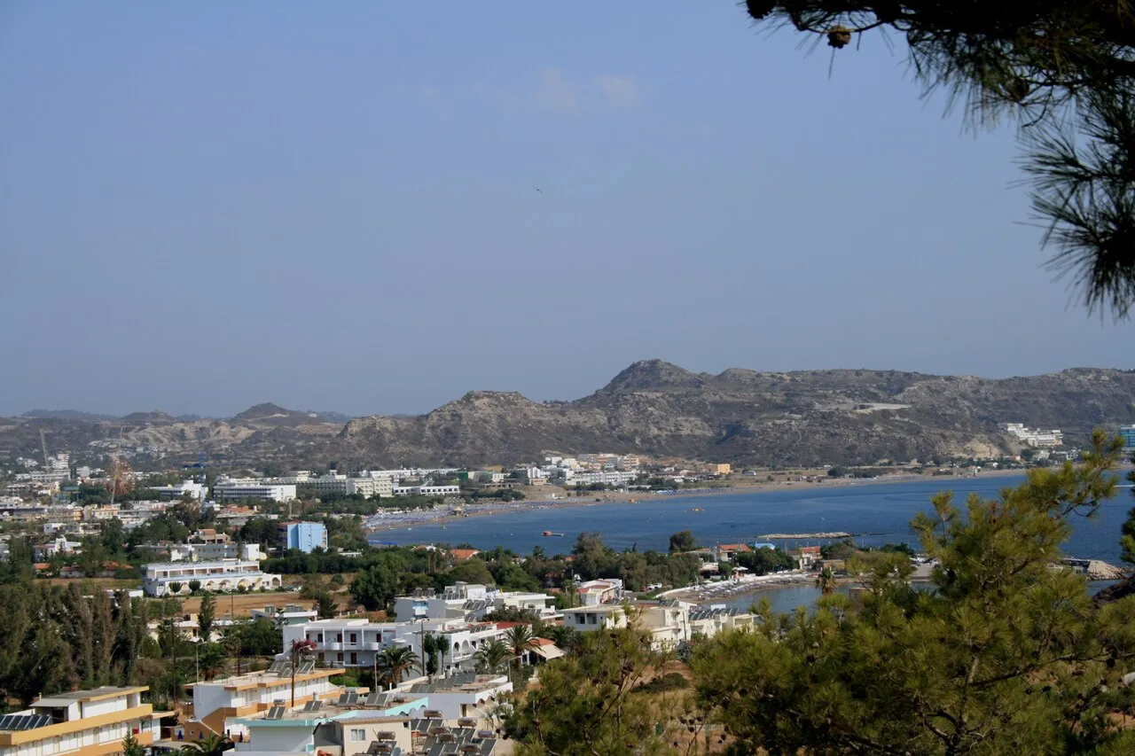
- Population
- 6,000
- 6K
- Elevation
- 12 m
- above sea level
- Local time
- UTC+02:00
- Europe/Athens · UTC+02:00
- Airports
- RHO Rhodes International Airport "Diagoras"12 km
- DLM Dalaman International Airport67 km
About Faliraki
Faliraki is a town. Location: Rhodes, Dodecanese. Population: 6,000. Elevation: 12 m.
Faliraki (Greek: Φαληράκι) is the primary seaside resort village on the Greek island of Rhodes, in the Dodecanese. It is situated on Faliraki Bay, on the northeastern coast, about 14 km south of the town of Rhodes and 10 km southeast of the airport. It is part of the municipal unit Kallithea.
Source: Wikipedia · CC BY-SA 4.0
Photos of Faliraki
-

Vítězslav Šarina · CC BY 3.0 -

Vítězslav Šarina · CC BY 3.0 -

Liutauras Dirse · CC BY-SA 3.0 -

Liutauras Dirse · CC BY-SA 3.0 -

Böhringer Friedrich · CC BY-SA 2.5


Travel notes for Faliraki
From Wikivoyage
Faliraki is the site of one of the most beautiful beaches in Rhodes and is a great choice for anyone who wants a sun and sand holiday complete with lots of bright lights and action.
The resort centre is as buzzing as the beach at night, the place gives you every opportunity to dance and party with a wealth of pubs, discos, music-bars and clubs.
Kalithea has a hilly backdrop with a cove offering a range of watersports, but if you are looking for a good stretch of beach you will find some 3 km away.
A nearby water park also makes for a great day out.
There are a few bars and restaurants, however most head for Faliraki for more lively action.
Get in+
By taxi:
It takes 15 min from Rhodes Ferry terminal to Faliraki center, the price is around €20.
By bus:
The bus is €2 per person but it takes 35 min and also you have to walk a few minutes to the bus stop.
By car:
Rent a car €15-55 per day depending on time of year,
By motorbike:
Rent a moto for €25-35 per day.
Source: Wikivoyage · CC BY-SA 4.0 · abridged
Population of Faliraki over time
| 1991 | 662 | |
|---|---|---|
| 2001 | 1,336 | |
| 2011 | 1,996 | |
| 2021 | 1,520 |
Censuses and official estimates; source: Wikidata.
Climate of Faliraki
Best months for sightseeingBest months for sightseeing: April–May, October.
This month · November
A wet month
Day 20° · Night 14° · Rain 107 mm
- Hottest month
- July (day 31°)
- Coldest month
- February (night 9°)
- Wettest month
- January (159 mm)
- Driest month
- July (1 mm)
Bars: average monthly low and high temperature. Below: precipitation. Monthly averages for 1970–2000 at about 18 km resolution, adjusted for elevation. Highlighted months are mild and relatively dry. Source: WorldClim 2.1 (CC BY 4.0).
Show values as a table
| Month | Jan | Feb | Mar | Apr | May | Jun | Jul | Aug | Sep | Oct | Nov | Dec |
|---|---|---|---|---|---|---|---|---|---|---|---|---|
| Average high (°C) | 15° | 15° | 17° | 21° | 25° | 29° | 31° | 31° | 29° | 25° | 20° | 17° |
| Average low (°C) | 10° | 9° | 10° | 13° | 16° | 20° | 23° | 23° | 21° | 17° | 14° | 11° |
| Precipitation (mm) | 159 | 129 | 82 | 35 | 20 | 6 | 1 | 2 | 7 | 72 | 107 | 154 |
How to get to Faliraki
The nearest airport is Rhodes International Airport "Diagoras" (RHO), 12 km to the northwest as the crow flies. The nearest large city is Aydin, 170 km to the north.
Airports
- Rhodes International Airport "Diagoras" (RHO) Rhodes 12 kmnorthwest
- Dalaman International Airport (DLM) Dalaman 67 kmnortheast
- Kos International Airport "Ippokratis" (KGS) Kos Island 111 kmnorthwest
Nearby large cities
- Aydin Population: 163K 170 kmnorth
- Nazilli Population: 119.4K 175 kmnorth
- Denizli Population: 313.2K 178 kmnortheast
- Merkezefendi Population: 280.3K 179 kmnortheast
- Antalya Population: 1.3M 232 kmeast
Straight-line distances; road distances are longer. Airport data: OurAirports.
Day trips from Faliraki
Within 100 km: 23 historic and cultural sites, 202 natural sites, 148 lakes, rivers and coasts.
0–25 km2 places
- Vrachonisída Exonísi Island 16 kmS
- Vrachonisída tou Archangélou Island 16 kmS
25–60 km136 places
- Karaincir Adaları Island 59 kmNW
- Sarıliman Adası Island 58 kmNW
- Yağlıdağar Dağı Mountain 56 kmNW
- Bağlıca Tepesi Mountain 58 kmNW
60–100 km235 places
- Uğurca Dağı Mountain 70 kmN
- Mengeç Dağı Mountain 83 kmNE
- Kara Dağı Mountain 61 kmN
- Balan Dağı Mountain 62 kmN
Straight-line distances.
Nearby attractions & nature
Everything nearby-
Vrachonisída Exonísi Island, Dodecanese16 km S
-
Vrachonisída tou Archangélou Island, Dodecanese16 km S
Other cities and towns in Rhodes
-
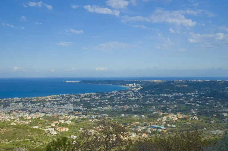 Ialysos Town, Rhodes9.1 km NW
-
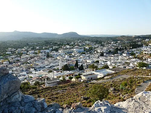 Archangelos Town, Rhodes16 km SW
Sources & licences
Data last updated: · 2 independent sources