Alsótelekes
Located in Borsod-Abauj Zemplen county, Hungary Coordinates: 48°25′00″ N 20°40′00″ E
- Population
- 148
- 148
- Elevation
- 293 m
- above sea level
- Local time
- UTC+01:00
- Europe/Budapest · UTC+01:00
- Airports
- KSC Košice International Airport50 km
- TAT Poprad-Tatry Airport79 km
About Alsótelekes
Alsótelekes is a village. Location: Borsod-Abauj Zemplen county, Hungary. Population: 148. Elevation: 293 m. The best months to visit are May–September. The nearest airport is Košice International Airport (50 km). Nearby sights include Szendrő Ghetto and Boroska.
Climate of Alsótelekes
Best months for sightseeingBest months for sightseeing: May–September.
This month · November
A cold month
Day 6° · Night -1° · Rain 39 mm
- Hottest month
- July (day 25°)
- Coldest month
- January (night -6°)
- Wettest month
- June (80 mm)
- Driest month
- February (23 mm)
Bars: average monthly low and high temperature. Below: precipitation. Monthly averages for 1970–2000 at about 18 km resolution, adjusted for elevation. Highlighted months are mild and relatively dry. Source: WorldClim 2.1 (CC BY 4.0).
Show values as a table
| Month | Jan | Feb | Mar | Apr | May | Jun | Jul | Aug | Sep | Oct | Nov | Dec |
|---|---|---|---|---|---|---|---|---|---|---|---|---|
| Average high (°C) | 0° | 3° | 9° | 15° | 20° | 23° | 25° | 24° | 20° | 14° | 6° | 1° |
| Average low (°C) | -6° | -5° | -1° | 4° | 8° | 12° | 13° | 12° | 9° | 4° | -1° | -4° |
| Precipitation (mm) | 24 | 23 | 25 | 43 | 62 | 80 | 68 | 62 | 45 | 38 | 39 | 30 |
Other places to visit in this season: May June July August September
How to get to Alsótelekes
The nearest airport is Košice International Airport (KSC), 50 km to the northeast as the crow flies. The nearest large city is Miskolc, 36 km to the south.
Airports
- Košice International Airport (KSC) Košice 50 kmnortheast
- Poprad-Tatry Airport (TAT) Poprad 79 kmnorthwest
- Sliač Airport (SLD) Sliač 116 kmwest
Nearby large cities
- Miskolc Population: 154.5K 36 kmsouth
- Košice Population: 225K 55 kmnortheast
- Nyíregyháza Population: 117.7K 93 kmsoutheast
- Debrecen Population: 202.4K 122 kmsoutheast
- Satu Mare Population: 112.5K 177 kmeast
Straight-line distances; road distances are longer. Airport data: OurAirports.
Day trips from Alsótelekes
Within 100 km: 23 historic and cultural sites, 73 natural sites, 13 lakes, rivers and coasts.
0–25 km8 places
- Cherekhat Mountain 25 kmE
- Cibere Mountain 25 kmE
- Boroska Mountain 10 kmNE
- Cserehát Mountain 14 kmSE
25–60 km21 places
- Slovenské Rudohorie Mountain 44 kmNW
- Torysa River 57 kmNE
- Rimava River 29 kmSW
- Ida River 28 kmNE
60–100 km80 places
- Skalnaté pleso Lake 92 kmN
- Popradské Pleso Lake 93 kmNW
- Ostrá Mountain 96 kmNW
- Vysoká Mountain 94 kmNW
Straight-line distances.
Nearby attractions & nature
Everything nearby-
Szendrő Ghetto Historic site, Borsod-Abauj Zemplen county5.3 km E
-
Boroska Mountain, Borsod-Abauj Zemplen county9.6 km NE
-
Edelény Ghetto Historic site, Borsod-Abauj Zemplen county15 km S
-
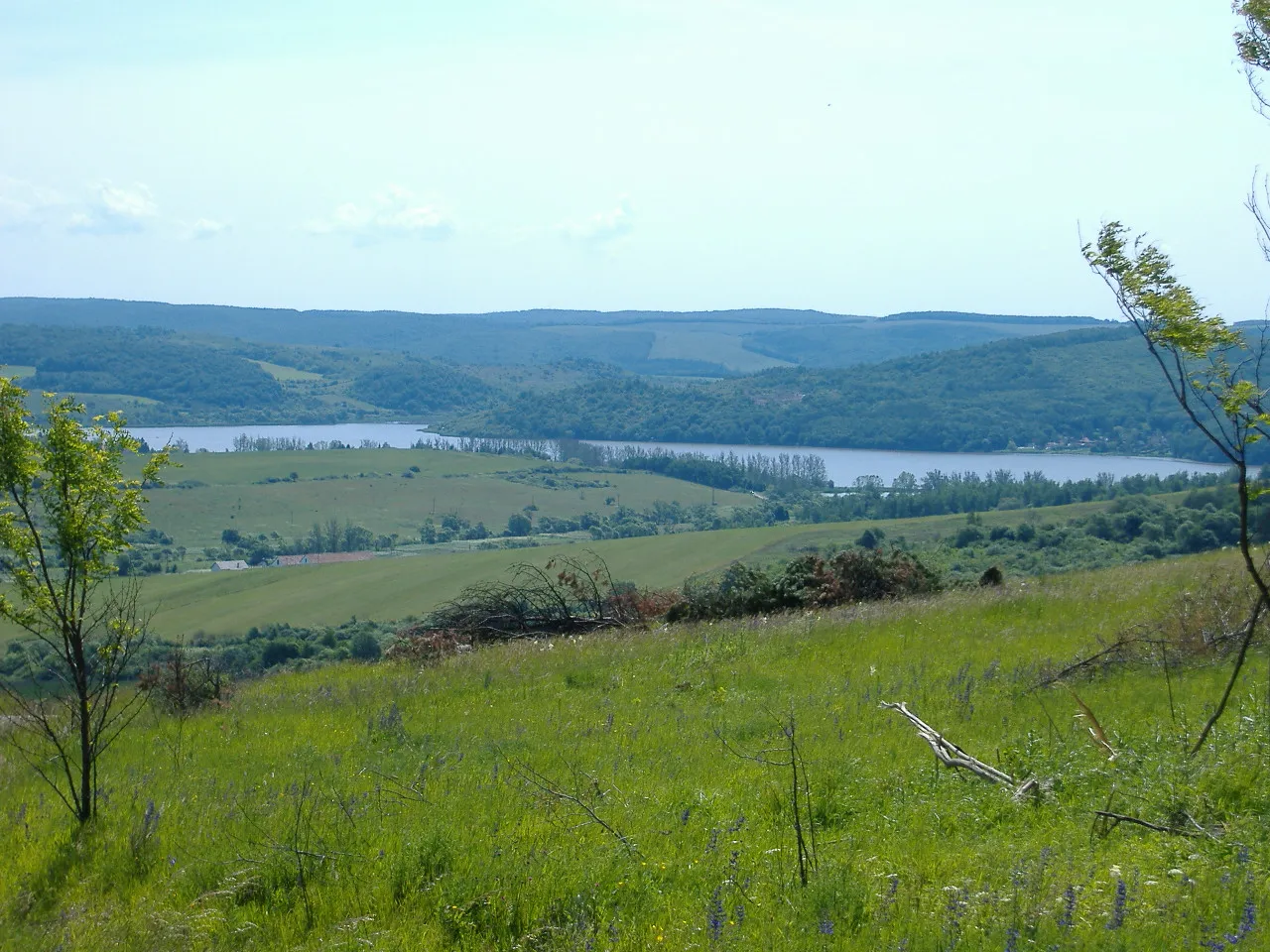 Cherekhat Mountain, Borsod-Abauj Zemplen county25 km E
-
Cibere Mountain, Borsod-Abauj Zemplen county25 km E
-
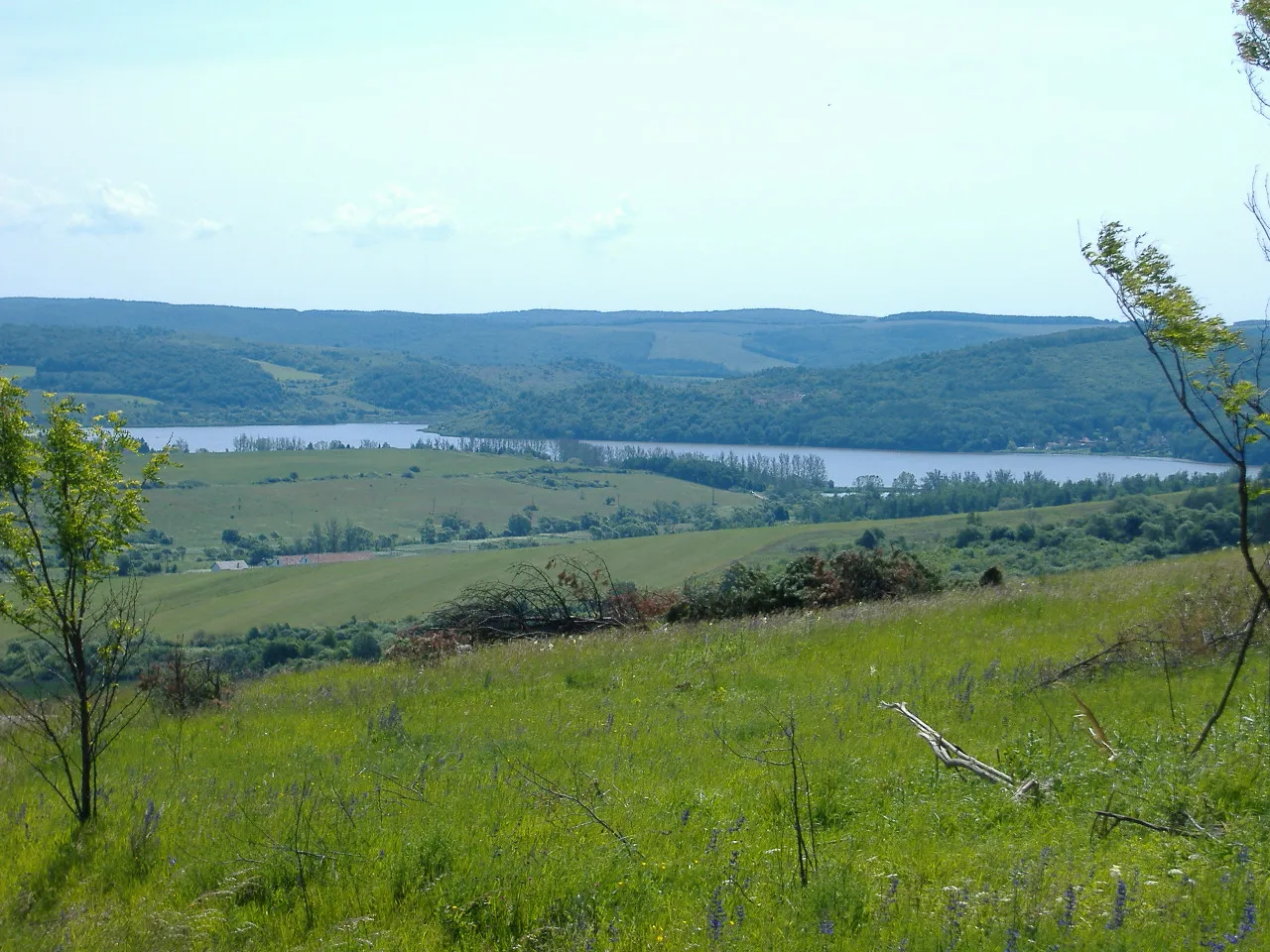 Cserehát Mountain, Lak14 km SE
Sources & licences
Data last updated: