Sajószentpéter
Located in Borsod-Abauj Zemplen county, Hungary Coordinates: 48°13′00″ N 20°43′00″ E
- Population
- 11,679
- 11.7K
- Elevation
- 125 m
- above sea level
- Local time
- UTC+01:00
- Europe/Budapest · UTC+01:00
- Airports
- KSC Košice International Airport63 km
- TAT Poprad-Tatry Airport101 km
About Sajószentpéter
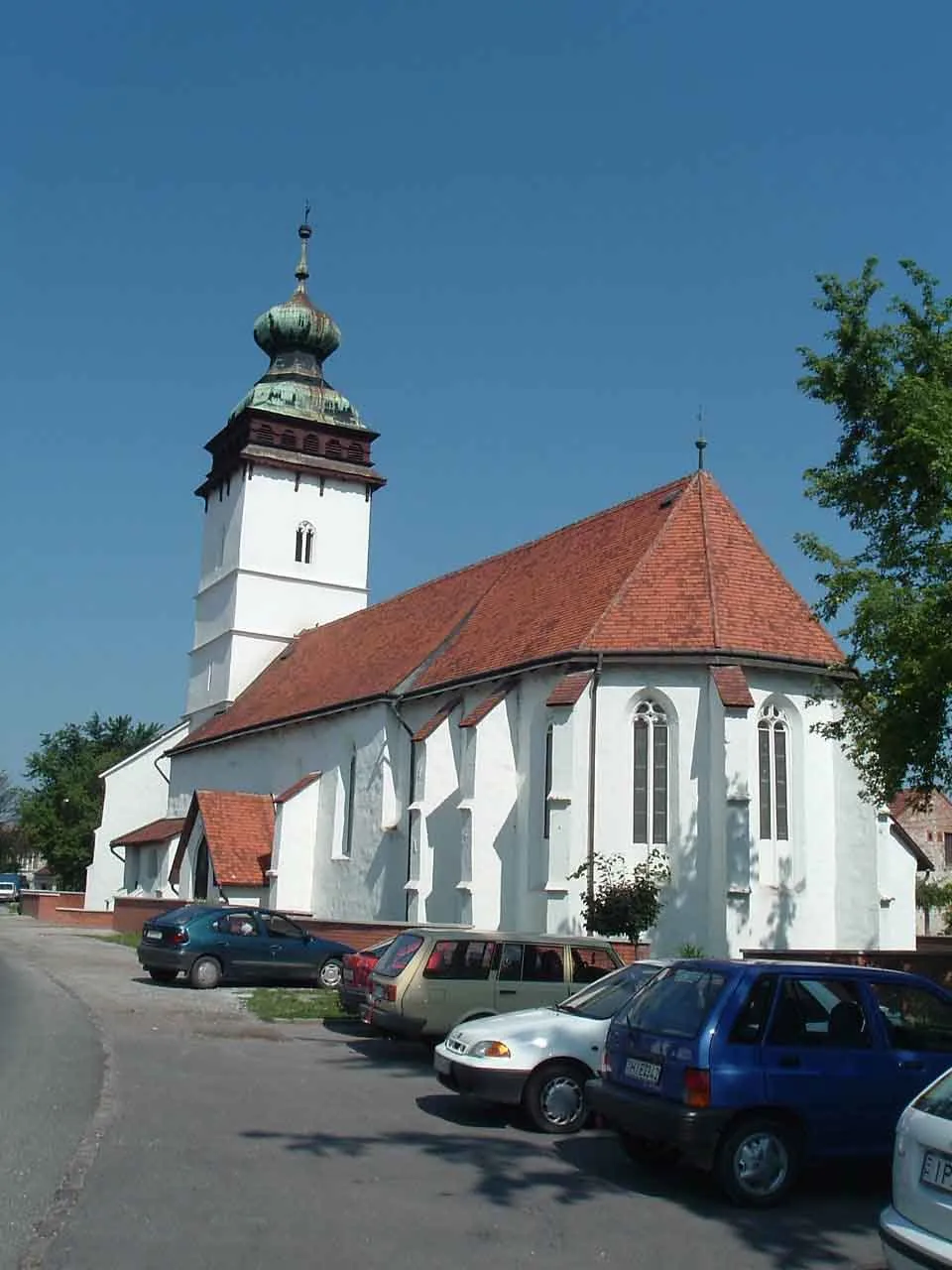
Sajószentpéter is a town. Location: Borsod-Abauj Zemplen county, Hungary. Population: 11,679. Elevation: 125 m.
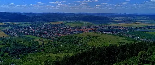
Sajószentpéter (German: Sankt Peter; Latin: Villa Sancti Petri) is a town in Borsod-Abaúj-Zemplén County, Northern Hungary. It lies in the Miskolc–Kazincbarcika agglomeration, 10 kilometres away from the county capital.
Source: Wikipedia · CC BY-SA 4.0
Population of Sajószentpéter over time
| 2013 | 12,034 | |
|---|---|---|
| 2014 | 11,850 | |
| 2015 | 11,679 | |
| 2021 | 10,983 | |
| 2022 | 11,209 | |
| 2023 | 11,274 | |
| 2024 | 11,251 | |
| 2025 | 11,185 | |
| 2026 | 10,992 |
Censuses and official estimates; source: Wikidata.
Climate of Sajószentpéter
Best months for sightseeingBest months for sightseeing: May–September.
This month · November
A cold month
Day 7° · Night 0° · Rain 38 mm
- Hottest month
- July (day 26°)
- Coldest month
- January (night -5°)
- Wettest month
- June (77 mm)
- Driest month
- January (23 mm)
Bars: average monthly low and high temperature. Below: precipitation. Monthly averages for 1970–2000 at about 18 km resolution, adjusted for elevation. Highlighted months are mild and relatively dry. Source: WorldClim 2.1 (CC BY 4.0).
Show values as a table
| Month | Jan | Feb | Mar | Apr | May | Jun | Jul | Aug | Sep | Oct | Nov | Dec |
|---|---|---|---|---|---|---|---|---|---|---|---|---|
| Average high (°C) | 1° | 4° | 10° | 16° | 22° | 24° | 26° | 26° | 21° | 15° | 7° | 2° |
| Average low (°C) | -5° | -4° | 0° | 5° | 10° | 13° | 14° | 14° | 9° | 5° | 0° | -3° |
| Precipitation (mm) | 23 | 23 | 24 | 42 | 59 | 77 | 65 | 60 | 44 | 37 | 38 | 30 |
Other places to visit in this season: May June July August September
How to get to Sajószentpéter
The nearest airport is Košice International Airport (KSC), 63 km to the northeast as the crow flies. For international flights: Debrecen International Airport (DEB) (105 km). The nearest large city is Miskolc, 13 km to the south.
Airports
- Košice International Airport (KSC) Košice 63 kmnortheast
- Poprad-Tatry Airport (TAT) Poprad 101 kmnorth
- Debrecen International Airport (DEB) Debrecen 105 kmsoutheast
Nearby large cities
- Miskolc Population: 154.5K 13 kmsouth
- Nyíregyháza Population: 117.7K 80 kmeast
- Debrecen Population: 202.4K 102 kmsoutheast
- Oradea Population: 183.1K 158 kmsoutheast
- Kecskemét Population: 109.8K 165 kmsouthwest
Straight-line distances; road distances are longer. Airport data: OurAirports.
Nearby attractions & nature
Everything nearby-
Sajószentpéter Ghetto Historic site, Borsod-Abauj Zemplen county0.6 km NW
-
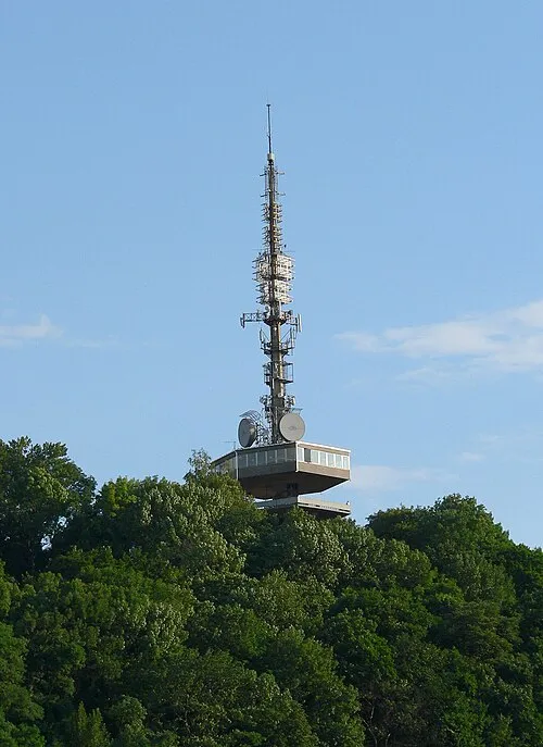 Avas Mountain, Hungary14 km S
-
Edelény Ghetto Historic site, Borsod-Abauj Zemplen county8.7 km N
-
Miskolc Ghetto Historic site, Borsod-Abauj Zemplen county14 km S
-
Gulicska Mountain, Hungary14 km S
-
Diósgyőr Ghetto Historic site, Borsod-Abauj Zemplen county13 km S
-
Varnyas Mountain, Borsod-Abauj Zemplen county25 km S
-
Szendrő Ghetto Historic site, Borsod-Abauj Zemplen county20 km N
Other cities and towns in Borsod-Abauj Zemplen county
-
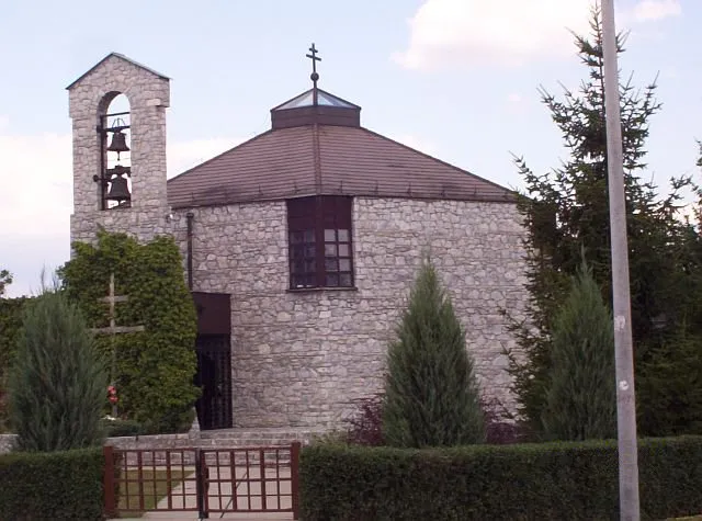 Edelény City, Borsod-Abauj Zemplen county9.3 km N
-
Miskolc City, Borsod-Abauj Zemplen county13 km S
-
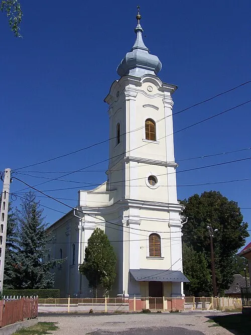 Alsózsolca Town, Borsod-Abauj Zemplen county20 km SE
-
 Putnok City, Borsod-Abauj Zemplen county23 km NW
-
Martin Kertváros Town, Borsod-Abauj Zemplen county16 km SE
-
Felsőzsolca Town, Borsod-Abauj Zemplen county17 km SE
Sources & licences
Data last updated: · 2 independent sources