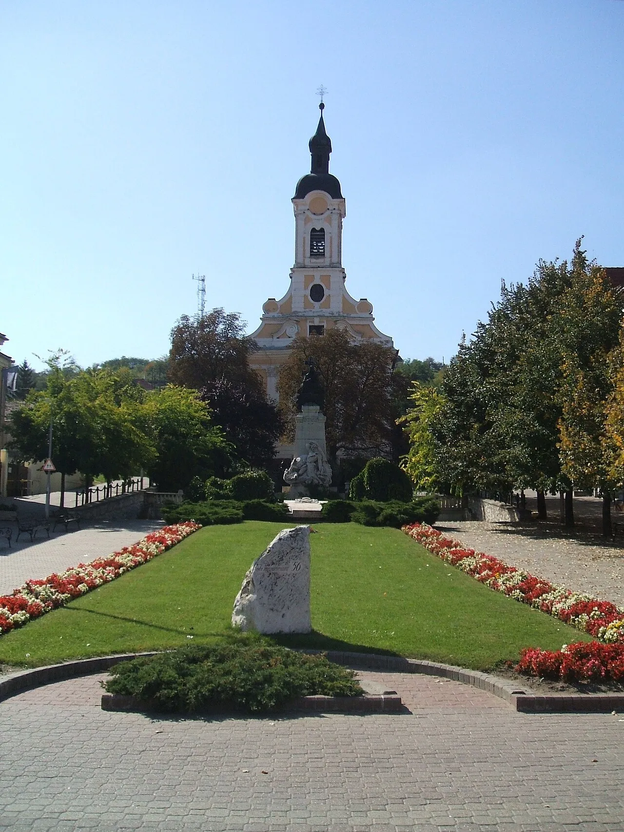
- Population
- 12,658
- 12.7K
- Elevation
- 129 m
- above sea level
- Local time
- UTC+01:00
- Europe/Budapest · UTC+01:00
- Airports
- BUD Budapest Liszt Ferenc International Airport51 km
- SLD Sliač Airport106 km
About Dorog
Dorog is a town. Location: Esztergomi Járás, Komárom-Esztergom. Population: 12,658. Elevation: 129 m.
Dorog (German: Drostdorf) is a small town in Komárom-Esztergom County, Hungary. It lies 38 km (24 mi) north-west from the center of Budapest.
Source: Wikipedia · CC BY-SA 4.0
Photos of Dorog
-

Christo · CC0 -

Christo · CC0 -

Christo · CC0


Places bordering Dorog
- Esztergom
Population of Dorog over time
| 2013 | 11,905 | |
|---|---|---|
| 2014 | 11,870 | |
| 2015 | 11,883 | |
| 2021 | 11,225 | |
| 2022 | 11,379 | |
| 2023 | 11,424 | |
| 2024 | 11,423 | |
| 2025 | 11,272 | |
| 2026 | 11,226 |
Censuses and official estimates; source: Wikidata.
Climate of Dorog
Best months for sightseeingBest months for sightseeing: May–September.
This month · November
A cold month
Day 8° · Night 2° · Rain 53 mm
- Hottest month
- July (day 27°)
- Coldest month
- January (night -3°)
- Wettest month
- June (62 mm)
- Driest month
- February (29 mm)
Bars: average monthly low and high temperature. Below: precipitation. Monthly averages for 1970–2000 at about 18 km resolution, adjusted for elevation. Highlighted months are mild and relatively dry. Source: WorldClim 2.1 (CC BY 4.0).
Show values as a table
| Month | Jan | Feb | Mar | Apr | May | Jun | Jul | Aug | Sep | Oct | Nov | Dec |
|---|---|---|---|---|---|---|---|---|---|---|---|---|
| Average high (°C) | 3° | 6° | 11° | 17° | 22° | 25° | 27° | 27° | 22° | 16° | 8° | 4° |
| Average low (°C) | -3° | -2° | 2° | 6° | 11° | 14° | 16° | 15° | 11° | 6° | 2° | -2° |
| Precipitation (mm) | 34 | 29 | 31 | 44 | 60 | 62 | 53 | 53 | 45 | 41 | 53 | 43 |
Other places to visit in this season: May June July August September
How to get to Dorog
The nearest airport is Budapest Liszt Ferenc International Airport (BUD), 51 km to the southeast as the crow flies. The nearest large city is Székesfehérvár, 64 km to the southwest.
Airports
- Budapest Liszt Ferenc International Airport (BUD) Budapest 51 kmsoutheast
- Sliač Airport (SLD) Sliač 106 kmnorth
- M. R. Štefánik Airport (BTS) Bratislava 124 kmnorthwest
Nearby large cities
- Székesfehérvár Population: 101.6K 64 kmsouthwest
- Győr Population: 129.3K 83 kmwest
- Kecskemét Population: 109.8K 116 kmsoutheast
- Bratislava Population: 423.7K 131 kmwest
- Miskolc Population: 154.5K 158 kmeast
Straight-line distances; road distances are longer. Airport data: OurAirports.
Day trips from Dorog
Within 100 km: 54 historic and cultural sites, 36 natural sites, 10 lakes, rivers and coasts.
0–25 km8 places
- Hron River 11 kmN
- Sziklafal Mountain 24 kmSE
- Sibrik Mountain 20 kmNE
- Remete-hegy Mountain 22 kmSE
25–60 km52 places
- Margaret Island Island 32 kmSE
- Leányvár Historic site 40 kmW
- Žitava River 48 kmW
- Váh River 58 kmW
60–100 km40 places
- Tríbeč Mountain 86 kmNW
- Ostrov Island 91 kmW
- Pohronský Inovec Mountain 82 kmN
- Túzokos Védett Terület Natural site 62 kmW
Straight-line distances.
Nearby attractions & nature
Everything nearby-
Párkány Ghetto Historic site, Komárom-Esztergom8.8 km N
-
Esztergom Ghetto Historic site, Komárom-Esztergom8.8 km N
-
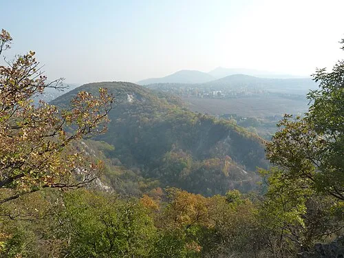 Remete-hegy Mountain, Pest County22 km SE
-
Pisznice Mountain, Komárom-Esztergom18 km W
-
Sibrik Mountain, Pest County20 km NE
-
Hegyesd Mountain, Pest County24 km E
-
Sziklafal Mountain, Pest County24 km SE
Sources & licences
Data last updated: · 2 independent sources