- Population
- 23,606
- 23.6K
- Elevation
- 119 m
- above sea level
- Local time
- UTC+01:00
- Europe/Budapest · UTC+01:00
- Airports
- BUD Budapest Liszt Ferenc International Airport30 km
- SLD Sliač Airport108 km
About Szentendre
Szentendre is a city. Location: Szentendrei Járás, Pest County. Population: 23,606. Elevation: 119 m.
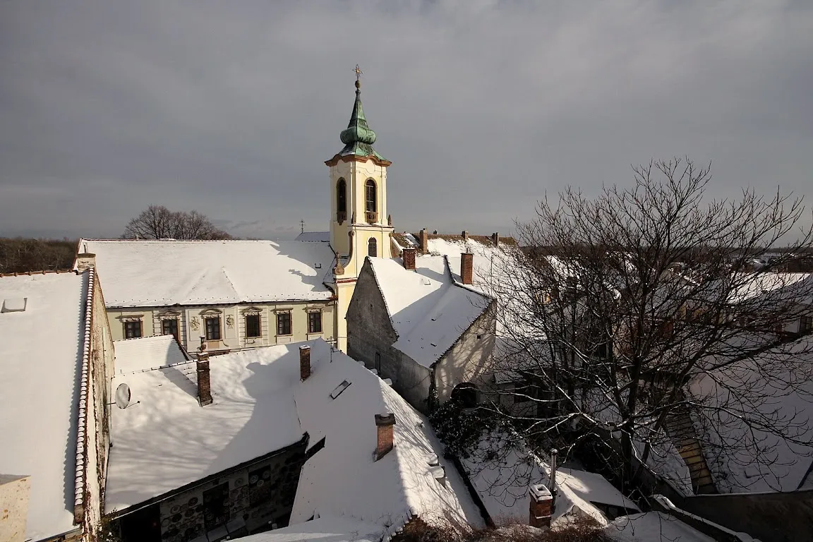
Szentendre, also known as Saint Andrew, is a riverside town in Pest County, Hungary, between the capital city Budapest and Pilis-Visegrád Mountains. The town is known for its museums (most notably the Hungarian Open-air Museum), galleries, and artists. Due to its historic architecture along with easy accessibility via rail and river, it has become a destination for tourists staying in Budapest. There are many facilities, including souvenir shops and restaurants, catering to these visitors.
Source: Wikipedia · CC BY-SA 4.0
Photos of Szentendre
-

Aktron · CC BY-SA 4.0 -

Aktron · CC BY-SA 4.0 -

Jakub Hałun · CC BY-SA 4.0 -

Kapeter77 · CC BY-SA 4.0 -

Kapeter77 · CC BY-SA 4.0


Travel notes for Szentendre
From Wikivoyage
Szentendre (Serbian: Сентандреја, Croatian: Senandrija, Ancient Latin: Ulcisia Castra) is a town in the Danube Bend region, on the right (western) bank of the Danube, 19 km north of Budapest.
Understand+
This charming little town, whose name means "Saint Andrew", is known for its well-preserved houses and churches, many built in a Balkan style as the area had been settled by Serb refugees.
Today the town's best-known inhabitants are artists, and small galleries can be found on every street corner.
Get in+
By train:
1 Szentendre Suburban Train Station (HÉV-végállomás), Dózsa György út 1-3 (Next to Bus station. South of Old Town), ☏ +36 26 311427, fax: +36 26 311-427, sandori@bkv.hu. Szentendre is not on the state railway lines. The only train connection is the HÉV, Budapest's suburban railway. Szentendre is easily reached on the H5 HÉV suburban railway line from Batthyány tér (on the "Piros Metro", M2 red subway line) in Budapest. Trains leave every 10-30 minutes and take 40 minutes to reach the town. There is a bicycle storage. Timetable here
In winter time, it's quite warm in the middle of the carriage, but may be chilly if you sit near the doors.
You can get on board with a regular BKV ticket or pass in Budapest, which is valid to the city limit. Once the train leaves Budapest, the on-board conductor sells you the "extension" ticket for Ft 310 each, one way. You must purchase a ticket in advance, on a vending machine, otherwise you will be fined. There is no on-board selling.
Every second H5 train from Budapest only goes halfway, to Bekasmegyer. You can either wait for the next one or take it to Bekasmegyer and wait for the next train there.
Other notable places to get on the H5 train are Margit bridge Buda side (from 4-6 tram) and Arpad bridge Buda side (tram line 1).
By bus:
2 Szentendre bus station (Autobusz pályaudvar Volánbusz Közlekedési Rt.), Dózsa György út 5/7 (Next to HÉV terminal), ☏ +36 26 311-996, fax: +36 26 311-996, sandor.toth@volanbusz.hu. Cash desk: Mon-Fri 1st to 8th day of each month 06:30-18:30, 9th to 31st 06:00-17:00; all Sat Sun 07:00-14:00. Buses leave daily from Budapest's Újpest-Városkapu bus station (on the Metro blue line) and take about 25-30 minutes to arrive. There are also direct bus connections from other towns on the Danube bend. Esztergom is about an hour and a half and Visegrád is about 45 minutes away. Timetable here. (updated Sep 2019)
By boat:
Source: Wikivoyage · CC BY-SA 4.0 · abridged
Places bordering Szentendre
- Pomáz
Population of Szentendre over time
| 1990 | 19,351 | |
|---|---|---|
| 2001 | 22,747 | |
| 2011 | 25,310 | |
| 2013 | 25,274 | |
| 2014 | 25,324 | |
| 2018 | 26,447 | |
| 2019 | 26,745 | |
| 2022 | 28,524 | |
| 2023 | 28,494 | |
| 2024 | 28,444 | |
| 2025 | 28,483 | |
| 2026 | 28,433 |
Censuses and official estimates; source: Wikidata.
Climate of Szentendre
Best months for sightseeingBest months for sightseeing: May–September.
This month · November
A cold month
Day 8° · Night 2° · Rain 53 mm
- Hottest month
- July (day 27°)
- Coldest month
- January (night -3°)
- Wettest month
- June (63 mm)
- Driest month
- February (29 mm)
Bars: average monthly low and high temperature. Below: precipitation. Monthly averages for 1970–2000 at about 18 km resolution, adjusted for elevation. Highlighted months are mild and relatively dry. Source: WorldClim 2.1 (CC BY 4.0).
Show values as a table
| Month | Jan | Feb | Mar | Apr | May | Jun | Jul | Aug | Sep | Oct | Nov | Dec |
|---|---|---|---|---|---|---|---|---|---|---|---|---|
| Average high (°C) | 3° | 5° | 11° | 17° | 22° | 25° | 27° | 27° | 21° | 15° | 8° | 4° |
| Average low (°C) | -3° | -2° | 2° | 6° | 11° | 14° | 16° | 15° | 11° | 6° | 2° | -2° |
| Precipitation (mm) | 34 | 29 | 31 | 45 | 62 | 63 | 52 | 51 | 44 | 41 | 53 | 42 |
Other places to visit in this season: May June July August September
How to get to Szentendre
The nearest airport is Budapest Liszt Ferenc International Airport (BUD), 30 km to the southeast as the crow flies. The nearest large city is Székesfehérvár, 73 km to the southwest.
Airports
- Budapest Liszt Ferenc International Airport (BUD) Budapest 30 kmsoutheast
- Sliač Airport (SLD) Sliač 108 kmnorth
- M. R. Štefánik Airport (BTS) Bratislava 150 kmnorthwest
Nearby large cities
- Székesfehérvár Population: 101.6K 73 kmsouthwest
- Kecskemét Population: 109.8K 97 kmsoutheast
- Győr Population: 129.3K 108 kmwest
- Miskolc Population: 154.5K 136 kmeast
- Bratislava Population: 423.7K 157 kmwest
Straight-line distances; road distances are longer. Airport data: OurAirports.
Day trips from Szentendre
Within 100 km: 59 historic and cultural sites, 35 natural sites, 8 lakes, rivers and coasts.
0–25 km27 places
- Margaret Island Island 16 kmS
- Sziklafal Mountain 20 kmSW
- Sibrik Mountain 16 kmNW
- Remete-hegy Mountain 16 kmSW
25–60 km33 places
- Krtíš River 50 kmN
- Hron River 30 kmNW
- Csepel Island Island 48 kmS
- Tagyos Mountain 60 kmW
60–100 km42 places
- Leányvár Historic site 66 kmW
- Pohronský Inovec Mountain 95 kmNW
- Túzokos Védett Terület Natural site 88 kmW
- Žitava River 74 kmW
Straight-line distances.
Nearby attractions & nature
Everything nearby-
Szentendre Ghetto Historic site, Pest County0.7 km SE
-
Békásmegyer Ghetto Historic site, Budapest8 km S
-
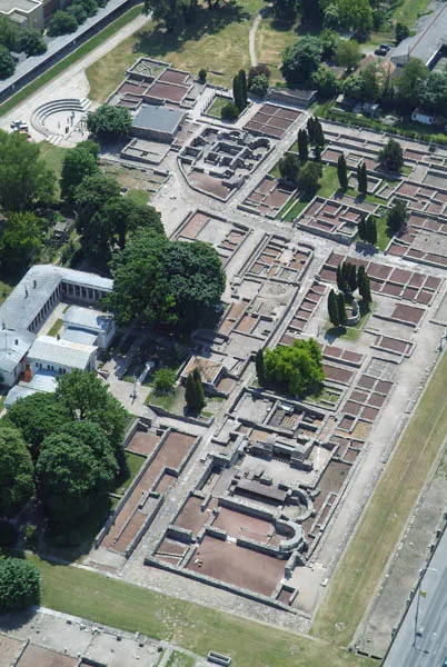 Aquincum Historic site, Budapest12 km S
-
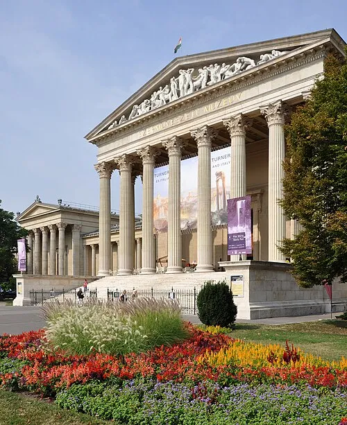 Museum of Fine Arts, Budapest Museum, Budapest17 km S
-
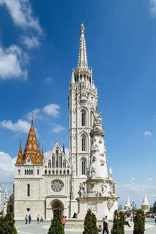 Matthias Church Attraction, Budapest19 km S
-
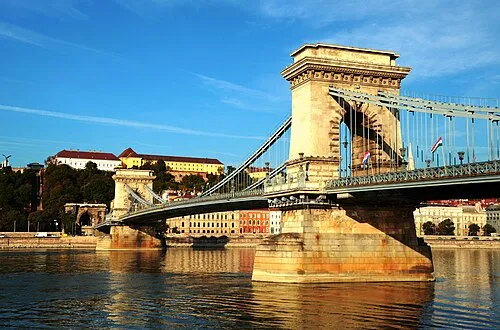 Széchenyi Chain Bridge Landmark, Budapest19 km S
-
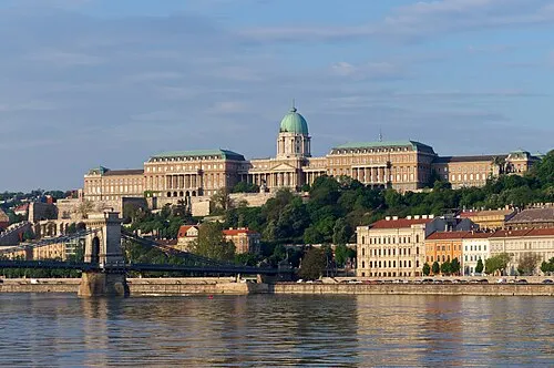 Buda Castle Historic site, Budapest19 km S
-
St. Stephen's Basilica Attraction, Budapest19 km S
Sources & licences
Data last updated: · 2 independent sources