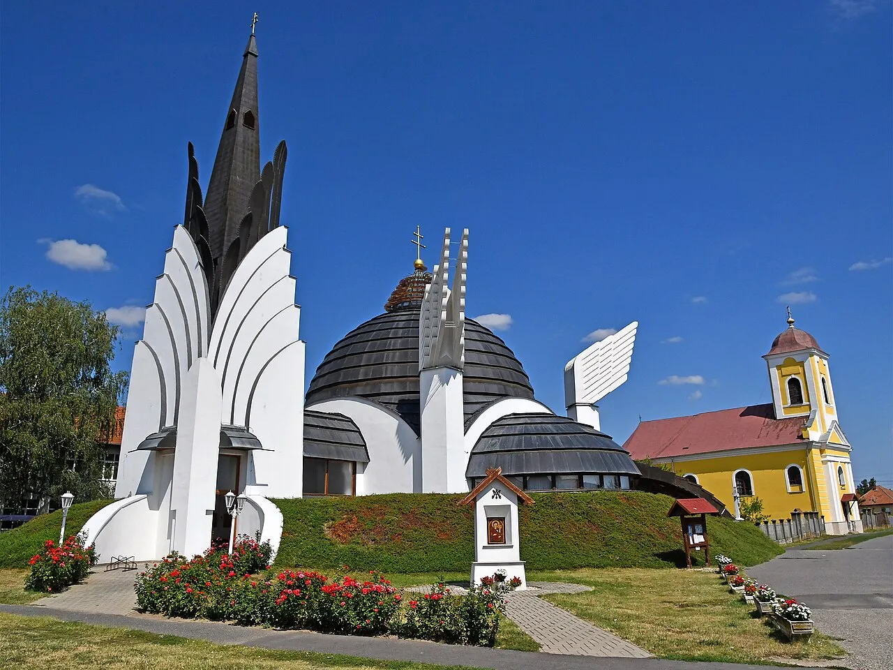
- Population
- 5,225
- 5.2K
- Elevation
- 120 m
- above sea level
- Local time
- UTC+01:00
- Europe/Budapest · UTC+01:00
- Airports
- SUJ Satu Mare International Airport21 km
- BAY Maramureș International Airport62 km
About Csenger
Csenger is a city. Location: Csengeri Járás, Szabolcs-Szatmár-Bereg. Population: 5,225. Elevation: 120 m.
Csenger is a town in Szabolcs-Szatmár-Bereg county, in the Northern Great Plain region of eastern Hungary. It is known for being the poorest town in Hungary. In 2023, the Hungarian Prison Service Headquarters announced that it is constructing a new prison in the town, with inmates producing metal and wooden furnishings for the new facility.
Source: Wikipedia · CC BY-SA 4.0
Photos of Csenger
-

Fortepan — ID 1243 : Adományozó/Donor: Fortepan. archive copy at the Wayback Machine · CC BY-SA 3.0 -

Fortepan — ID 92090 : Adományozó/Donor: UVATERV · CC BY-SA 3.0 -

Pongrácz Sándor at Hungarian Wikipedia · Public domain -

hu:Dencey · Public domain -

Szemes Elek · CC BY-SA 3.0


Travel notes for Csenger
From Wikivoyage
Csenger is a town in Szabolcs-Szatmár-Bereg County, on the border with Romania.
Understand+
Csenger is a settlement from the Árpád era. Its name was first mentioned in 1219. It was elevated to town status in 1989.
Get in+
By train:
Trains are available from Mátészalka two times a day. It takes one hour and costs 490 Ft. From Budapest you have to transfer in Debrecen and in Mátészalka. The whole journey from Budapest takes 5.5 hours and costs 5695 Ft.
1 Csenger Train Station, Bocskai utca 5, ☏ +36 1 349-4949, informacio@mav-start.hu. There is no ticket office, tickets can be purchased on the train. (updated Jan 2020)
By bus:
Buses from Mátészalka are available in every 1–2 hours. The journey takes one hour and costs 650 Ft–745 Ft.
2 Csenger Bus Station, Hősök tere 2, ☏ +36 44 520-034, info@volanbusz.hu. (updated Jan 2020)
Source: Wikivoyage · CC BY-SA 4.0 · abridged
Population of Csenger over time
| 2013 | 4,924 | |
|---|---|---|
| 2014 | 4,898 | |
| 2018 | 4,961 | |
| 2021 | 4,765 | |
| 2022 | 4,422 | |
| 2023 | 4,395 | |
| 2024 | 4,394 | |
| 2025 | 4,322 | |
| 2026 | 4,267 |
Censuses and official estimates; source: Wikidata.
Climate of Csenger
Best months for sightseeingBest months for sightseeing: May–September.
This month · November
A cold month
Day 8° · Night 1° · Rain 58 mm
- Hottest month
- July (day 26°)
- Coldest month
- January (night -5°)
- Wettest month
- June (90 mm)
- Driest month
- February (42 mm)
Bars: average monthly low and high temperature. Below: precipitation. Monthly averages for 1970–2000 at about 18 km resolution, adjusted for elevation. Highlighted months are mild and relatively dry. Source: WorldClim 2.1 (CC BY 4.0).
Show values as a table
| Month | Jan | Feb | Mar | Apr | May | Jun | Jul | Aug | Sep | Oct | Nov | Dec |
|---|---|---|---|---|---|---|---|---|---|---|---|---|
| Average high (°C) | 2° | 4° | 10° | 16° | 22° | 25° | 26° | 26° | 22° | 16° | 8° | 3° |
| Average low (°C) | -5° | -4° | 1° | 5° | 10° | 13° | 14° | 14° | 10° | 5° | 1° | -3° |
| Precipitation (mm) | 49 | 42 | 43 | 47 | 70 | 90 | 81 | 70 | 45 | 48 | 58 | 66 |
Other places to visit in this season: May June July August September
How to get to Csenger
The nearest airport is Satu Mare International Airport (SUJ), 21 km to the southeast as the crow flies. For international flights: Debrecen International Airport (DEB) (89 km). The nearest large city is Satu Mare, 14 km to the east.
Airports
- Satu Mare International Airport (SUJ) Satu Mare 21 kmsoutheast
- Maramureș International Airport (BAY) Tăuții-Măgherăuș 62 kmeast
- Debrecen International Airport (DEB) Debrecen 89 kmsouthwest
Nearby large cities
- Satu Mare Population: 112.5K 14 kmeast
- Baia Mare Population: 108.8K 69 kmeast
- Nyíregyháza Population: 117.7K 73 kmwest
- Debrecen Population: 202.4K 86 kmsouthwest
- Oradea Population: 183.1K 105 kmsouthwest
Straight-line distances; road distances are longer. Airport data: OurAirports.
Day trips from Csenger
Within 100 km: 16 historic and cultural sites, 19 natural sites, 4 lakes, rivers and coasts.
0–25 km2 places
- Nagykároly Ghetto Historic site 23 kmSW
- Satu Mare Ghetto Historic site 14 kmE
25–60 km5 places
- Valea Bârsăului Natural site 51 kmSE
- Nagytag Mountain 26 kmW
- Valea Asuajului Natural site 56 kmSE
- Halmeu Ghetto Historic site 30 kmNE
60–100 km32 places
- Ondava River 94 kmNW
- Laborec River 94 kmNW
- Valea Poenii Natural site 99 kmSE
- Valea Lazurilor Natural site 80 kmS
Straight-line distances.
Nearby attractions & nature
Everything nearby-
Satu Mare Ghetto Historic site, Municipiul Satu Mare14 km E
-
Nagykároly Ghetto Historic site, Municipiul Carei23 km SW
Sources & licences
Data last updated: · 2 independent sources