Szabolcs-Szatmár-Bereg
Local name: Szabolcs-Szatmár-Bereg megye
Located in Hungary Coordinates: 48°00′00″ N 22°10′00″ E
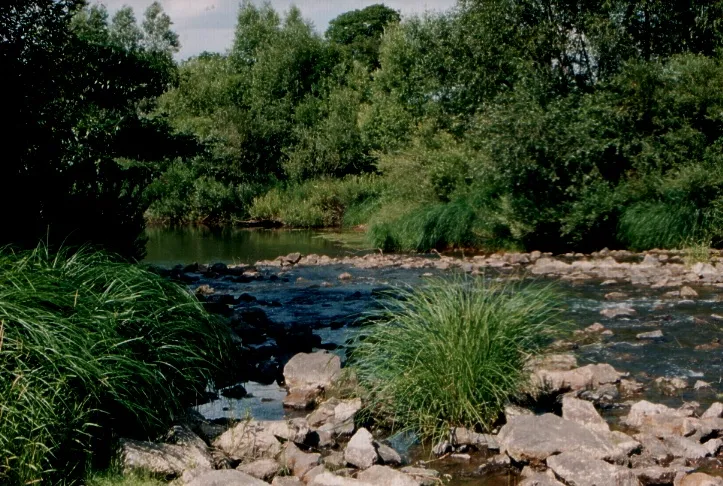
- Population
- 558,361
- 558.4K
- Elevation
- 137 m
- above sea level
- Local time
- UTC+01:00
- Europe/Budapest · UTC+01:00
- Places inside
- 120
- listed under Szabolcs-Szatmár-Bereg
- Airports
- SUJ Satu Mare International Airport63 km
- DEB Debrecen International Airport70 km
About Szabolcs-Szatmár-Bereg
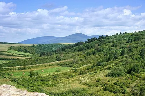
Szabolcs-Szatmár-Bereg is a region. Location: Hungary. Population: 558,361.
Szabolcs–Szatmár–Bereg (Hungarian: Szabolcs-Szatmár-Bereg megye, pronounced [ˈsɒbolt͡ʃ ˈsɒtmaːr ˈbɛrɛɡ]) is an administrative county (Hungarian: megye) in northeastern Hungary, bordering Slovakia (Košice Region), Ukraine (Zakarpattia Oblast), and Romania (Bihor and Satu Mare counties). It shares borders with the Hungarian counties Hajdú–Bihar and Borsod–Abaúj–Zemplén. The capital of Szabolcs–Szatmár–Bereg county is Nyíregyháza.
Source: Wikipedia · CC BY-SA 4.0
Travel notes for Szabolcs-Szatmár-Bereg
From Wikivoyage
Szabolcs-Szatmár-Bereg county is in Northern Great Plain.
Source: Wikivoyage · CC BY-SA 4.0 · abridged
Places bordering Szabolcs-Szatmár-Bereg
- Borsod-Abauj Zemplen county
- Hajdú-Bihar
- Satu Mare County
Climate of Szabolcs-Szatmár-Bereg
Best months for sightseeingBest months for sightseeing: May–September.
This month · November
A cold month
Day 8° · Night 0° · Rain 47 mm
- Hottest month
- July (day 26°)
- Coldest month
- January (night -5°)
- Wettest month
- June (75 mm)
- Driest month
- February (33 mm)
Bars: average monthly low and high temperature. Below: precipitation. Monthly averages for 1970–2000 at about 18 km resolution, adjusted for elevation. Highlighted months are mild and relatively dry. Source: WorldClim 2.1 (CC BY 4.0).
Show values as a table
| Month | Jan | Feb | Mar | Apr | May | Jun | Jul | Aug | Sep | Oct | Nov | Dec |
|---|---|---|---|---|---|---|---|---|---|---|---|---|
| Average high (°C) | 1° | 4° | 10° | 16° | 22° | 24° | 26° | 26° | 21° | 15° | 8° | 3° |
| Average low (°C) | -5° | -4° | 0° | 5° | 10° | 13° | 14° | 14° | 10° | 5° | 0° | -3° |
| Precipitation (mm) | 36 | 33 | 35 | 46 | 63 | 75 | 71 | 58 | 45 | 37 | 47 | 49 |
Other places to visit in this season: May June July August September
How to get to Szabolcs-Szatmár-Bereg
The nearest airport is Satu Mare International Airport (SUJ), 63 km to the southeast as the crow flies. For international flights: Debrecen International Airport (DEB) (70 km). The nearest large city is Nyíregyháza, 34 km to the west.
Airports
- Satu Mare International Airport (SUJ) Satu Mare 63 kmsoutheast
- Debrecen International Airport (DEB) Debrecen 70 kmsouthwest
- Košice International Airport (KSC) Košice 101 kmnorthwest
Nearby large cities
- Nyíregyháza Population: 117.7K 34 kmwest
- Satu Mare Population: 112.5K 57 kmsoutheast
- Debrecen Population: 202.4K 66 kmsouthwest
- Miskolc Population: 154.5K 104 kmwest
- Oradea Population: 183.1K 108 kmsouth
Straight-line distances; road distances are longer. Airport data: OurAirports.
Places in Szabolcs-Szatmár-Bereg
120 places- 61 Apagy 2.3K
- 62 Mérk 2.3K
- 63 Tarpa 2.3K
- 64 Nagydobos 2.3K
- 65 Nyírcsaholy 2.3K
- 66 Kántorjánosi 2.2K
- 67 Nyírtass 2.2K
- 68 Máriapócs 2.2K
- 69 Döge 2.2K
- 70 Aranyosapáti 2.1K
- 71 Nyírgyulaj 2.1K
- 72 Gégény 2.1K
- 73 Encsencs 2.1K
- 74 Kálmánháza 2.1K
- 75 Szamosszeg 2.1K
- 76 Gyulaháza 2.1K
- 77 Tiszabezdéd 2.1K
- 78 Tiszabercel 2K
- 79 Kék 2K
- 80 Ököritófülpös 2K
- 81 Anarcs 2K
- 82 Tiszanagyfalu 2K
- 83 Nyírmihálydi 2K
- 84 Petneháza 2K
- 85 Nyírvasvári 2K
- 86 Kisléta 1.9K
- 87 Nagycserkesz 1.9K
- 88 Sóstófürdő 1.8K
- 89 Pap 1.7K
- 90 Őr 1.4K
- 91 Rozsrétszőlő 1.2K
- 92 Paszab 1.2K
- 93 Rétközberencs 1.1K
- 94 Tiszabecs 1.1K
- 95 Penészlek 945
- 96 Milota 909
- 97 Papos 748
- 98 Zsurk 746
- 99 Butyka 739
- 100 Bátorliget 735
- 101 Újdombrád 700
- 102 Penyige 697
- 103 Beregsurány 636
- 104 Pátyod 587
- 105 Kemecsei Járás 481
- 106 Panyola 478
- 107 Felsősima 357
- 108 Nyírjes 348
- 109 Vajdabokor 339
- 110 Ömböly 312
- 111 Mandabokor I. 38
Bar: population relative to the most populous place in this list.
Countries & regions3
- Kisvárdai Járás · District
- Nyírbátori Járás · District
- Vásárosnaményi Járás · District
Mountains & nature3
- Nagytag · Mountain
- Szincsehalom · Mountain
- Tetemhegy · Mountain
Heritage & sights3
- Kisvárda Ghetto · Historic site
- Mátészalka Ghetto · Historic site
- Nyíregyháza Ghetto · Historic site
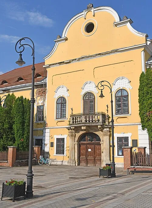
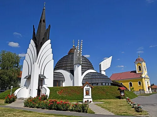
Largest cities and towns
Other regions in Hungary
-
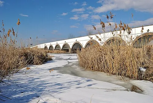 Hajdú-Bihar Region, Hungary82 km SW
-
 Borsod-Abauj Zemplen county Region, Hungary91 km W
-
Baktalórántházai Járás District, Szabolcs-Szatmár-Bereg11 km W
-
Mátészalkai Járás District, Szabolcs-Szatmár-Bereg14 km SE
-
Nagykálló District District, Szabolcs-Szatmár-Bereg33 km SW
-
Nyíregyházi Járás District, Szabolcs-Szatmár-Bereg39 km W
Sources & licences
Data last updated: · 2 independent sources