Tyrrelstown
Local name: Baile an Tirialaigh
Located in Dublin City, Leinster Coordinates: 53°24′58″ N 6°23′10″ W
- Elevation
- 83 m
- above sea level
- Local time
- UTC+00:00
- Europe/Dublin · UTC+00:00
About Tyrrelstown
Tyrrelstown is a village. Location: Dublin City, Leinster. Elevation: 83 m.
Tyrrelstown (Irish: Baile an Tirialaigh) is a townland and planned suburban area within the civil parish of Mulhuddart in Fingal, County Dublin, Ireland. Situated approximately 13 km northwest of Dublin city centre, Tyrrelstown is often considered part of the broader Blanchardstown area. The development of the area began in the early 2000s, and it falls within the Dublin 15 postal district.
Read more on Wikipedia Text: Wikipedia contributors · CC BY-SA 4.0 · shortened
In comparison
- Nearest larger town: Mulhuddart, 2 km SW
- 13 sights and natural places within 10 km Tolka Valley Park, Dunsoghly Castle
Nearby attractions & nature
Everything nearby-
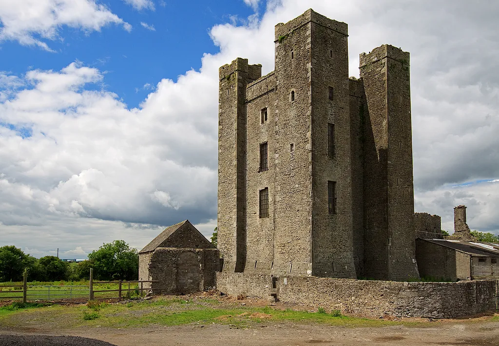 Dunsoghly Castle Historic site, Fingal4.7 km E
-
Tolka Valley Park Natural site, Fingal2.2 km S
-
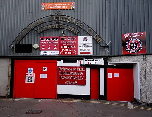 Dalymount Park Landmark, Dublin City9.6 km SE
-
Griffeen River River, Leinster7.8 km SW
-
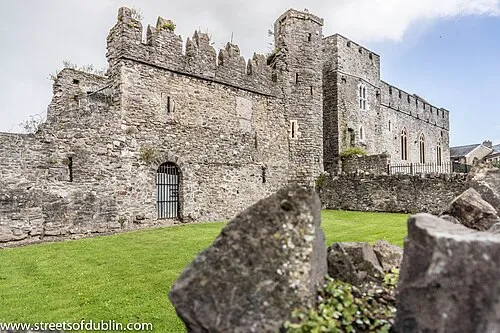 Swords Castle Historic site, Fingal12 km NE
-
Poppintree Park Natural site, Dublin City7.2 km E
Sources & licences
Data last updated: · 2 independent sources