Balally
Local name: Baile Amhlaoibh
Located in Dún Laoghaire-Rathdown, Leinster Coordinates: 53°16′30″ N 6°14′09″ W
- Population
- 9,051
- 9.1K
- Elevation
- 96 m
- above sea level
- Local time
- UTC+00:00
- Europe/Dublin · UTC+00:00
- Airports
- DUB Dublin Airport17 km
- IOM Isle of Man Airport139 km
About Balally
Balally is a town. Location: Dún Laoghaire-Rathdown, Leinster. Population: 9,051. Elevation: 96 m.
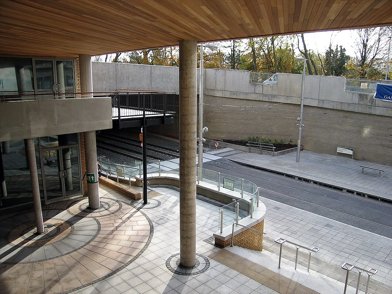
Balally (Irish: Baile Amhlaoibh, meaning 'Olafs' Town') is a townland and residential area in County Dublin, Ireland. Situated between Dundrum and Sandyford, Balally parish itself reaches from Ardglas to the M50 motorway. The area is served by two primary schools (St. Olaf's National School and Queen of Angels) and two secondary schools (St. Tiernan's and Wesley College). Balally is part of the conurbation of Greater Dublin, in the council area of Dún Laoghaire–Rathdown.
Source: Wikipedia · CC BY-SA 4.0
At a glance
- Area
- 17 km²
Source: Wikidata
Climate of Balally
Best months for sightseeingBest months for sightseeing: June–September.
This month · November
A cold month
Day 10° · Night 4° · Rain 95 mm
- Hottest month
- July (day 19°)
- Coldest month
- January (night 2°)
- Wettest month
- December (106 mm)
- Driest month
- July (65 mm)
Bars: average monthly low and high temperature. Below: precipitation. Monthly averages for 1970–2000 at about 18 km resolution, adjusted for elevation. Highlighted months are mild and relatively dry. Source: WorldClim 2.1 (CC BY 4.0).
Show values as a table
| Month | Jan | Feb | Mar | Apr | May | Jun | Jul | Aug | Sep | Oct | Nov | Dec |
|---|---|---|---|---|---|---|---|---|---|---|---|---|
| Average high (°C) | 8° | 8° | 10° | 12° | 15° | 18° | 19° | 19° | 17° | 14° | 10° | 8° |
| Average low (°C) | 2° | 2° | 3° | 4° | 7° | 9° | 11° | 11° | 9° | 7° | 4° | 3° |
| Precipitation (mm) | 101 | 78 | 77 | 67 | 69 | 68 | 65 | 85 | 85 | 101 | 95 | 106 |
Other places to visit in this season: June July August September
How to get to Balally
The nearest airport is Dublin Airport (DUB), 17 km to the north as the crow flies. The nearest large city is Dublin, 7 km to the north.
Airports
- Dublin Airport (DUB) Dublin 17 kmnorth
- Isle of Man Airport (IOM) Castletown, Rushen 139 kmnortheast
- George Best Belfast City Airport (BHD) Belfast 151 kmnorth
Nearby large cities
- Dublin Population: 1M 7 kmnorth
- Belfast Population: 348K 149 kmnorth
- Limerick Population: 102.3K 174 kmwest
- Birkenhead Population: 325.3K 215 kmeast
- Cork Population: 224K 215 kmsouthwest
Straight-line distances; road distances are longer. Airport data: OurAirports.
Day trips from Balally
Within 100 km: 292 historic and cultural sites, 479 natural sites, 363 lakes, rivers and coasts.
0–25 km189 places
- Wicklow Mountains Mountain 22 kmS
- Sandymount Strand Beach 7 kmN
- Portmarnock Beach Beach 18 kmNE
- North Bull Island Island 12 kmNE
25–60 km408 places
- Rockabill Island 39 kmNE
- Pollboy Bridge Landmark 52 kmNW
- Skerries Islands Island 36 kmN
- Shenicks Island Island 35 kmN
60–100 km537 places
- Curracloe Beach Beach 99 kmS
- Kings Island Island 96 kmS
- White Island Island 99 kmN
- Black Island Island 100 kmN
Straight-line distances.
Nearby attractions & nature
Everything nearby-
Dargle River River, Leinster2.1 km W
-
Three Rock TV Mast Landmark, Dún Laoghaire-Rathdown3.4 km S
-
Three Rock Mountain Mountain, Dún Laoghaire-Rathdown3.2 km S
-
Kilmashogue Mountain Mountain, Dún Laoghaire-Rathdown3.4 km SW
-
Owendoher River River, Leinster4.6 km NW
-
Two Rock Mountain Mountain, Dún Laoghaire-Rathdown4.1 km S
-
Killakee Mountain Mountain, South Dublin7.1 km SW
-
Donnybrook transmitter Landmark, Dublin City4.5 km N
Other cities and towns in Dún Laoghaire-Rathdown
-
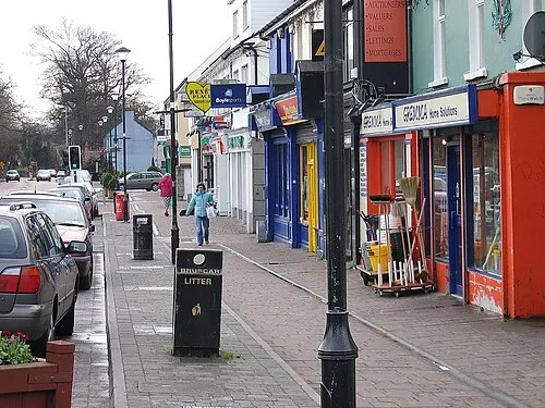 Shankill Town, Dún Laoghaire-Rathdown9.2 km SE
-
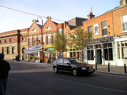 Blackrock Town, Dún Laoghaire-Rathdown4.9 km NE
-
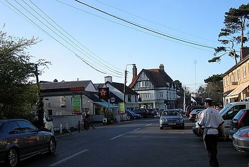 Foxrock Town, Dún Laoghaire-Rathdown4.2 km E
-
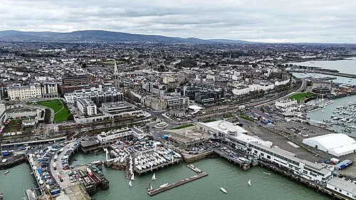 Dún Laoghaire Town, Dún Laoghaire-Rathdown7 km E
-
Monkstown Town, Dún Laoghaire-Rathdown5.9 km E
-
Sallynoggin Town, Dún Laoghaire-Rathdown6.4 km E
Sources & licences
Data last updated: · 2 independent sources