- Population
- 6,133
- 6.1K
- Elevation
- 691 m
- above sea level
- Local time
- UTC+01:00
- Europe/Rome · UTC+01:00
- Places inside
- 1
- listed under Trasacco
- Airports
- PSR Abruzzo Airport75 km
- CIA Ciampino–G. B. Pastine International Airport80 km
About Trasacco
Trasacco is a municipality. Location: Province of L'Aquila, Abruzzo. Population: 6,133. Elevation: 691 m. The best months to visit are June–September. The nearest airport is Abruzzo Airport (75 km). Nearby sights include Cunicoli di Claudio and Museo Paludi di Celano.
Climate of Trasacco
Best months for sightseeingBest months for sightseeing: June–September.
This month · November
A cold month
Day 12° · Night 5° · Rain 98 mm
- Hottest month
- August (day 26°)
- Coldest month
- February (night 1°)
- Wettest month
- October (100 mm)
- Driest month
- January (54 mm)
Bars: average monthly low and high temperature. Below: precipitation. Monthly averages for 1970–2000 at about 18 km resolution, adjusted for elevation. Highlighted months are mild and relatively dry. Source: WorldClim 2.1 (CC BY 4.0).
Show values as a table
| Month | Jan | Feb | Mar | Apr | May | Jun | Jul | Aug | Sep | Oct | Nov | Dec |
|---|---|---|---|---|---|---|---|---|---|---|---|---|
| Average high (°C) | 7° | 8° | 11° | 14° | 19° | 23° | 26° | 26° | 22° | 17° | 12° | 8° |
| Average low (°C) | 1° | 1° | 3° | 5° | 10° | 14° | 16° | 16° | 13° | 9° | 5° | 2° |
| Precipitation (mm) | 54 | 60 | 56 | 70 | 68 | 62 | 59 | 60 | 85 | 100 | 98 | 72 |
Other places to visit in this season: June July August September
How to get to Trasacco
The nearest airport is Abruzzo Airport (PSR), 75 km to the northeast as the crow flies. The nearest large city is Split, 294 km to the northeast.
Airports
- Abruzzo Airport (PSR) Pescara 75 kmnortheast
- Ciampino–G. B. Pastine International Airport (CIA) Rome 80 kmwest
- Rome–Fiumicino Leonardo da Vinci International Airport (FCO) Rome 108 kmwest
Nearby large cities
- Split Population: 149.8K 294 kmnortheast
- Rijeka Population: 108K 381 kmnorth
Straight-line distances; road distances are longer. Airport data: OurAirports.
Day trips from Trasacco
Within 100 km: 229 historic and cultural sites, 300 natural sites, 54 lakes, rivers and coasts.
0–25 km33 places
- Monte Viglio Mountain 16 kmSW
- Monte Selva Canuta Mountain 24 kmN
- Monte Savina Mountain 18 kmN
- Monte San Pietro Mountain 15 kmN
25–60 km191 places
- Cimarone del Villaneto Mountain 44 kmS
- Monte Veticoso Mountain 53 kmN
- Monte Urano Mountain 25 kmNE
- Serra Tre Monti Mountain 53 kmE
60–100 km359 places
- Ripari di Giobbe Beach 85 kmNE
- Valle Covatta Natural site 97 kmE
- Valle Cerrese Natural site 83 kmNW
- Giulianova Beach Beach 97 kmN
Straight-line distances.
Places in Trasacco
1 placeBar: population relative to the most populous place in this list.
Nearby attractions & nature
Everything nearby-
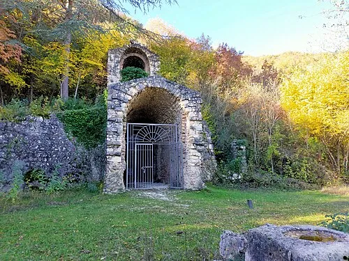 Cunicoli di Claudio Historic site, Avezzano9.1 km NW
-
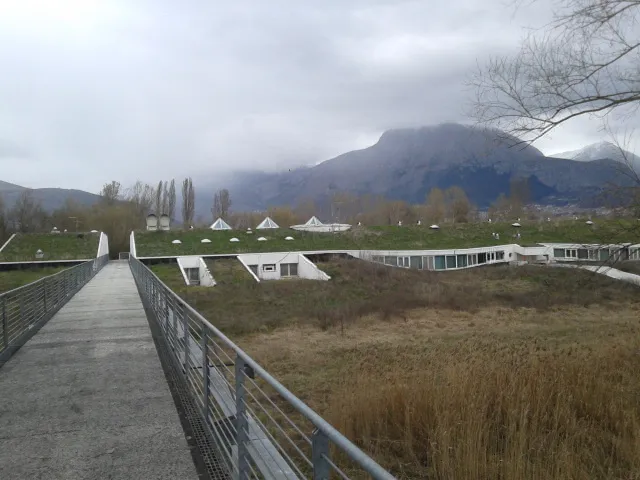 Museo Paludi di Celano Museum, Celano11 km N
-
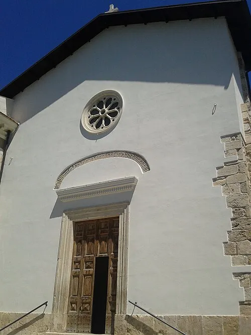 Museo civico di Cerchio Museum, Cerchio13 km NE
-
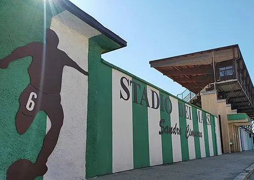 Stadio dei Marsi Landmark, Avezzano12 km NW
-
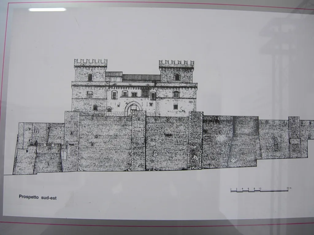 Museo d'Arte Sacra della Marsica Museum, Celano14 km N
-
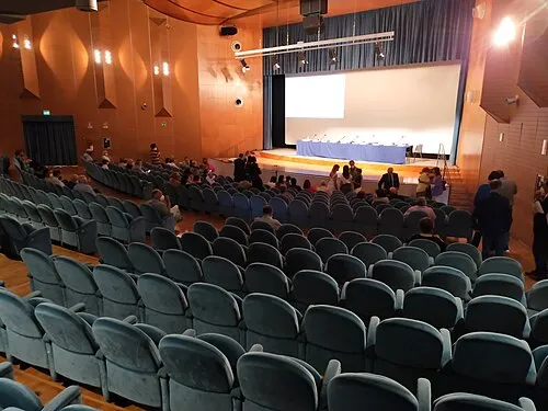 Teatro dei Marsi Attraction, Avezzano13 km NW
-
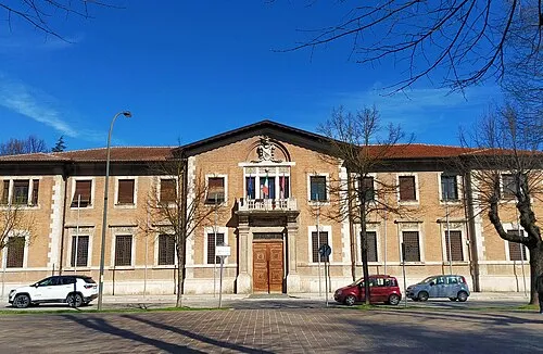 Palazzo Torlonia Historic site, Avezzano12 km NW
-
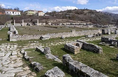 Alba Fucens Historic site, Massa d'Albe17 km NW
Sources & licences
Data last updated: