Località Viaro
Located in Tocco da Casauria, Province of Pescara Coordinates: 42°12′24″ N 13°54′30″ E
- Population
- 26
- 26
- Elevation
- 325 m
- above sea level
- Local time
- UTC+01:00
- Europe/Rome · UTC+01:00
- Airports
- PSR Abruzzo Airport34 km
- CIA Ciampino–G. B. Pastine International Airport118 km
About Località Viaro
Località Viaro is a village. Location: Tocco da Casauria, Province of Pescara. Population: 26. Elevation: 325 m. The best months to visit are May–July, September–October. The nearest airport is Abruzzo Airport (34 km). Nearby sights include Castello Gizzi and Castello di Salle.
Photos of Località Viaro
-
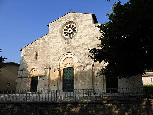
Chiesa di San Tommaso Becket Zitumassin · CC BY-SA 3.0 -
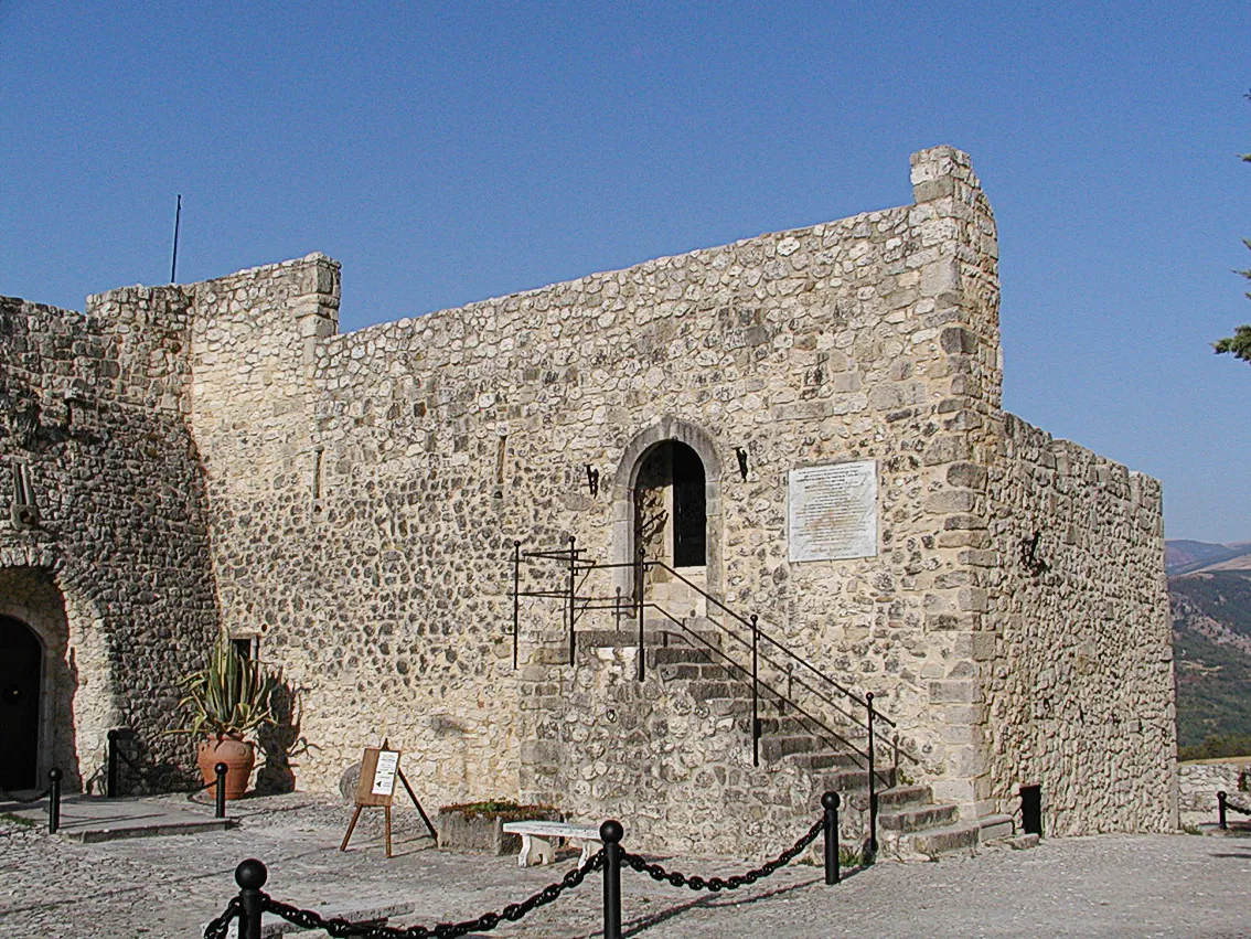
Castello di Salle Raboe001 · CC BY-SA 2.5 -
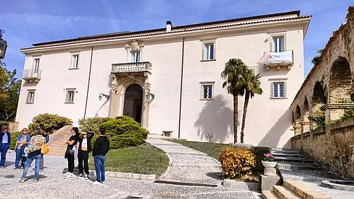
Castello Gizzi Pietro · CC BY-SA 4.0


Climate of Località Viaro
Best months for sightseeingBest months for sightseeing: May–July, September–October.
This month · November
Outside the best season
Day 14° · Night 6° · Rain 87 mm
- Hottest month
- July (day 28°)
- Coldest month
- January (night 2°)
- Wettest month
- October (89 mm)
- Driest month
- January (52 mm)
Bars: average monthly low and high temperature. Below: precipitation. Monthly averages for 1970–2000 at about 18 km resolution, adjusted for elevation. Highlighted months are mild and relatively dry. Source: WorldClim 2.1 (CC BY 4.0).
Show values as a table
| Month | Jan | Feb | Mar | Apr | May | Jun | Jul | Aug | Sep | Oct | Nov | Dec |
|---|---|---|---|---|---|---|---|---|---|---|---|---|
| Average high (°C) | 9° | 10° | 13° | 16° | 21° | 25° | 28° | 28° | 24° | 19° | 14° | 10° |
| Average low (°C) | 2° | 2° | 4° | 7° | 11° | 15° | 17° | 17° | 14° | 10° | 6° | 3° |
| Precipitation (mm) | 52 | 55 | 57 | 69 | 56 | 63 | 53 | 64 | 80 | 89 | 87 | 71 |
Other places to visit in this season: May June July September October
How to get to Località Viaro
The nearest airport is Abruzzo Airport (PSR), 34 km to the northeast as the crow flies. The nearest large city is Split, 252 km to the northeast.
Airports
- Abruzzo Airport (PSR) Pescara 34 kmnortheast
- Ciampino–G. B. Pastine International Airport (CIA) Rome 118 kmwest
- Rome–Fiumicino Leonardo da Vinci International Airport (FCO) Rome 144 kmwest
Nearby large cities
- Split Population: 149.8K 252 kmnortheast
- Mostar Population: 104.5K 343 kmnortheast
- Rijeka Population: 108K 349 kmnorth
- Banja Luka Population: 221.1K 391 kmnortheast
- Zenica Population: 164.4K 393 kmnortheast
Straight-line distances; road distances are longer. Airport data: OurAirports.
Day trips from Località Viaro
Within 100 km: 163 historic and cultural sites, 254 natural sites, 33 lakes, rivers and coasts.
0–25 km37 places
- Monte Urano Mountain 16 kmSW
- Monte Scarafano Mountain 8 kmW
- Monte Rotondo Mountain 18 kmW
- Monte Rapina Mountain 15 kmSE
25–60 km207 places
- Ripari di Giobbe Beach 44 kmNE
- Spiaggia Roseto degli Abruzzi Beach 53 kmN
- La spiaggia del Surabaja Beach 55 kmN
- Pineto Beach Beach 48 kmN
60–100 km206 places
- Vallone Grande Natural site 87 kmSE
- Valle Covatta Natural site 87 kmSE
- Giulianova Beach Beach 63 kmN
- Spiaggia Cupra Marittima Beach 91 kmN
Straight-line distances.
Nearby attractions & nature
Everything nearby-
Castello Gizzi Historic site, Torre de' Passeri4.4 km N
-
Castello di Salle Historic site, Salle6.1 km SE
-
Chiesa di San Tommaso Becket Attraction, Caramanico Terme5.9 km SE
-
Monte Corvo Mountain, Popoli Terme6.3 km SW
-
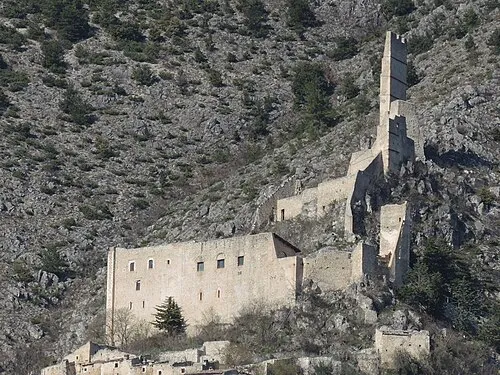 Castello di Roccacasale Historic site, Roccacasale9.2 km S
-
Monte Capo d'Acero Mountain, Corfinio8.8 km SW
Sources & licences
Data last updated: · 2 independent sources