- Population
- 109
- 109
- Elevation
- 476 m
- above sea level
- Local time
- UTC+01:00
- Europe/Rome · UTC+01:00
- Airports
- PSR Abruzzo Airport52 km
- PEG Perugia San Francesco d'Assisi – Umbria International Airport104 km
About Garrano Basso
Garrano Basso is a village. Location: Teramo, Province of Teramo. Population: 109. Elevation: 476 m.
Garrano Basso is a village in the province of Teramo. This province is located in the Abruzzo region of Italy. The village, which had a population of 109 as of 2001, is a frazione (part) of the city of Teramo. Relative to the city center, the village is 7.49 kilometers northwest, via the SS81 Piceno-Aprutina state road.
Source: Wikipedia · CC BY-SA 4.0
Photos of Garrano Basso
-
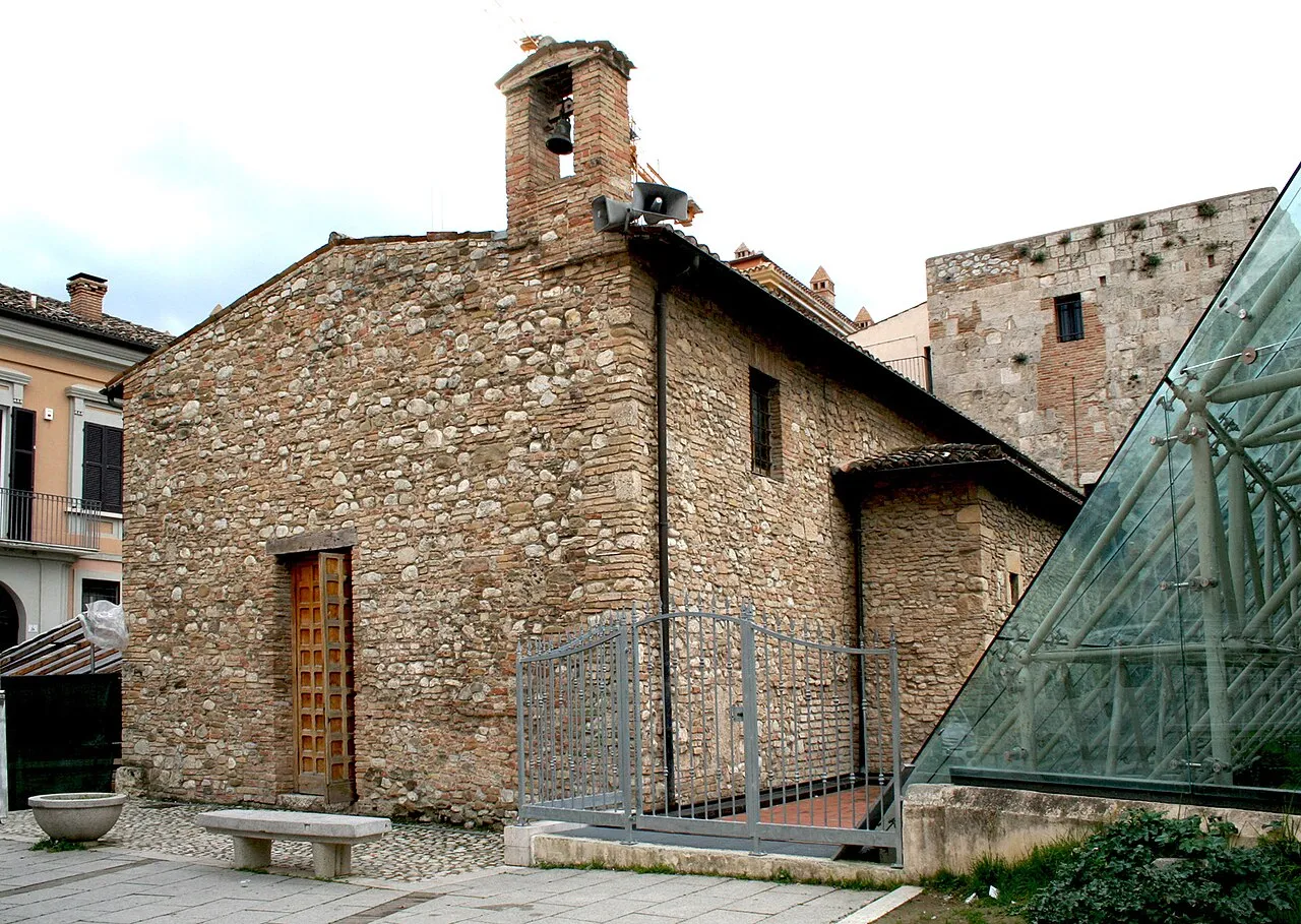
Chiesa di Sant'Anna dei Pompetti Infinitispazi · CC BY-SA 3.0 -
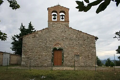
Chiesa di Santa Maria de Praediis Franco aq · Public domain -
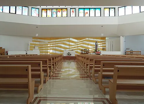
Chiesa della Madonna della Salute Interminatispazi · CC BY-SA 4.0 -
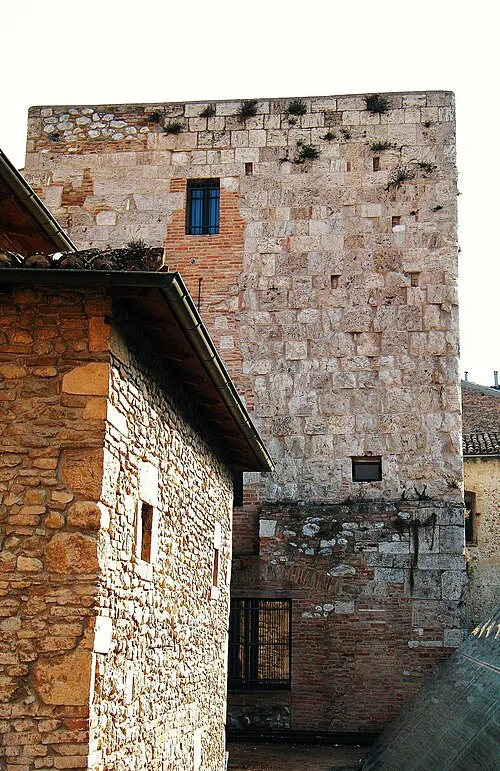
Torre Bruciata S4mb0r4 · CC BY-SA 3.0 -
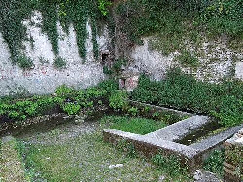
Fonte della Noce Interminatispazi · CC BY-SA 4.0


Climate of Garrano Basso
Best months for sightseeingBest months for sightseeing: May–September.
This month · November
Outside the best season
Day 13° · Night 6° · Rain 80 mm
- Hottest month
- July (day 27°)
- Coldest month
- February (night 2°)
- Wettest month
- October (93 mm)
- Driest month
- January (45 mm)
Bars: average monthly low and high temperature. Below: precipitation. Monthly averages for 1970–2000 at about 18 km resolution, adjusted for elevation. Highlighted months are mild and relatively dry. Source: WorldClim 2.1 (CC BY 4.0).
Show values as a table
| Month | Jan | Feb | Mar | Apr | May | Jun | Jul | Aug | Sep | Oct | Nov | Dec |
|---|---|---|---|---|---|---|---|---|---|---|---|---|
| Average high (°C) | 8° | 9° | 11° | 15° | 20° | 23° | 27° | 27° | 22° | 18° | 13° | 9° |
| Average low (°C) | 2° | 2° | 4° | 6° | 11° | 15° | 17° | 17° | 14° | 10° | 6° | 3° |
| Precipitation (mm) | 45 | 50 | 55 | 70 | 73 | 82 | 69 | 71 | 91 | 93 | 80 | 62 |
Other places to visit in this season: May June July August September
How to get to Garrano Basso
The nearest airport is Abruzzo Airport (PSR), 52 km to the southeast as the crow flies. The nearest large city is Split, 243 km to the northeast.
Airports
- Abruzzo Airport (PSR) Pescara 52 kmsoutheast
- Perugia San Francesco d'Assisi – Umbria International Airport (PEG) Perugia (PG) 104 kmnorthwest
- Marche Airport (AOI) Falconara Marittima (AN) 105 kmnorth
Nearby large cities
- Split Population: 149.8K 243 kmnortheast
- Rijeka Population: 108K 299 kmnorth
- Ljubljana Population: 272.2K 379 kmnorth
- Zagreb Population: 663.6K 393 kmnortheast
Straight-line distances; road distances are longer. Airport data: OurAirports.
Day trips from Garrano Basso
Within 100 km: 151 historic and cultural sites, 240 natural sites, 42 lakes, rivers and coasts.
0–25 km33 places
- Monte Scalandro Mountain 24 kmW
- Monte Piselli Mountain 11 kmNW
- Monte Pelone Mountain 23 kmW
- Monte Pallone Mountain 23 kmW
25–60 km163 places
- Giulianova Beach Beach 26 kmE
- Spiaggia Marina Palmense Beach 52 kmN
- Spiaggia Lido di Fermo Beach 57 kmN
- Spiaggia Cupra Marittima Beach 40 kmNE
60–100 km237 places
- Ripari di Giobbe Beach 70 kmSE
- Valle Cerrese Natural site 89 kmSW
- Spiaggia Porto Sant'Elpidio Beach 63 kmN
- Spiaggia Francavilla al Mare Beach 61 kmSE
Straight-line distances.
Nearby attractions & nature
Everything nearby-
Colle Castrogno Mountain, Teramo1.8 km E
-
Chiesa di Santa Maria de Praediis Attraction, Teramo2.4 km SW
-
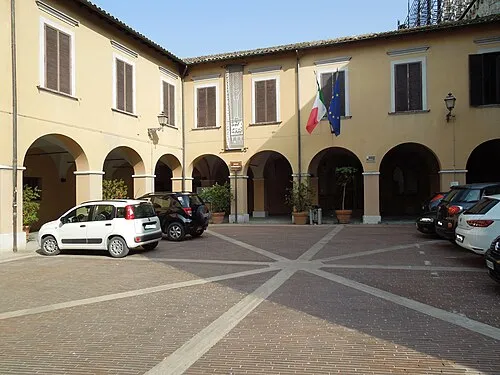 Museo Archeologico Nazionale Museum, Campli3.8 km NE
-
Torre Bruciata Landmark, Teramo5.6 km SE
-
Chiesa della Madonna della Salute Attraction, Teramo5.2 km SE
-
Fonte della Noce Landmark, Teramo5.8 km SE
Other cities and towns in Teramo
-
Cannelli Village, Teramo3.7 km E
-
San Pietro Ad Lacum Village, Teramo3.6 km E
-
Colle Santa Maria-Varano Village, Teramo4.9 km E
-
Viola Village, Teramo4.4 km SE
-
Sciusciano Village, Teramo3.1 km E
-
 Monticelli Village, Teramo5.7 km E
Sources & licences
Data last updated: · 2 independent sources