Spiaggia di Passo Oscuro
Located in Province of Rome, Lazio Coordinates: 41°54′04″ N 12°09′19″ E
- Local time
- UTC+01:00
- Europe/Rome · UTC+01:00
- Airports
- FCO Rome–Fiumicino Leonardo da Vinci International Airport13 km
- CIA Ciampino–G. B. Pastine International Airport38 km
About Spiaggia di Passo Oscuro
Spiaggia di Passo Oscuro is a beach. Location: Province of Rome, Lazio. The best months to visit are May–June, September–October. The nearest airport is Rome–Fiumicino Leonardo da Vinci International Airport (13 km). Nearby sights include Spiaggia di Fregene and Balneare la Baia Beach.
Climate of Spiaggia di Passo Oscuro
Best months for sightseeingBest months for sightseeing: May–June, September–October.
This month · November
Outside the best season
Day 16° · Night 8° · Rain 65 mm
- Hottest month
- August (day 30°)
- Coldest month
- January (night 5°)
- Wettest month
- October (66 mm)
- Driest month
- July (7 mm)
Bars: average monthly low and high temperature. Below: precipitation. Monthly averages for 1970–2000 at about 18 km resolution, adjusted for elevation. Highlighted months are mild and relatively dry. Source: WorldClim 2.1 (CC BY 4.0).
Show values as a table
| Month | Jan | Feb | Mar | Apr | May | Jun | Jul | Aug | Sep | Oct | Nov | Dec |
|---|---|---|---|---|---|---|---|---|---|---|---|---|
| Average high (°C) | 12° | 13° | 15° | 18° | 23° | 26° | 30° | 30° | 26° | 21° | 16° | 13° |
| Average low (°C) | 5° | 5° | 6° | 8° | 12° | 16° | 19° | 19° | 17° | 13° | 8° | 6° |
| Precipitation (mm) | 58 | 51 | 42 | 42 | 27 | 18 | 7 | 23 | 46 | 66 | 65 | 58 |
Other places to visit in this season: May June September October
How to get to Spiaggia di Passo Oscuro
The nearest airport is Rome–Fiumicino Leonardo da Vinci International Airport (FCO), 13 km to the southeast as the crow flies. The nearest large city is Split, 394 km to the northeast.
Airports
- Rome–Fiumicino Leonardo da Vinci International Airport (FCO) Rome 13 kmsoutheast
- Ciampino–G. B. Pastine International Airport (CIA) Rome 38 kmeast
- Perugia San Francesco d'Assisi – Umbria International Airport (PEG) Perugia (PG) 136 kmnorth
Nearby large cities
- Split Population: 149.8K 394 kmnortheast
Straight-line distances; road distances are longer. Airport data: OurAirports.
Day trips from Spiaggia di Passo Oscuro
Within 100 km: 83 historic and cultural sites, 129 natural sites, 30 lakes, rivers and coasts.
0–25 km10 places
- Campo di Mare Beach 13 kmNW
- Balneare la Baia Beach Beach 10 kmNW
- Spiaggia di Fregene Beach 7 kmSE
- Spiaggia di Fiumicino Beach 16 kmS
25–60 km116 places
- Boca Do Mar Beach 46 kmNW
- Spiaggia di Rio Torto Beach 43 kmSE
- Spiaggia Torvaianica Beach 39 kmSE
- Spiaggia Marina di Ardea Beach 50 kmSE
60–100 km116 places
- Valle Cerrese Natural site 66 kmNE
- Ultima Spiaggia Beach 79 kmNW
- Siaggia delle graticciare Beach 78 kmNW
- Riva del Marchese Beach 95 kmNW
Straight-line distances.
Nearest towns and villages
-
Passoscuro Village, Fiumicino0.2 km NE
-
Scuole Village, Fiumicino2.4 km E
-
Ospedale Bambin Gesù Village, Fiumicino2.4 km NW
-
Stalla Nord-Centro 34 Village, Fiumicino3.2 km SE
-
 Palidoro Village, Fiumicino3.7 km NE
-
Marina San Nicola Neighbourhood, Ladispoli4.4 km NW
Nearby attractions & nature
Everything nearby-
Spiaggia di Fregene Beach, Fiumicino6.5 km SE
-
Balneare la Baia Beach Beach, Italy9.7 km NW
-
Spiaggia di Focene Beach, Fiumicino11 km SE
-
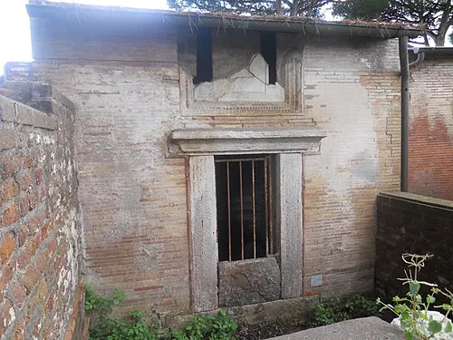 Isola Sacra Island, Lazio19 km SE
-
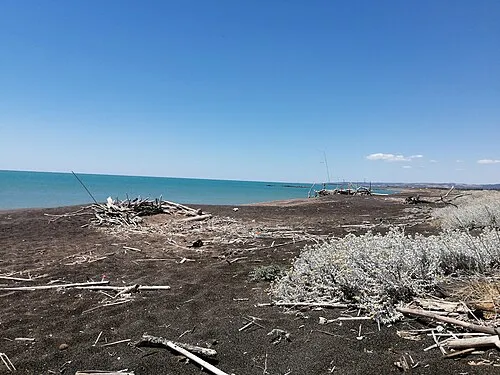 Campo di Mare Beach, Italy13 km NW
-
Spiaggia di Fiumicino Beach, Fiumicino16 km S
-
Monte Cerchiara Mountain, Bracciano18 km N
-
Monte Acqua Tosta Mountain, Tolfa25 km NW
More lakes, rivers and coasts in Italy
-
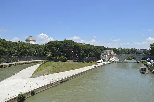 Tiber Island Island, Rome27 km E
-
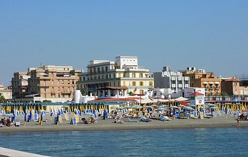 Ostia Beach Beach, Municipio Roma X22 km SE
-
Spiaggia di Tor Paterno Beach, Municipio Roma X27 km SE
-
Settimo Cielo Beach Beach, Municipio Roma X33 km SE
-
Zion Beach Beach, Pomezia35 km SE
-
Spiaggia di Rio Torto Beach, Pomezia43 km SE
Sources & licences
Data last updated: · 2 independent sources