Varese Ligure
Located in Province of La Spezia, Liguria Coordinates: 44°22′35″ N 9°35′39″ E
- Population
- 1,903
- 1.9K
- Elevation
- 359 m
- above sea level
- Local time
- UTC+01:00
- Europe/Rome · UTC+01:00
- Places inside
- 23
- listed under Varese Ligure
- Airports
- GOA Genoa Cristoforo Colombo Airport60 km
- PMF Parma Airport75 km
About Varese Ligure
Varese Ligure is a municipality. Location: Province of La Spezia, Liguria. Population: 1,903. Elevation: 359 m. The best months to visit are May–September. The nearest airport is Genoa Cristoforo Colombo Airport (60 km). Nearby sights include Monte Chiappa and Monte Gottero.
Photos of Varese Ligure
-
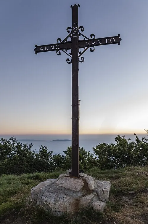
Monte Gottero Daniele Dedo Martinelli · CC BY-SA 4.0

Climate of Varese Ligure
Best months for sightseeingBest months for sightseeing: May–September.
This month · November
A wet month
Day 12° · Night 5° · Rain 213 mm
- Hottest month
- July (day 28°)
- Coldest month
- January (night 1°)
- Wettest month
- October (225 mm)
- Driest month
- July (56 mm)
Bars: average monthly low and high temperature. Below: precipitation. Monthly averages for 1970–2000 at about 18 km resolution, adjusted for elevation. Highlighted months are mild and relatively dry. Source: WorldClim 2.1 (CC BY 4.0).
Show values as a table
| Month | Jan | Feb | Mar | Apr | May | Jun | Jul | Aug | Sep | Oct | Nov | Dec |
|---|---|---|---|---|---|---|---|---|---|---|---|---|
| Average high (°C) | 8° | 10° | 13° | 15° | 20° | 24° | 28° | 28° | 23° | 18° | 12° | 9° |
| Average low (°C) | 1° | 1° | 3° | 6° | 10° | 13° | 16° | 16° | 13° | 9° | 5° | 2° |
| Precipitation (mm) | 162 | 102 | 133 | 143 | 116 | 100 | 56 | 92 | 148 | 225 | 213 | 159 |
Other places to visit in this season: May June July August September
How to get to Varese Ligure
The nearest airport is Genoa Cristoforo Colombo Airport (GOA), 60 km to the west as the crow flies. The nearest large city is Nice, 201 km to the west.
Airports
- Genoa Cristoforo Colombo Airport (GOA) Genova (GE) 60 kmwest
- Parma Airport (PMF) Parma (PR) 75 kmnortheast
- Pisa International Airport (PSA) Pisa (PI) 100 kmsoutheast
Nearby large cities
- Nice Population: 342.7K 201 kmwest
- Grenoble Population: 158.6K 320 kmwest
- Toulon Population: 168.7K 326 kmsouthwest
- Bern Population: 121.6K 331 kmnorthwest
- Lausanne Population: 139.1K 332 kmnorthwest
Straight-line distances; road distances are longer. Airport data: OurAirports.
Day trips from Varese Ligure
Within 100 km: 36 historic and cultural sites, 220 natural sites, 30 lakes, rivers and coasts.
0–25 km46 places
- La Spiaggia di Levanto Beach 23 kmS
- Baia del Silenzio Beach 20 kmSW
- Sun Beach Beach 19 kmSW
- Luna Blu Beach Beach 19 kmSW
25–60 km151 places
- Rotteri Mountain 28 kmNW
- Gifarco Mountain 27 kmNW
- Bagni Pagana Beach 30 kmW
- Spiaggia della Marinella di San Terenzo Beach 40 kmSE
60–100 km89 places
- Fiume Ticino River 91 kmN
- La Lecciona Beach 79 kmSE
- Spiaggia Forte dei Marmi Beach 65 kmSE
- Spiaggia Marina di Pietrasanta Beach 69 kmSE
Straight-line distances.
Places in Varese Ligure
23 places- 1 Varese Ligure 525
- 2 San Pietro Vara 228
- 3 Codivara 34
- 4 Ghiggè 32
- 5 San Carlo 32
- 6 Salino 30
- 7 Zanega 25
- 8 Toceto 24
- 9 Scurtabò 23
- 10 Montale 22
- 11 Costa 21
- 12 Costola 19
- 13 Comuneglia 18
- 14 Marchesano 17
- 15 Scauggia 17
- 16 Taglieto 16
- 17 Valletti 15
- 18 Cavizzano 14
- 19 Casareggio 13
- 20 Buto 11
- 21 Cassego-Villa 10
- 22 Codivilla 8
- 23 Caranza 4
Bar: population relative to the most populous place in this list.
Nearby attractions & nature
Everything nearby-
Monte Chiappa Mountain, Tuscany5.4 km E
-
Monte Gottero Mountain, Sesta Godano6.9 km E
-
Monte Passo del Lupo Mountain, Tuscany6.2 km E
-
Monte Scassella Mountain, Tuscany6.3 km NE
-
Monte Zuccone Mountain, Tuscany6.7 km N
-
Monte Teccio al sole Mountain, Liguria7.9 km E
-
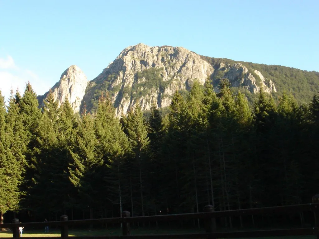 Monte Penna Mountain, Liguria14 km NW
-
Monte Tecchione Mountain, Liguria12 km E
Sources & licences
Data last updated: