- Population
- 70
- 70
- Elevation
- 641 m
- above sea level
- Local time
- UTC+01:00
- Europe/Rome · UTC+01:00
- Airports
- CUF Cuneo International Airport52 km
- GOA Genoa Cristoforo Colombo Airport60 km
About Giaire Sottane
Giaire Sottane is a village. Location: Calizzano, Province of Savona. Population: 70. Elevation: 641 m. The best months to visit are June–September. The nearest airport is Cuneo International Airport (52 km). Nearby sights include Ligurian Alps and Monte Galero.
Climate of Giaire Sottane
Best months for sightseeingBest months for sightseeing: June–September.
This month · November
A cold month
Day 11° · Night 5° · Rain 89 mm
- Hottest month
- July (day 25°)
- Coldest month
- January (night 2°)
- Wettest month
- October (126 mm)
- Driest month
- July (28 mm)
Bars: average monthly low and high temperature. Below: precipitation. Monthly averages for 1970–2000 at about 18 km resolution, adjusted for elevation. Highlighted months are mild and relatively dry. Source: WorldClim 2.1 (CC BY 4.0).
Show values as a table
| Month | Jan | Feb | Mar | Apr | May | Jun | Jul | Aug | Sep | Oct | Nov | Dec |
|---|---|---|---|---|---|---|---|---|---|---|---|---|
| Average high (°C) | 7° | 8° | 11° | 14° | 18° | 22° | 25° | 25° | 21° | 16° | 11° | 8° |
| Average low (°C) | 2° | 2° | 5° | 7° | 12° | 15° | 18° | 18° | 14° | 10° | 5° | 3° |
| Precipitation (mm) | 74 | 62 | 71 | 91 | 84 | 54 | 28 | 52 | 81 | 126 | 89 | 71 |
Other places to visit in this season: June July August September
How to get to Giaire Sottane
The nearest airport is Cuneo International Airport (CUF), 52 km to the northwest as the crow flies. For international flights: Genoa Cristoforo Colombo Airport (GOA) (60 km). The nearest large city is Nice, 91 km to the southwest.
Airports
- Cuneo International Airport (CUF) Levaldigi (CN) 52 kmnorthwest
- Genoa Cristoforo Colombo Airport (GOA) Genova (GE) 60 kmeast
- Nice-Côte d'Azur Airport (NCE) Nice, Alpes-Maritimes 98 kmsouthwest
Nearby large cities
- Nice Population: 342.7K 91 kmsouthwest
- Toulon Population: 168.7K 216 kmsouthwest
- Grenoble Population: 158.6K 217 kmnorthwest
- Aix-en-Provence Population: 146.8K 229 kmwest
- Marseille Population: 877.2K 244 kmsouthwest
Straight-line distances; road distances are longer. Airport data: OurAirports.
Day trips from Giaire Sottane
Within 100 km: 87 historic and cultural sites, 435 natural sites, 65 lakes, rivers and coasts.
0–25 km18 places
- Spiaggia di Ceriale Beach 19 kmSE
- Baba Beach Beach 25 kmS
- Spiaggia Albenga Beach 23 kmS
- Spiaggia di Pietra Ligure Beach 17 kmSE
25–60 km109 places
- Lac des Mesches Lake 51 kmW
- Monte lega Mountain 48 kmSW
- Cime de la Nauca Mountain 52 kmSW
- Cime de Coss Mountain 56 kmSW
60–100 km460 places
- Plage de Buse Beach 76 kmSW
- Plage Petite Afrique Beach 86 kmSW
- Plage des Fourmis Beach 87 kmSW
- Neptune Plage Beach 92 kmSW
Straight-line distances.
Nearby attractions & nature
Everything nearby-
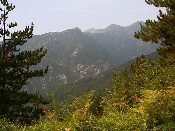 Ligurian Alps Mountain, Piedmont9.3 km S
-
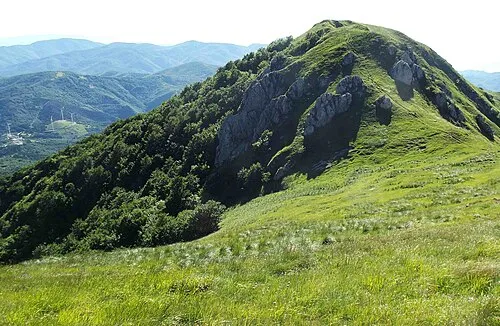 Monte Galero Mountain, Nasino13 km SW
-
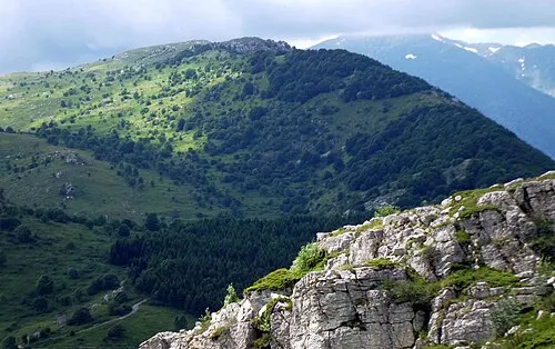 Monte Armetta Mountain, Ormea19 km SW
-
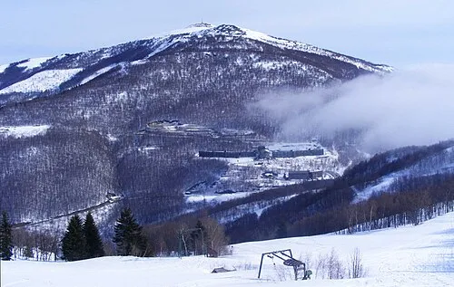 Bric Mindino Mountain, Garessio13 km W
-
Truc Berengero Mountain, Nasino16 km SW
-
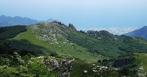 Monte Dubasso Mountain, Alto17 km SW
Other cities and towns in Calizzano
-
 Mereta Village, Calizzano3.7 km S
-
 Barbassiria Village, Calizzano3.1 km NW
Sources & licences
Data last updated: · 2 independent sources