
- Population
- 1,271,759
- 1.3M
- Elevation
- 667 m
- above sea level
- Local time
- UTC+01:00
- Europe/Rome · UTC+01:00
- Places inside
- 205
- listed under Province of Brescia
- Airports
- VBS Brescia Gabriele d'Annunzio Airport31 km
- BGY Il Caravaggio International Airport49 km
About Province of Brescia
Province of Brescia is a district. Location: Lombardy, Italy. Population: 1,271,759. The best months to visit are June–September. The nearest airport is Brescia Gabriele d'Annunzio Airport (31 km). Nearby sights include Corna Blacca and Val Listrea.
Photos of Province of Brescia
-
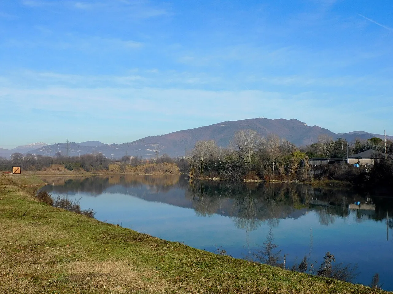
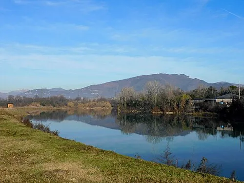
Monte Maddalena Moliva · CC BY-SA 4.0 -
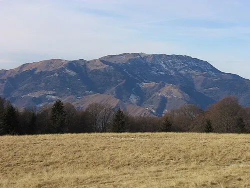
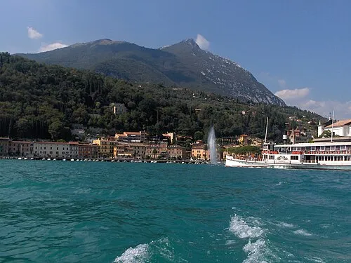
Monte Guglielmo Grasso83 · CC BY-SA 3.0 -
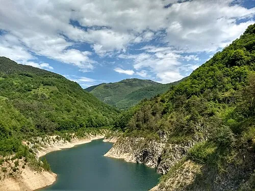
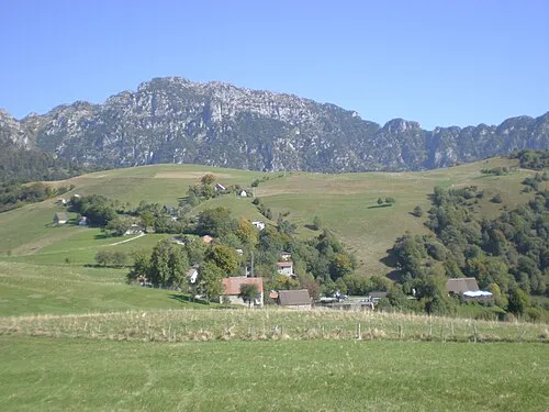
Monte Denervo Cadria · CC BY-SA 4.0 -
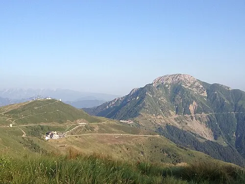
Dosso Alto Sistoiv · CC BY-SA 3.0 -
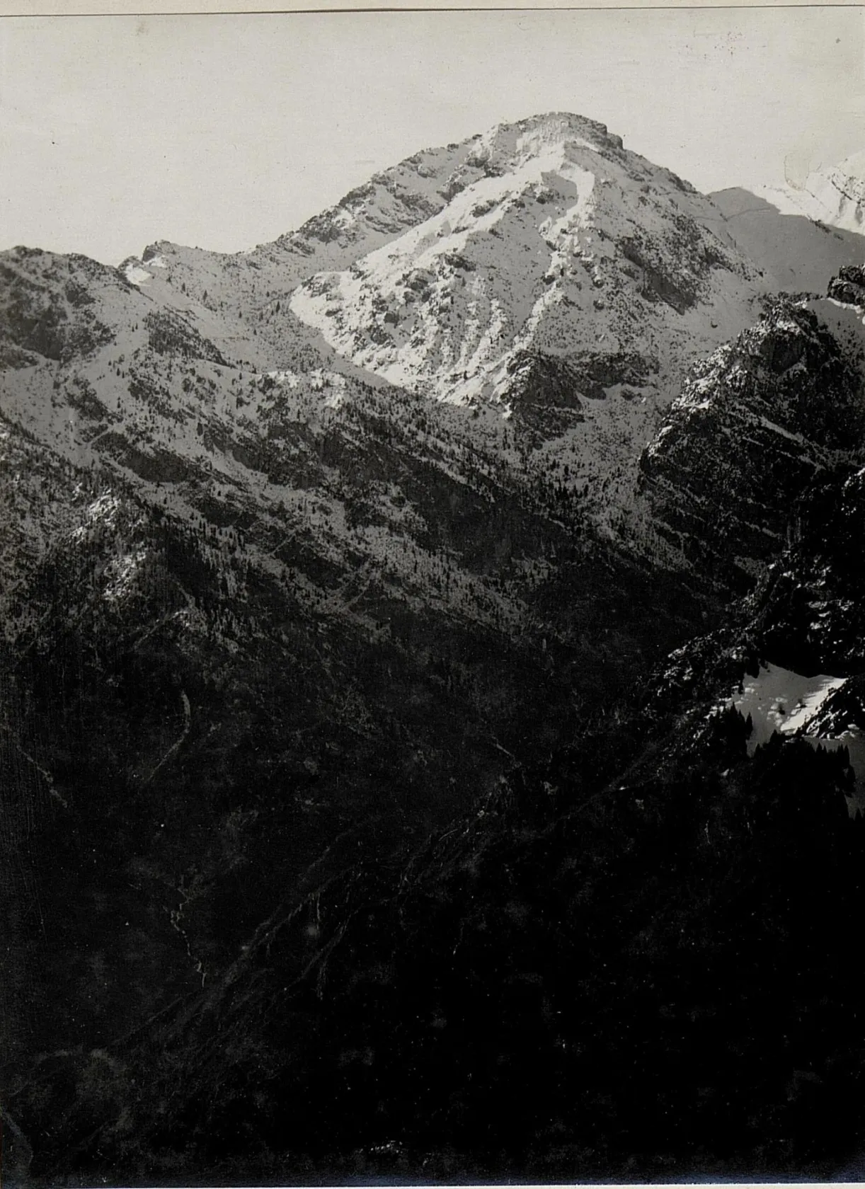
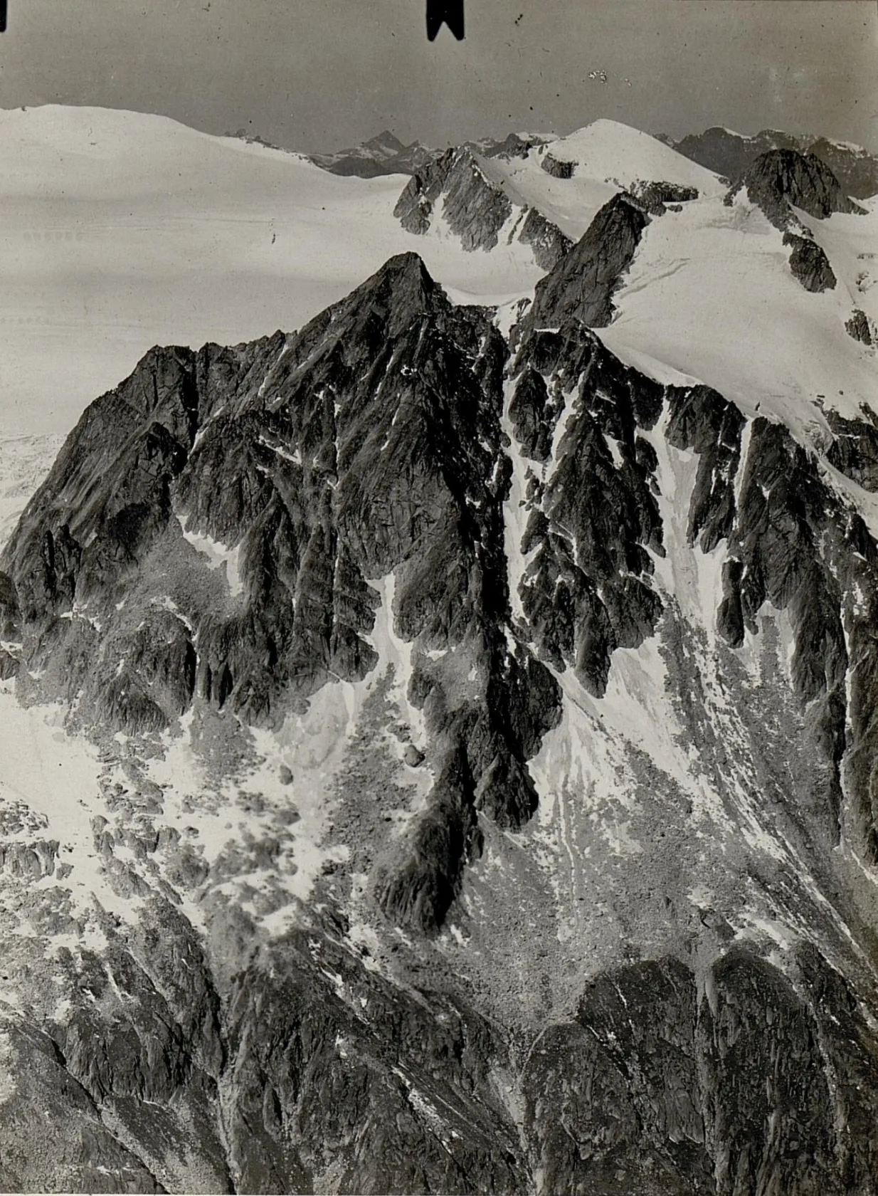
Cima di Marogna K.u.k. Kriegspressequartier, Lichtbildstelle - Wien · Public domain


Climate of Province of Brescia
Best months for sightseeingBest months for sightseeing: June–September.
This month · November
A cold month
Day 9° · Night 1° · Rain 47 mm
- Hottest month
- July (day 25°)
- Coldest month
- January (night -3°)
- Wettest month
- June (77 mm)
- Driest month
- February (26 mm)
Bars: average monthly low and high temperature. Below: precipitation. Monthly averages for 1970–2000 at about 18 km resolution, adjusted for elevation. Highlighted months are mild and relatively dry. Source: WorldClim 2.1 (CC BY 4.0).
Show values as a table
| Month | Jan | Feb | Mar | Apr | May | Jun | Jul | Aug | Sep | Oct | Nov | Dec |
|---|---|---|---|---|---|---|---|---|---|---|---|---|
| Average high (°C) | 5° | 7° | 11° | 14° | 18° | 22° | 25° | 25° | 20° | 15° | 9° | 6° |
| Average low (°C) | -3° | -2° | 1° | 4° | 9° | 13° | 15° | 15° | 11° | 7° | 1° | -2° |
| Precipitation (mm) | 35 | 26 | 38 | 53 | 73 | 77 | 68 | 75 | 75 | 77 | 47 | 34 |
Other places to visit in this season: June July August September
How to get to Province of Brescia
The nearest airport is Brescia Gabriele d'Annunzio Airport (VBS), 31 km to the south as the crow flies. For international flights: Il Caravaggio International Airport (BGY) (49 km). The nearest large city is Innsbruck, 191 km to the northeast.
Airports
- Brescia Gabriele d'Annunzio Airport (VBS) Montichiari (BS) 31 kmsouth
- Il Caravaggio International Airport (BGY) Orio al Serio (BG) 49 kmwest
- Verona Villafranca Valerio Catullo Airport (VRN) Caselle (VR) 55 kmsoutheast
Nearby large cities
- Innsbruck Population: 132.5K 191 kmnortheast
- Zurich Population: 415.4K 230 kmnorthwest
- Winterthur Population: 111.8K 235 kmnorthwest
- Bern Population: 121.6K 262 kmnorthwest
- Munich Population: 1.5M 286 kmnorth
Straight-line distances; road distances are longer. Airport data: OurAirports.
Day trips from Province of Brescia
Within 100 km: 61 historic and cultural sites, 1,509 natural sites, 98 lakes, rivers and coasts.
0–25 km34 places
- Monte Maddalena Mountain 18 kmS
- Monte Guglielmo Mountain 14 kmNW
- Monte Spino Mountain 17 kmE
- Cima Spessa Mountain 24 kmNE
25–60 km289 places
- Spadalone Mountain 57 kmNE
- Dosso Rotondo Mountain 51 kmE
- Monte Bronzone Mountain 27 kmW
- Selvata Mountain 58 kmE
60–100 km1,345 places
- Chaviolas Island 92 kmNW
- Silvaplanersee Lake 93 kmNW
- Lake Sils Lake 92 kmNW
- Lago di Poschiavo Lake 67 kmN
Straight-line distances.
Places in Province of Brescia
205 places- 181 Saviore dell'Adamello 867
- 182 Cevo 857
- 183 Mura 774
- 184 Brione 721
- 185 Braone 693
- 186 Cerveno 669
- 187 Vione 667
- 188 Marmentino 659
- 189 Losine 609
- 190 Pertica Bassa 609
- 191 Paspardo 602
- 192 Longhena 571
- 193 Pertica Alta 543
- 194 Cimbergo 540
- 195 Monno 535
- 196 Treviso Bresciano 519
- 197 Lavenone 516
- 198 Anfo 487
- 199 Lozio 405
- 200 Incudine 368
- 201 Capovalle 353
- 202 Paisco Loveno 185
- 203 Valvestino 179
- 204 Irma 128
- 205 Magasa 123
Bar: population relative to the most populous place in this list.
Nature and heritage in Province of Brescia
Nearby attractions & nature
Everything nearby-
Corna Blacca Mountain, Trentino-Alto Adige10 km N
-
Val Listrea Natural site, Lombardy12 km S
-
Corno Zeno Mountain, Trentino-Alto Adige11 km NE
-
Monte Mignolino Mountain, Trentino-Alto Adige20 km N
-
Campi Elisi Mountain, Storo21 km NE
-
Pice Mountain, Storo23 km NE
Sources & licences
Data last updated: