Monastero di Vasco
Located in Province of Cuneo, Piedmont Coordinates: 44°20′25″ N 7°49′22″ E
- Population
- 1,291
- 1.3K
- Elevation
- 516 m
- above sea level
- Local time
- UTC+01:00
- Europe/Rome · UTC+01:00
- Places inside
- 14
- listed under Monastero di Vasco
- Airports
- CUF Cuneo International Airport28 km
- GOA Genoa Cristoforo Colombo Airport82 km
About Monastero di Vasco
Monastero di Vasco is a municipality. Location: Province of Cuneo, Piedmont. Population: 1,291. Elevation: 516 m. The best months to visit are May–September. The nearest airport is Cuneo International Airport (28 km). Nearby sights include Monte Moro di Frabosa and Monte Malanotte.
Climate of Monastero di Vasco
Best months for sightseeingBest months for sightseeing: May–September.
This month · November
A cold month
Day 11° · Night 4° · Rain 69 mm
- Hottest month
- July (day 26°)
- Coldest month
- January (night -1°)
- Wettest month
- October (95 mm)
- Driest month
- July (26 mm)
Bars: average monthly low and high temperature. Below: precipitation. Monthly averages for 1970–2000 at about 18 km resolution, adjusted for elevation. Highlighted months are mild and relatively dry. Source: WorldClim 2.1 (CC BY 4.0).
Show values as a table
| Month | Jan | Feb | Mar | Apr | May | Jun | Jul | Aug | Sep | Oct | Nov | Dec |
|---|---|---|---|---|---|---|---|---|---|---|---|---|
| Average high (°C) | 6° | 8° | 12° | 15° | 20° | 24° | 26° | 26° | 22° | 17° | 11° | 7° |
| Average low (°C) | -1° | 1° | 4° | 7° | 12° | 15° | 18° | 18° | 14° | 9° | 4° | 1° |
| Precipitation (mm) | 47 | 49 | 57 | 72 | 75 | 50 | 26 | 48 | 65 | 95 | 69 | 50 |
Other places to visit in this season: May June July August September
How to get to Monastero di Vasco
The nearest airport is Cuneo International Airport (CUF), 28 km to the northwest as the crow flies. For international flights: Genoa Cristoforo Colombo Airport (GOA) (82 km). The nearest large city is Nice, 84 km to the southwest.
Airports
- Cuneo International Airport (CUF) Levaldigi (CN) 28 kmnorthwest
- Genoa Cristoforo Colombo Airport (GOA) Genova (GE) 82 kmeast
- Nice-Côte d'Azur Airport (NCE) Nice, Alpes-Maritimes 90 kmsouthwest
Nearby large cities
- Nice Population: 342.7K 84 kmsouthwest
- Grenoble Population: 158.6K 191 kmnorthwest
- Toulon Population: 168.7K 204 kmsouthwest
- Aix-en-Provence Population: 146.8K 211 kmsouthwest
- Marseille Population: 877.2K 228 kmsouthwest
Straight-line distances; road distances are longer. Airport data: OurAirports.
Day trips from Monastero di Vasco
Within 100 km: 100 historic and cultural sites, 621 natural sites, 112 lakes, rivers and coasts.
0–25 km14 places
- Monte Rotondo Mountain 19 kmS
- Bric di Canoia Mountain 20 kmS
- Monte Mongioie Mountain 19 kmS
- Cima della Brignola Mountain 18 kmS
25–60 km196 places
- Lac des Mesches Lake 38 kmSW
- Cime des Vallières Mountain 54 kmSW
- Mont Tournairet Mountain 59 kmSW
- Monte lega Mountain 43 kmS
60–100 km623 places
- Plage de Buse Beach 71 kmSW
- Plage Petite Afrique Beach 80 kmSW
- Plage des Fourmis Beach 81 kmSW
- Neptune Plage Beach 85 kmSW
Straight-line distances.
Places in Monastero di Vasco
14 places- 1 Monastero di Vasco 1.2K
- 2 Vasco 429
- 3 Roapiana 245
- 4 Doni 35
- 5 Comini di Vasco 31
- 6 Villero 31
- 7 Villa 28
- 8 Gandolfi 26
- 9 Bertolini Soprani 23
- 10 Blisi 20
- 11 Pagliani 17
- 12 Bertolini Sottani 13
- 13 Revelli 11
- 14 Vivalda 11
Bar: population relative to the most populous place in this list.
Nearby attractions & nature
Everything nearby-
Monte Moro di Frabosa Mountain, Frabosa Soprana8.6 km S
-
Monte Malanotte Mountain, Frabosa Soprana9.4 km S
-
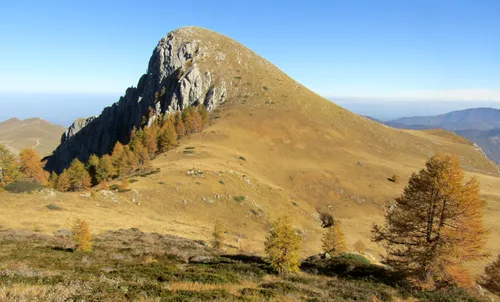 Monte Fantino Mountain, Magliano Alpi14 km S
-
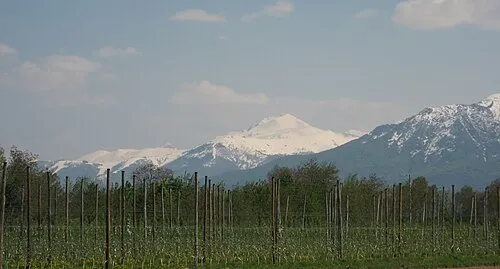 Mondolè Mountain, Magliano Alpi14 km S
-
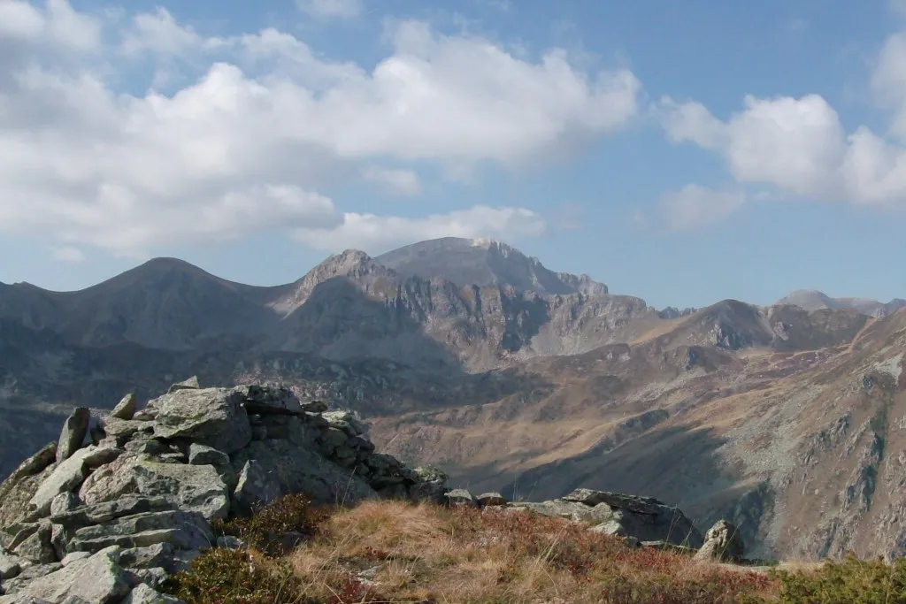 Monte Mongioie Mountain, Magliano Alpi19 km S
-
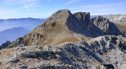 Bric di Canoia Mountain, Provence-Alpes-Côte d'Azur Region20 km S
-
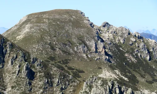 Cima Seirasso Mountain, Magliano Alpi16 km S
-
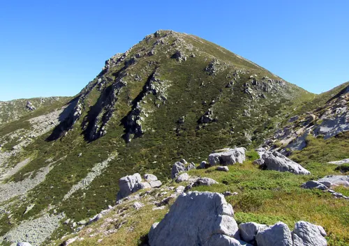 Cima Ferlette Mountain, Magliano Alpi17 km S
Sources & licences
Data last updated: