Fontaneto d'Agogna
Located in Province of Novara, Piedmont Coordinates: 45°38′36″ N 8°28′51″ E
- Population
- 2,651
- 2.7K
- Elevation
- 267 m
- above sea level
- Local time
- UTC+01:00
- Europe/Rome · UTC+01:00
- Places inside
- 21
- listed under Fontaneto d'Agogna
- Airports
- MXP Milan Malpensa International Airport19 km
- LUG Lugano Airport52 km
About Fontaneto d'Agogna
Fontaneto d'Agogna is a municipality. Location: Province of Novara, Piedmont. Population: 2,651. Elevation: 267 m. The best months to visit are May–September. The nearest airport is Milan Malpensa International Airport (19 km). Nearby sights include Monte del Falò and Isola San Giulio.
Climate of Fontaneto d'Agogna
Best months for sightseeingBest months for sightseeing: May–September.
This month · November
A cold month
Day 10° · Night 1° · Rain 79 mm
- Hottest month
- July (day 27°)
- Coldest month
- January (night -4°)
- Wettest month
- May (123 mm)
- Driest month
- December (46 mm)
Bars: average monthly low and high temperature. Below: precipitation. Monthly averages for 1970–2000 at about 18 km resolution, adjusted for elevation. Highlighted months are mild and relatively dry. Source: WorldClim 2.1 (CC BY 4.0).
Show values as a table
| Month | Jan | Feb | Mar | Apr | May | Jun | Jul | Aug | Sep | Oct | Nov | Dec |
|---|---|---|---|---|---|---|---|---|---|---|---|---|
| Average high (°C) | 6° | 8° | 13° | 16° | 21° | 24° | 27° | 27° | 23° | 16° | 10° | 6° |
| Average low (°C) | -4° | -2° | 2° | 5° | 10° | 13° | 16° | 15° | 12° | 7° | 1° | -3° |
| Precipitation (mm) | 55 | 61 | 82 | 92 | 123 | 91 | 60 | 87 | 81 | 98 | 79 | 46 |
Other places to visit in this season: May June July August September
How to get to Fontaneto d'Agogna
The nearest airport is Milan Malpensa International Airport (MXP), 19 km to the east as the crow flies. The nearest large city is Bern, 165 km to the northwest.
Airports
- Milan Malpensa International Airport (MXP) Ferno (VA) 19 kmeast
- Lugano Airport (LUG) Agno 52 kmnortheast
- Milano Linate Airport (LIN) Segrate (MI) 66 kmeast
Nearby large cities
- Bern Population: 121.6K 165 kmnorthwest
- Lausanne Population: 139.1K 173 kmnorthwest
- Geneva Population: 201.7K 191 kmwest
- Zurich Population: 415.4K 192 kmnorth
- Winterthur Population: 111.8K 208 kmnorth
Straight-line distances; road distances are longer. Airport data: OurAirports.
Day trips from Fontaneto d'Agogna
Within 100 km: 95 historic and cultural sites, 2,443 natural sites, 257 lakes, rivers and coasts.
0–25 km6 places
- Spiaggia del Sasso Cavallazzo Beach 19 kmNE
- Spiaggia dei Caravalle Beach 18 kmN
- Isola San Giulio Island 18 kmN
- Monte del Falò Mountain 23 kmN
25–60 km461 places
- Isole di Brissago Island 58 kmN
- Sant' Apollinare Island 58 kmN
- San Pancrazio Island 58 kmN
- Laghetto di Muzzano Lake 52 kmNE
60–100 km2,328 places
- Lago Nero Lake 90 kmN
- Lago Tremorgio Lake 95 kmN
- Lago Sfundau Lake 91 kmN
- Lago del Sambuco Lake 92 kmN
Straight-line distances.
Places in Fontaneto d'Agogna
21 places- 1 Fontaneto d'Agogna 1.2K
- 2 Cacciana 309
- 3 Sant'Antonio 291
- 4 Maggina 139
- 5 San Martino 100
- 6 Baraggia 70
- 7 San Pietro 56
- 8 Camuccioni 49
- 9 Croce 48
- 10 Balchi 42
- 11 Rampini 40
- 12 Storni 29
- 13 Molino Marco 28
- 14 Cascinetto 22
- 15 Manesco 22
- 16 Molino Nuovo 21
- 17 Tapulino 18
- 18 Ciavone 17
- 19 Vella 16
- 20 Sant'Ambrogio 14
- 21 Agogna 13
Bar: population relative to the most populous place in this list.
Nearby attractions & nature
Everything nearby-
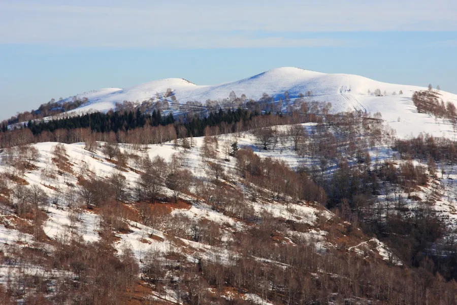 Monte del Falò Mountain, Armeno23 km N
-
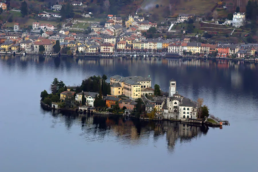 Isola San Giulio Island, Piedmont18 km N
-
Monte Trevigno Mountain, Cesara23 km NW
-
Monte Vesso Mountain, Civiasco24 km NW
-
Spiaggia dei Caravalle Beach, Ranco18 km N
-
Spiaggia del Sasso Cavallazzo Beach, Ranco19 km NE
Sources & licences
Data last updated: