Alagna Valsesia
Located in Province of Vercelli, Piedmont Coordinates: 45°51′03″ N 7°56′13″ E
- Population
- 708
- 708
- Elevation
- 1,174 m
- above sea level
- Local time
- UTC+01:00
- Europe/Rome · UTC+01:00
- Places inside
- 18
- listed under Alagna Valsesia
- Airports
- MXP Milan Malpensa International Airport66 km
- TRN Turin Airport76 km
About Alagna Valsesia
Alagna Valsesia is a municipality. Location: Province of Vercelli, Piedmont. Population: 708. Elevation: 1,174 m. The best months to visit are July–September. The nearest airport is Milan Malpensa International Airport (66 km). Nearby sights include Monte Tagliaferro and Corno Mud.
Photos of Alagna Valsesia
-
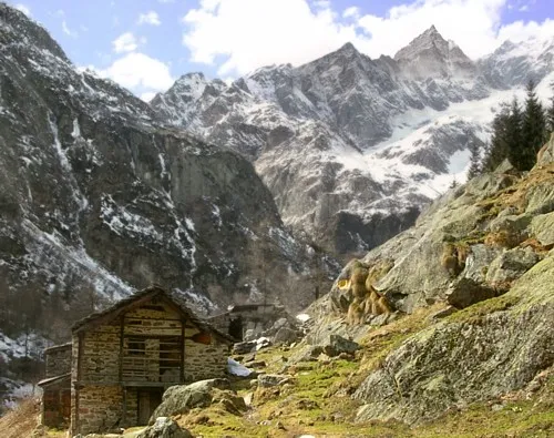
Punta Giordani No machine-readable author provided. Idéfix~commonswiki assumed · CC BY-SA 3.0 -
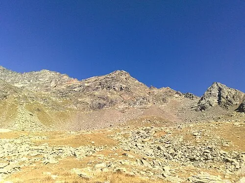
Corno di Faller Lemarquis · CC BY-SA 3.0 -
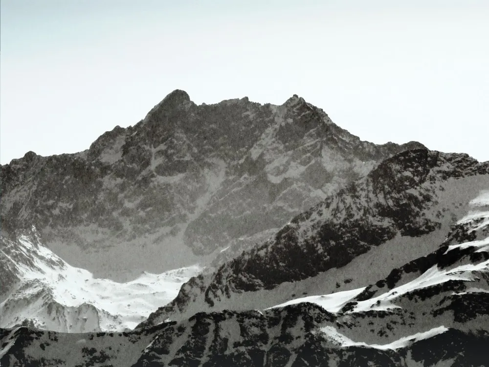
Corno Bianco Idéfix · CC BY-SA 4.0 -
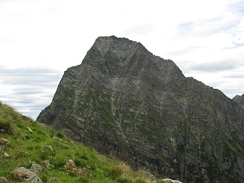
Monte Tagliaferro No machine-readable author provided. Cyrano de bergerac assumed · CC BY-SA 3.0 -
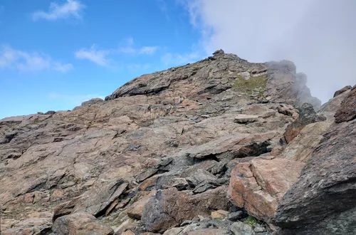
Corno Rosso Pampuco · CC BY-SA 4.0


Climate of Alagna Valsesia
Best months for sightseeingBest months for sightseeing: July–September.
This month · November
A cold month
Day 8° · Night 3° · Rain 62 mm
- Hottest month
- August (day 20°)
- Coldest month
- February (night -1°)
- Wettest month
- May (72 mm)
- Driest month
- February (50 mm)
Bars: average monthly low and high temperature. Below: precipitation. Monthly averages for 1970–2000 at about 18 km resolution, adjusted for elevation. Highlighted months are mild and relatively dry. Source: WorldClim 2.1 (CC BY 4.0).
Show values as a table
| Month | Jan | Feb | Mar | Apr | May | Jun | Jul | Aug | Sep | Oct | Nov | Dec |
|---|---|---|---|---|---|---|---|---|---|---|---|---|
| Average high (°C) | 5° | 5° | 6° | 8° | 12° | 16° | 19° | 20° | 17° | 13° | 8° | 6° |
| Average low (°C) | -1° | -1° | 0° | 2° | 6° | 9° | 13° | 13° | 11° | 7° | 3° | 0° |
| Precipitation (mm) | 53 | 50 | 62 | 67 | 72 | 62 | 54 | 62 | 58 | 70 | 62 | 50 |
How to get to Alagna Valsesia
The nearest airport is Milan Malpensa International Airport (MXP), 66 km to the east as the crow flies. The nearest large city is Lausanne, 125 km to the northwest.
Airports
- Milan Malpensa International Airport (MXP) Ferno (VA) 66 kmeast
- Turin Airport (TRN) Caselle Torinese (TO) 76 kmsouth
- Lugano Airport (LUG) Agno 77 kmeast
Nearby large cities
- Lausanne Population: 139.1K 125 kmnorthwest
- Bern Population: 121.6K 128 kmnorth
- Geneva Population: 201.7K 144 kmwest
- Zurich Population: 415.4K 175 kmnorth
- Grenoble Population: 158.6K 189 kmsouthwest
Straight-line distances; road distances are longer. Airport data: OurAirports.
Day trips from Alagna Valsesia
Within 100 km: 92 historic and cultural sites, 4,525 natural sites, 528 lakes, rivers and coasts.
0–25 km287 places
- Stausee Mattmark Lake 21 kmN
- Gornergratsee Lake 19 kmNW
- Stellisee Lake 21 kmNW
- Theodulgletschersee Lake 22 kmNW
25–60 km1,360 places
- Innersts Seewji Lake 45 kmN
- Illsee Lake 51 kmNW
- Stausee Gibidum Lake 58 kmN
- Gouilly d'en Haut Lake 58 kmNW
60–100 km3,498 places
- Strandbad Neuhaus Beach 92 kmN
- Strandbad Manor Farm Beach 93 kmN
- Strandbad Leissigen Beach 90 kmN
- Strandbad Iseltwald Beach 96 kmN
Straight-line distances.
Places in Alagna Valsesia
18 places- 1 Alagna Valsesia 301
- 2 Riva Valdobbia 146
- 3 Pedemonte 42
- 4 Dosso 17
- 5 Miniere 16
- 6 Boccorio 14
- 7 Piane 11
- 8 Sant'Antonio 10
- 9 Gabbio 5
- 10 Peccia 5
- 11 Vogna Sotto 5
- 12 Casa Verno 4
Bar: population relative to the most populous place in this list.
Mountains & nature6
- Corno Bianco · Mountain
- Corno del Camoscio · Mountain
- Corno di Faller · Mountain
- Punta Giordani · Mountain
- Punta Rizzetti · Mountain
- Punta Vittoria · Mountain
Nearby attractions & nature
Everything nearby-
Monte Tagliaferro Mountain, Alto Sermenza3.5 km NE
-
Corno Mud Mountain, Alto Sermenza4.3 km NE
-
Corno Rosso Mountain, Piedmont5.6 km W
-
Punta Starling Mountain, Piedmont4.9 km W
-
Corno Grosso Mountain, Piedmont5.6 km W
-
Monte Palanca Mountain, Valais6.5 km S
-
Punta Sparone Mountain, Campertogno6.6 km SE
-
Corno Carro Mountain, Gressoney-Saint-Jean7.6 km SW
Sources & licences
Data last updated: