Spiaggia di Punta Tegge
Located in Province of Sassari, Sardinia Coordinates: 41°12′41″ N 9°23′05″ E
- Elevation
- 1 m
- above sea level
- Local time
- UTC+01:00
- Europe/Rome · UTC+01:00
- Airports
- OLB Olbia Costa Smeralda Airport36 km
- FSC Figari Sud-Corse Airport40 km
About Spiaggia di Punta Tegge
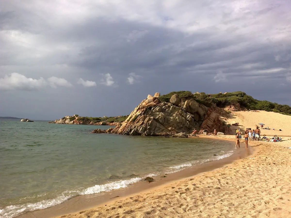
Spiaggia di Punta Tegge is a beach. Location: Province of Sassari, Sardinia. The best months to visit are May–July, September–October. The nearest airport is Olbia Costa Smeralda Airport (36 km). Nearby sights include Spiaggia di Cala Martinella and Spiaggia Cala d'Inferno.
Photos of Spiaggia di Punta Tegge
-
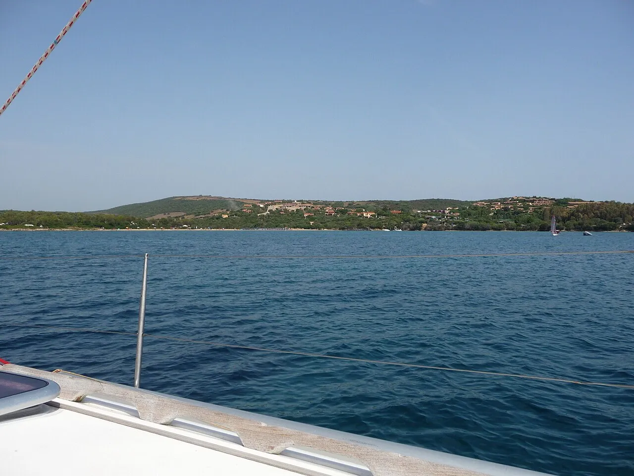
Spiaggia del Golfo delle Saline Patrick Nouhailler's… · CC BY-SA 3.0 -
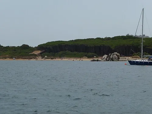
Spiaggia dell'Isolotto Patrick Nouhailler's… · CC BY-SA 3.0 -
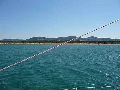
Spiaggia La liscia Patrick Nouhailler's… · CC BY-SA 3.0 -
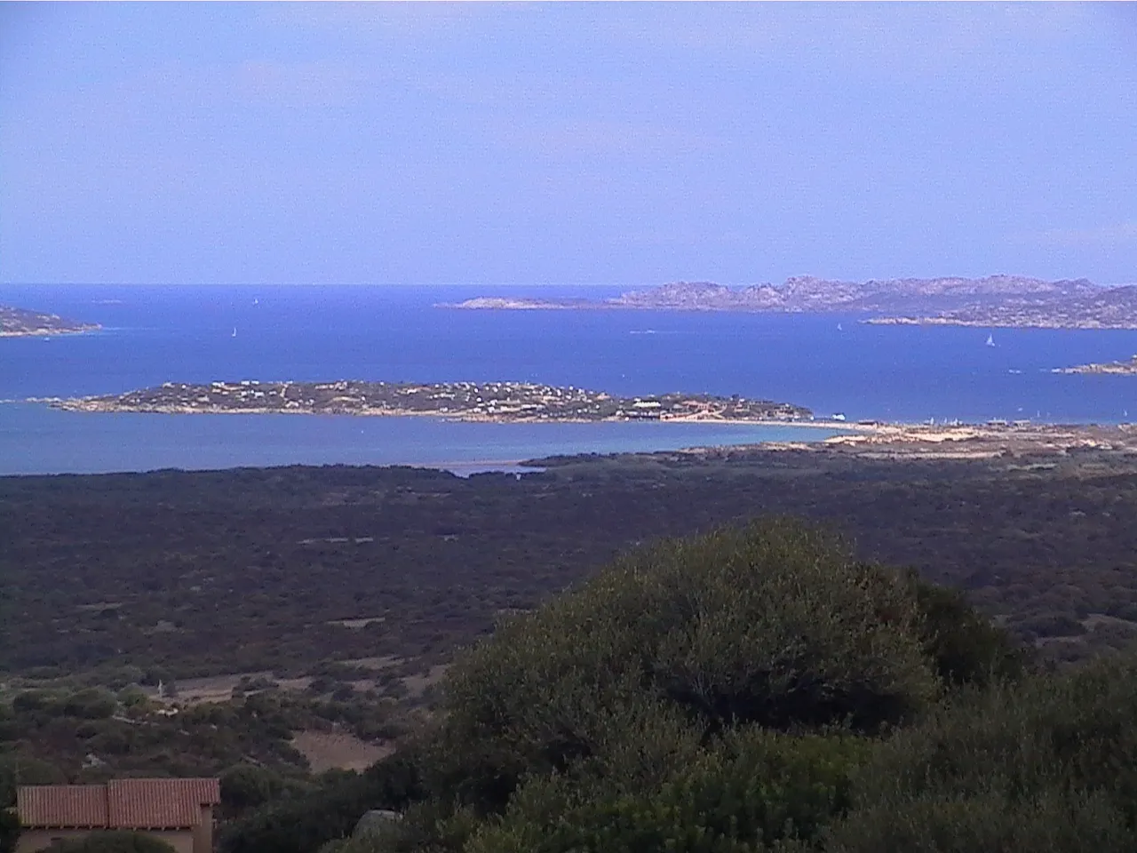
Spiaggia Delle Dune Lory2k · Public domain -
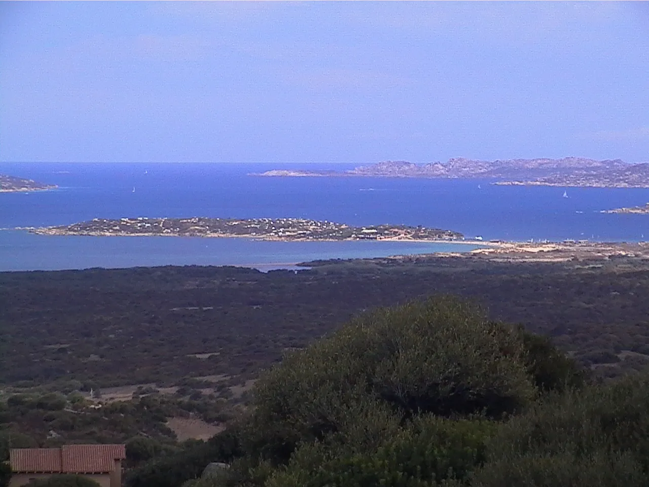
Spiaggia dell'Isola dei Gabbiani Lory2k · Public domain


Climate of Spiaggia di Punta Tegge
Best months for sightseeingBest months for sightseeing: May–July, September–October.
This month · November
Outside the best season
Day 17° · Night 12° · Rain 58 mm
- Hottest month
- August (day 28°)
- Coldest month
- February (night 8°)
- Wettest month
- December (72 mm)
- Driest month
- July (7 mm)
Bars: average monthly low and high temperature. Below: precipitation. Monthly averages for 1970–2000 at about 18 km resolution, adjusted for elevation. Highlighted months are mild and relatively dry. Source: WorldClim 2.1 (CC BY 4.0).
Show values as a table
| Month | Jan | Feb | Mar | Apr | May | Jun | Jul | Aug | Sep | Oct | Nov | Dec |
|---|---|---|---|---|---|---|---|---|---|---|---|---|
| Average high (°C) | 13° | 13° | 15° | 17° | 21° | 24° | 28° | 28° | 25° | 21° | 17° | 14° |
| Average low (°C) | 8° | 8° | 9° | 11° | 14° | 18° | 21° | 22° | 19° | 16° | 12° | 10° |
| Precipitation (mm) | 41 | 45 | 47 | 38 | 24 | 12 | 7 | 18 | 28 | 61 | 58 | 72 |
Other places to visit in this season: May June July September October
How to get to Spiaggia di Punta Tegge
The nearest airport is Olbia Costa Smeralda Airport (OLB), 36 km to the south as the crow flies. The nearest large city is Nice, 327 km to the northwest.
Airports
- Olbia Costa Smeralda Airport (OLB) Olbia (SS) 36 kmsouth
- Figari Sud-Corse Airport (FSC) Figari 40 kmnorthwest
- Ajaccio Napoléon Bonaparte airport (AJA) Ajaccio 93 kmnorthwest
Nearby large cities
- Nice Population: 342.7K 327 kmnorthwest
- Toulon Population: 168.7K 356 kmnorthwest
Straight-line distances; road distances are longer. Airport data: OurAirports.
Day trips from Spiaggia di Punta Tegge
Within 100 km: 60 historic and cultural sites, 248 natural sites, 233 lakes, rivers and coasts.
0–25 km82 places
- Îles Sperduto Island 19 kmN
- Îles Lavezzi Island 18 kmNW
- Archipel des Lavezzi Island 19 kmNW
- Étang de Sperono Lake 23 kmNW
25–60 km168 places
- Plage de Carataggio Beach 40 kmN
- Plage de Roccapina Beach 49 kmNW
- Plage de Figari Beach 39 kmNW
- Plage de Pargan Beach 30 kmNW
60–100 km291 places
- Asinara Island 95 kmW
- Plage du Ruppione Beach 85 kmNW
- Plage d'Albitreccia Beach 87 kmNW
- Plage de Cupabia Beach 77 kmNW
Straight-line distances.
Nearest towns and villages
-
La Maddalena Municipality, Province of Sassari2.5 km NE
-
La Maddalena Town, La Maddalena2 km E
-
Palau Municipality, Province of Sassari3.7 km S
-
Palau Village, Palau3.6 km S
-
 Porto Pollo Village, Palau5.6 km SW
-
Arzachena Municipality, Province of Sassari15 km S
Nearby attractions & nature
Everything nearby-
Spiaggia di Cala Martinella Beach, Palau1.9 km SW
-
Spiaggia Cala d'Inferno Beach, La Maddalena2.4 km N
-
Spiaggia di Porto Rafael Beach, Palau2.6 km SW
-
Spiaggia di Cala di Trana Beach, Palau2.8 km W
-
Spiaggia di Nelson Beach, Palau2.9 km SW
-
Spiaggia de La Galatea Beach, Palau3 km S
-
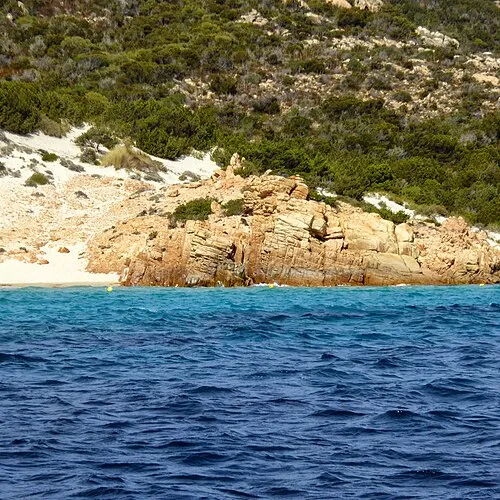 Spaggia Soraya Beach, Province of Sassari3.6 km NW
-
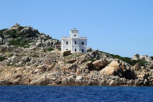 Punta Sardegna Lighthouse Landmark, Palau1.9 km W
More lakes, rivers and coasts in Italy
-
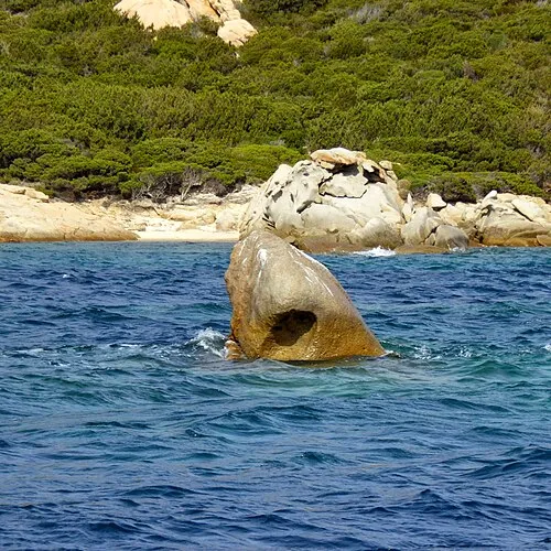 Spiaggia di Cala Corsara Beach, La Maddalena4 km NW
-
Spiaggia dell'Isolotto Beach, Palau3.5 km S
-
Spiaggia Punta Don Diego Beach, Palau3.4 km S
-
 Spiaggia Monti dell'Arena Beach, La Maddalena4.9 km NE
-
Spiaggia di Baia Saraceno Beach, Palau3.8 km S
-
Spiaggia di Talmone Beach, Palau4 km W
Sources & licences
Data last updated: · 2 independent sources