- Population
- 12,786
- 12.8K
- Elevation
- 99 m
- above sea level
- Local time
- UTC+01:00
- Europe/Rome · UTC+01:00
- Places inside
- 7
- listed under Loreto
- Airports
- AOI Marche Airport28 km
- PEG Perugia San Francesco d'Assisi – Umbria International Airport97 km
About Loreto
Loreto is a municipality. Location: Province of Ancona, The Marches. Population: 12,786. Elevation: 99 m. The best months to visit are May–June, September–October. The nearest airport is Marche Airport (28 km). Nearby sights include Monte Tabor and Valle Cantalupo.
Photos of Loreto
-
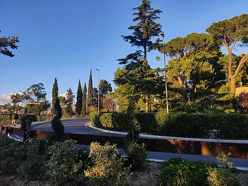
Monte Tabor Ilaria Giuliodori · CC BY-SA 4.0 -
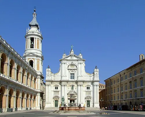
Shrine of the Holy House Loreto250706.JPG : Mroselli derivative work: Rabanus Flavus · CC BY-SA 2.5


Climate of Loreto
Best months for sightseeingBest months for sightseeing: May–June, September–October.
This month · November
Outside the best season
Day 14° · Night 6° · Rain 77 mm
- Hottest month
- July (day 29°)
- Coldest month
- January (night 1°)
- Wettest month
- November (77 mm)
- Driest month
- July (43 mm)
Bars: average monthly low and high temperature. Below: precipitation. Monthly averages for 1970–2000 at about 18 km resolution, adjusted for elevation. Highlighted months are mild and relatively dry. Source: WorldClim 2.1 (CC BY 4.0).
Show values as a table
| Month | Jan | Feb | Mar | Apr | May | Jun | Jul | Aug | Sep | Oct | Nov | Dec |
|---|---|---|---|---|---|---|---|---|---|---|---|---|
| Average high (°C) | 9° | 10° | 14° | 17° | 22° | 26° | 29° | 29° | 25° | 20° | 14° | 10° |
| Average low (°C) | 1° | 2° | 4° | 7° | 11° | 15° | 17° | 17° | 14° | 10° | 6° | 3° |
| Precipitation (mm) | 46 | 44 | 54 | 58 | 49 | 58 | 43 | 63 | 70 | 72 | 77 | 59 |
Other places to visit in this season: May June September October
How to get to Loreto
The nearest airport is Marche Airport (AOI), 28 km to the northwest as the crow flies. For international flights: Perugia San Francesco d'Assisi – Umbria International Airport (PEG) (97 km). The nearest large city is Rijeka, 220 km to the north.
Airports
- Marche Airport (AOI) Falconara Marittima (AN) 28 kmnorthwest
- Perugia San Francesco d'Assisi – Umbria International Airport (PEG) Perugia (PG) 97 kmsouthwest
- Federico Fellini International Airport (RMI) Rimini (RN) 103 kmnorthwest
Nearby large cities
- Rijeka Population: 108K 220 kmnorth
- Split Population: 149.8K 229 kmeast
- Ljubljana Population: 272.2K 299 kmnorth
- Zagreb Population: 663.6K 324 kmnortheast
- Klagenfurt Population: 100.3K 359 kmnorth
Straight-line distances; road distances are longer. Airport data: OurAirports.
Day trips from Loreto
Within 100 km: 41 historic and cultural sites, 144 natural sites, 49 lakes, rivers and coasts.
0–25 km24 places
- Spiaggia Porto Sant'Elpidio Beach 23 kmSE
- La Playa de Cococciò Beach 21 kmSE
- Spiaggia di Collemarino Beach 25 kmNW
- Spiaggia di Portocivitanova Beach 18 kmSE
25–60 km64 places
- Bersaglio Beach 28 kmNW
- Spiaggia Marina Palmense Beach 36 kmSE
- Spiaggia Lido di Fermo Beach 29 kmSE
- Spiaggia Cupra Marittima Beach 50 kmSE
60–100 km146 places
- Appennino Umbro Mountain 88 kmW
- Monte del Pantano Mountain 89 kmW
- Giulianova Beach Beach 79 kmS
- Augusto Stefano Beach 93 kmNW
Straight-line distances.
Places in Loreto
7 places- 1 Loreto 7.2K
- 2 Villa Musone 2.2K
- 3 Loreto Stazione 1.3K
- 4 Le Grotte 397
- 5 Costabianca 274
- 6 Montorso 273
Bar: population relative to the most populous place in this list.
Heritage & sights1
- Shrine of the Holy House · Attraction
Nearby attractions & nature
Everything nearby-
Monte Tabor Mountain, Recanati6.7 km SW
-
Valle Cantalupo Natural site, The Marches6.2 km W
-
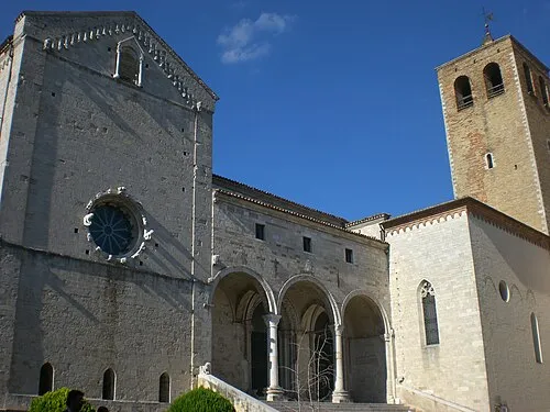 Osimo Cathedral Attraction, Osimo12 km NW
-
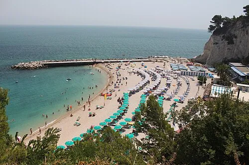 Spiaggia Urbani Beach, Sirolo9.8 km N
-
Monte Larciano Mountain, Ancona11 km N
-
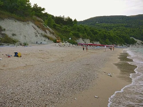 Spiaggia di San Michele Beach, Sirolo11 km N
-
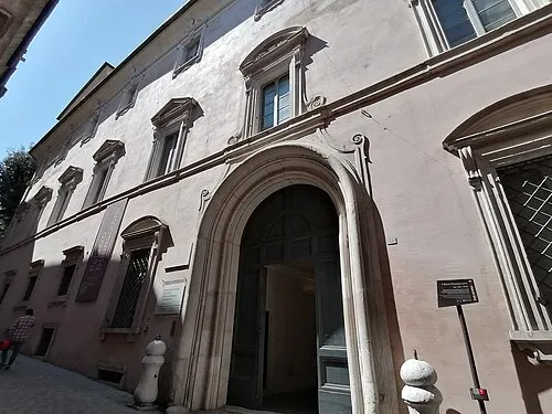 Palazzo Buonaccorsi Historic site, Macerata20 km SW
-
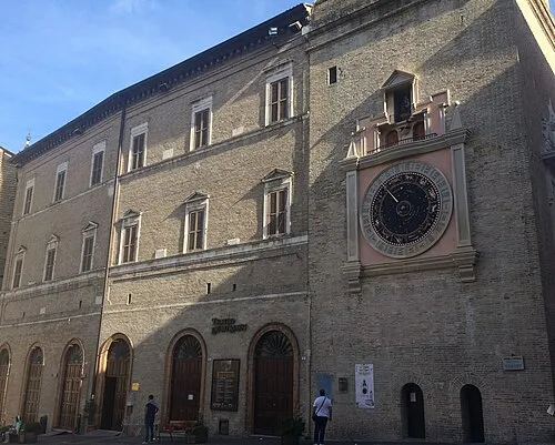 Teatro Lauro Rossi Attraction, Macerata20 km SW
Sources & licences
Data last updated: