- Population
- 2,977
- 3K
- Elevation
- 350 m
- above sea level
- Local time
- UTC+01:00
- Europe/Rome · UTC+01:00
- Airports
- BZO Bolzano Airport29 km
- INN Innsbruck Airport66 km
About Algund
Algund is a village. Location: Lagundo/Algund, South Tyrol. Population: 2,977. Elevation: 350 m. The best months to visit are May–September. The nearest airport is Bolzano Airport (29 km). Nearby sights include Punta Rossa and Hohe Weisse.
Climate of Algund
Best months for sightseeingBest months for sightseeing: May–September.
This month · November
A cold month
Day 12° · Night 6° · Rain 60 mm
- Hottest month
- July (day 25°)
- Coldest month
- February (night 2°)
- Wettest month
- July (97 mm)
- Driest month
- February (42 mm)
Bars: average monthly low and high temperature. Below: precipitation. Monthly averages for 1970–2000 at about 18 km resolution, adjusted for elevation. Highlighted months are mild and relatively dry. Source: WorldClim 2.1 (CC BY 4.0).
Show values as a table
| Month | Jan | Feb | Mar | Apr | May | Jun | Jul | Aug | Sep | Oct | Nov | Dec |
|---|---|---|---|---|---|---|---|---|---|---|---|---|
| Average high (°C) | 8° | 9° | 11° | 14° | 19° | 22° | 25° | 25° | 22° | 17° | 12° | 9° |
| Average low (°C) | 2° | 2° | 4° | 6° | 11° | 14° | 17° | 17° | 14° | 11° | 6° | 3° |
| Precipitation (mm) | 46 | 42 | 57 | 63 | 73 | 91 | 97 | 90 | 68 | 62 | 60 | 50 |
Other places to visit in this season: May June July August September
How to get to Algund
The nearest airport is Bolzano Airport (BZO), 29 km to the southeast as the crow flies. For international flights: Innsbruck Airport (INN) (66 km). The nearest large city is Innsbruck, 68 km to the north.
Airports
- Bolzano Airport (BZO) Bolzano (BZ) 29 kmsoutheast
- Innsbruck Airport (INN) Innsbruck 66 kmnorth
- Treviso Airport (TSF) Treviso (TV) 141 kmsoutheast
Nearby large cities
- Innsbruck Population: 132.5K 68 kmnorth
- Munich Population: 1.5M 165 kmnorth
- Augsburg Population: 301.1K 189 kmnorth
- Salzburg Population: 157.2K 191 kmnortheast
- Winterthur Population: 111.8K 204 kmnorthwest
Straight-line distances; road distances are longer. Airport data: OurAirports.
Day trips from Algund
Within 100 km: 63 historic and cultural sites, 4,624 natural sites, 423 lakes, rivers and coasts.
0–25 km110 places
- Vorderer Seelenkogl Mountain 17 kmNW
- Guardia Alta Mountain 21 kmNW
- Schalfkogl Mountain 18 kmNW
- Ramolkogel Mountain 22 kmNW
25–60 km1,120 places
- Lai da Costainas Lake 53 kmW
- Lai da Valpaschun Lake 56 kmW
- Lai da Minschuns Lake 51 kmW
- Lai da Sesvenna Lake 55 kmW
60–100 km3,880 places
- Spadalone Mountain 68 kmSW
- Lago di Poschiavo Lake 91 kmSW
- Lej Languard Lake 93 kmW
- Lago Bianco Lake 90 kmW
Straight-line distances.
Nearby attractions & nature
Everything nearby-
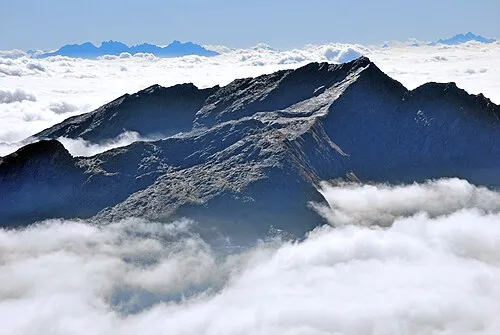 Punta Rossa Mountain, Rifiano/Riffian8.2 km N
-
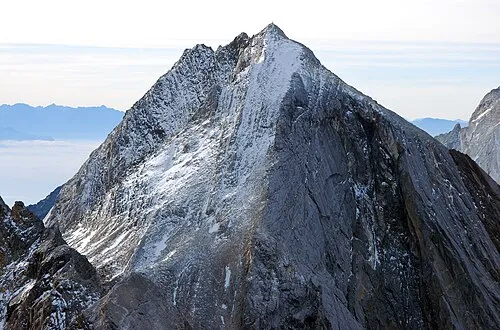 Hohe Weisse Mountain, Moso in Passiria/Moos in Passeier9.9 km NW
-
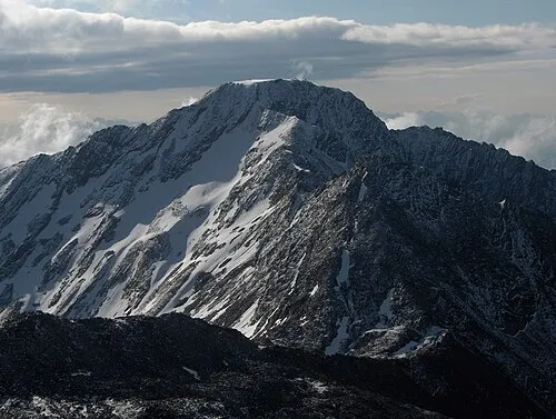 Gfallwand - Croda del Tovale Mountain, Parcines/Partschins10 km W
-
La Clava Mountain, Moso in Passiria/Moos in Passeier10 km N
-
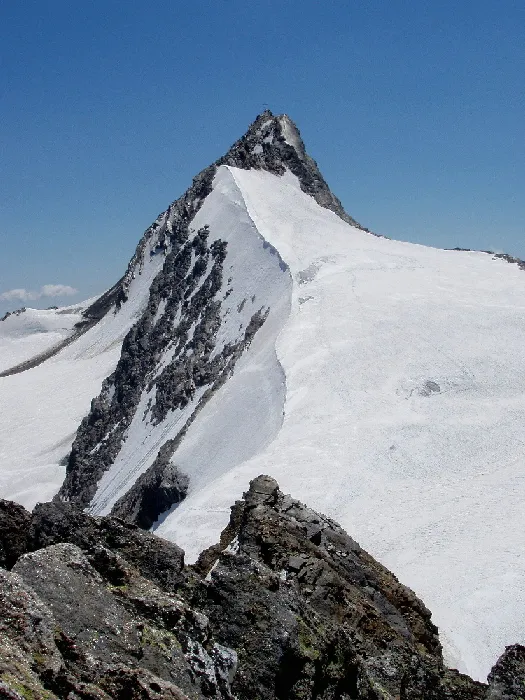 Hochwilde Mountain, Schnals12 km NW
-
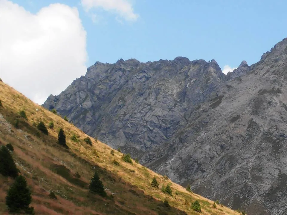 Vorderplattspitze Mountain, Sarentino/Sarntal12 km E
Sources & licences
Data last updated: