Podenzana
Located in Province of Massa-Carrara, Tuscany Coordinates: 44°12′22″ N 9°56′31″ E
- Population
- 2,140
- 2.1K
- Elevation
- 276 m
- above sea level
- Local time
- UTC+01:00
- Europe/Rome · UTC+01:00
- Places inside
- 20
- listed under Podenzana
- Airports
- PSA Pisa International Airport68 km
- PMF Parma Airport74 km
About Podenzana
Podenzana is a municipality. Location: Province of Massa-Carrara, Tuscany. Population: 2,140. Elevation: 276 m. The best months to visit are May–September. The nearest airport is Pisa International Airport (68 km). Nearby sights include Stadio Alberto Picco and Alpe di Succiso.
Climate of Podenzana
Best months for sightseeingBest months for sightseeing: May–September.
This month · November
A wet month
Day 12° · Night 4° · Rain 162 mm
- Hottest month
- July (day 28°)
- Coldest month
- January (night 0°)
- Wettest month
- October (166 mm)
- Driest month
- July (36 mm)
Bars: average monthly low and high temperature. Below: precipitation. Monthly averages for 1970–2000 at about 18 km resolution, adjusted for elevation. Highlighted months are mild and relatively dry. Source: WorldClim 2.1 (CC BY 4.0).
Show values as a table
| Month | Jan | Feb | Mar | Apr | May | Jun | Jul | Aug | Sep | Oct | Nov | Dec |
|---|---|---|---|---|---|---|---|---|---|---|---|---|
| Average high (°C) | 8° | 9° | 13° | 15° | 20° | 24° | 28° | 27° | 23° | 18° | 12° | 9° |
| Average low (°C) | 0° | 1° | 3° | 6° | 10° | 13° | 15° | 15° | 12° | 9° | 4° | 2° |
| Precipitation (mm) | 128 | 97 | 107 | 110 | 83 | 70 | 36 | 71 | 106 | 166 | 162 | 128 |
Other places to visit in this season: May June July August September
How to get to Podenzana
The nearest airport is Pisa International Airport (PSA), 68 km to the southeast as the crow flies. The nearest large city is Nice, 222 km to the west.
Airports
- Pisa International Airport (PSA) Pisa (PI) 68 kmsoutheast
- Parma Airport (PMF) Parma (PR) 74 kmnorth
- Genoa Cristoforo Colombo Airport (GOA) Genova (GE) 91 kmwest
Nearby large cities
- Nice Population: 342.7K 222 kmwest
- Toulon Population: 168.7K 345 kmwest
- Grenoble Population: 158.6K 352 kmwest
- Innsbruck Population: 132.5K 358 kmnorth
- Bern Population: 121.6K 362 kmnorthwest
Straight-line distances; road distances are longer. Airport data: OurAirports.
Day trips from Podenzana
Within 100 km: 44 historic and cultural sites, 270 natural sites, 35 lakes, rivers and coasts.
0–25 km23 places
- Spiaggia della Marinella di San Terenzo Beach 14 kmS
- Spiaggia Marinella di Sarzana Beach 19 kmS
- La Goletta Beach Beach 18 kmS
- Spiaggia Fiumaretta di Ameglia Beach 18 kmS
25–60 km115 places
- Rotteri Mountain 60 kmNW
- Bagni Pagana Beach 59 kmW
- La Lecciona Beach 48 kmSE
- La Spiaggia di Levanto Beach 27 kmW
60–100 km211 places
- Poggio di Iavello Mountain 95 kmE
- Gifarco Mountain 61 kmNW
- Cala del Leone Beach 89 kmS
- Spiaggia di Calignaia Beach 89 kmS
Straight-line distances.
Places in Podenzana
20 places- 1 Podenzana 1.8K
- 2 Montale 524
- 3 Bagni 397
- 4 Pagliadiccio 250
- 5 Casa Borsi 111
- 6 Serralta 98
- 7 Croce-Pianello 54
- 8 Montedivalli-Chiesa 53
- 9 Cereseto 48
- 10 Loppiedo 48
- 11 Barco 46
- 12 Prato 36
- 13 La Costa 27
- 14 Metti 25
- 15 Cerghiraro 24
- 16 Vaggi 23
- 17 Boschetto 17
- 18 Calcinara 16
- 19 Fogana 15
- 20 Genicciola 13
Bar: population relative to the most populous place in this list.
Nearby attractions & nature
Everything nearby-
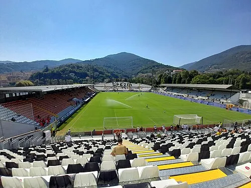 Stadio Alberto Picco Landmark, La Spezia16 km SW
-
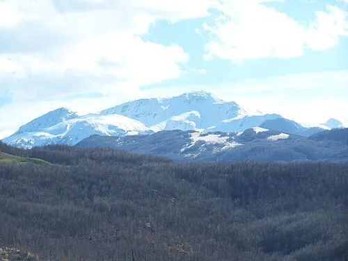 Alpe di Succiso Mountain, Ventasso25 km NE
-
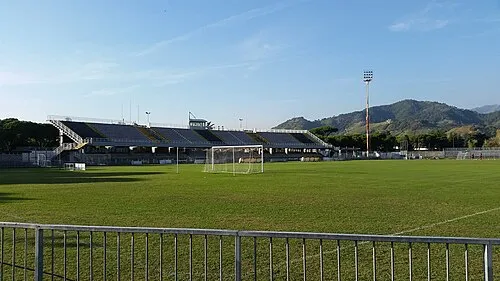 Stadio degli Oliveti Landmark, Massa24 km SE
-
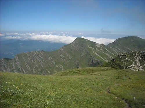 Monte Braiola Mountain, Emilia-Romagna22 km N
-
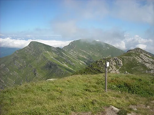 Monte Orsaro Mountain, Pontremoli23 km N
-
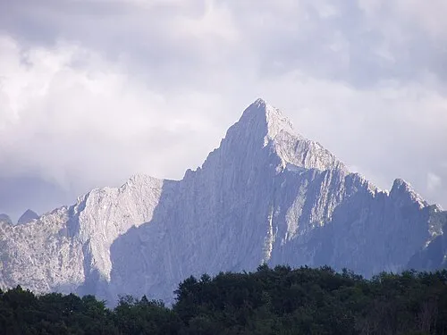 Monte Pizzo d'Uccello Mountain, Fivizzano21 km E
-
Monte Contrario Mountain, Massa23 km SE
-
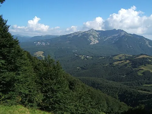 Monte La Nuda Mountain, Fivizzano25 km E
Sources & licences
Data last updated: