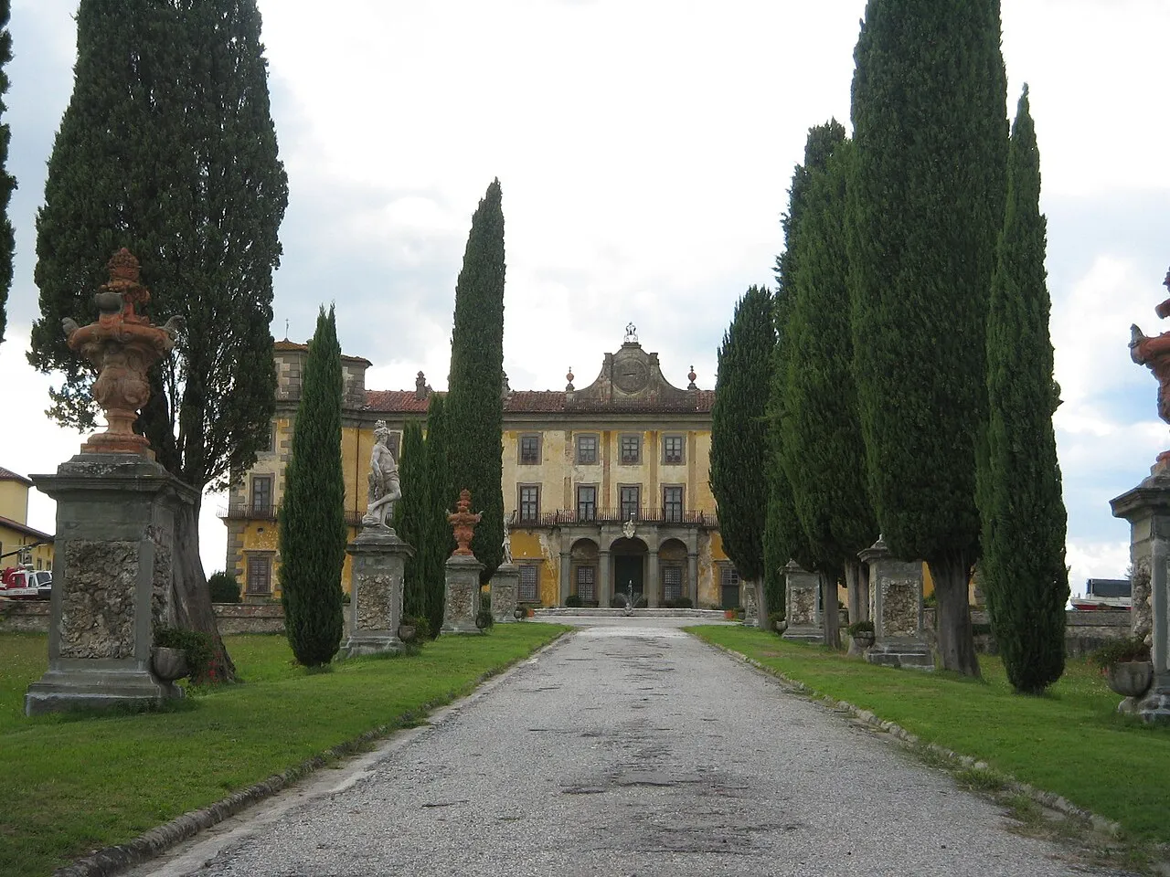
- Population
- 292,473
- 292.5K
- Elevation
- 623 m
- above sea level
- Local time
- UTC+01:00
- Europe/Rome · UTC+01:00
- Places inside
- 20
- listed under Province of Pistoia
- Airports
- FLR Florence Airport, Peretola34 km
- PSA Pisa International Airport47 km
About Province of Pistoia
Province of Pistoia is a district. Location: Tuscany, Italy. Population: 292,473. The best months to visit are June–September. The nearest airport is Florence Airport, Peretola (34 km). Nearby sights include Museo dell'Opera del Duomo and Castello dell'Imperatore.
Photos of Province of Pistoia
-
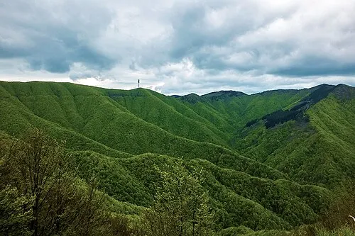
Monte la Croce Luciano Bernardi · CC BY-SA 4.0 -
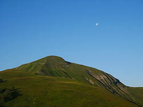
Monte Spigolino Naioli · CC BY-SA 4.0 -
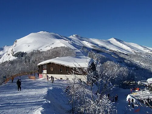
Monte Gomito Innocenti.rob · CC BY 3.0 -
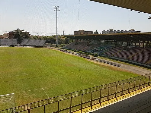
Stadio Marcello Melani Boris Maric · CC0


Climate of Province of Pistoia
Best months for sightseeingBest months for sightseeing: June–September.
This month · November
A wet month
Day 11° · Night 3° · Rain 164 mm
- Hottest month
- August (day 26°)
- Coldest month
- January (night -1°)
- Wettest month
- November (164 mm)
- Driest month
- July (43 mm)
Bars: average monthly low and high temperature. Below: precipitation. Monthly averages for 1970–2000 at about 18 km resolution, adjusted for elevation. Highlighted months are mild and relatively dry. Source: WorldClim 2.1 (CC BY 4.0).
Show values as a table
| Month | Jan | Feb | Mar | Apr | May | Jun | Jul | Aug | Sep | Oct | Nov | Dec |
|---|---|---|---|---|---|---|---|---|---|---|---|---|
| Average high (°C) | 7° | 8° | 11° | 14° | 19° | 22° | 26° | 26° | 22° | 17° | 11° | 8° |
| Average low (°C) | -1° | -1° | 2° | 4° | 8° | 11° | 14° | 14° | 11° | 7° | 3° | 0° |
| Precipitation (mm) | 115 | 95 | 106 | 120 | 83 | 72 | 43 | 72 | 113 | 152 | 164 | 128 |
Other places to visit in this season: June July August September
How to get to Province of Pistoia
The nearest airport is Florence Airport, Peretola (FLR), 34 km to the southeast as the crow flies. The nearest large city is Nice, 288 km to the west.
Airports
- Florence Airport, Peretola (FLR) Firenze (FI) 34 kmsoutheast
- Pisa International Airport (PSA) Pisa (PI) 47 kmsouthwest
- Bologna Guglielmo Marconi Airport (BLQ) Bologna 73 kmnortheast
Nearby large cities
- Nice Population: 342.7K 288 kmwest
- Rijeka Population: 108K 324 kmnortheast
- Innsbruck Population: 132.5K 369 kmnorth
- Ljubljana Population: 272.2K 371 kmnortheast
Straight-line distances; road distances are longer. Airport data: OurAirports.
Day trips from Province of Pistoia
Within 100 km: 68 historic and cultural sites, 199 natural sites, 29 lakes, rivers and coasts.
0–25 km61 places
- Poggio di Iavello Mountain 20 kmE
- I Fornelli Mountain 25 kmSE
- Poggio Ferrato Mountain 20 kmE
- Monte la Croce Mountain 15 kmNE
25–60 km102 places
- La Lecciona Beach 49 kmW
- Spiaggia Forte dei Marmi Beach 54 kmW
- Spiaggia Marina di Pietrasanta Beach 51 kmW
- Spiaggia Lido di Camaiore Beach 50 kmW
60–100 km133 places
- Cormorano Beach 84 kmS
- Cala del Leone Beach 68 kmSW
- Spiaggia di Calignaia Beach 68 kmSW
- Spiaggia per Cani Beach 66 kmSW
Straight-line distances.
Places in Province of Pistoia
20 places- 1 Pistoia 90.4K
- 2 Quarrata 26.7K
- 3 Monsummano Terme 21.2K
- 4 Montecatini Terme 20.7K
- 5 Pescia 19.7K
- 6 Agliana 17.9K
- 7 Serravalle Pistoiese 11.7K
- 8 Montale 10.8K
- 9 Pieve a Nievole 9.2K
- 10 Buggiano 8.9K
- 11 Ponte Buggianese 8.9K
- 12 San Marcello Piteglio 7.9K
- 13 Massa e Cozzile 7.9K
- 14 Lamporecchio 7.4K
- 15 Larciano 6.3K
- 16 Uzzano 5.7K
- 17 Chiesina Uzzanese 4.5K
- 18 Marliana 3.2K
- 19 Abetone Cutigliano 2K
- 20 Sambuca Pistoiese 1.6K
Bar: population relative to the most populous place in this list.
Nature and heritage in Province of Pistoia
Nearby attractions & nature
Everything nearby-
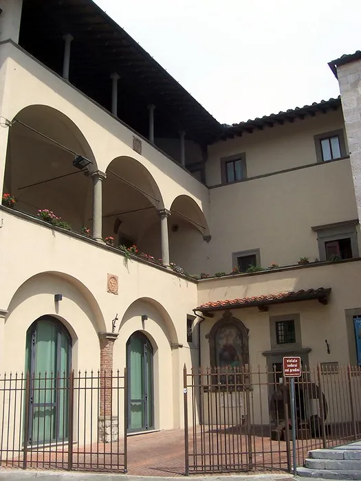 Museo dell'Opera del Duomo Museum, Prato23 km SE
-
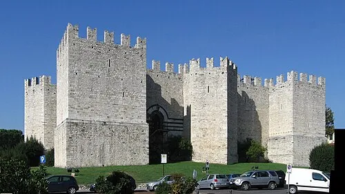 Castello dell'Imperatore Historic site, Prato23 km SE
-
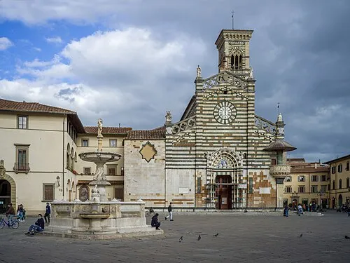 Prato Cathedral Attraction, Prato23 km SE
-
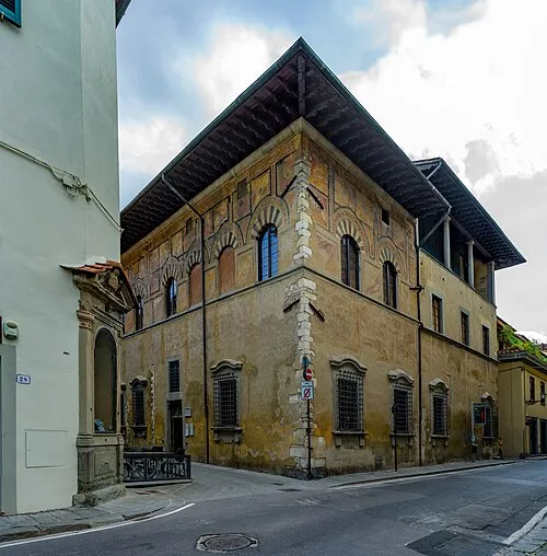 Palazzo Datini Historic site, Prato23 km SE
-
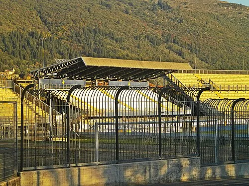 Stadio Lungobisenzio Landmark, Prato24 km SE
-
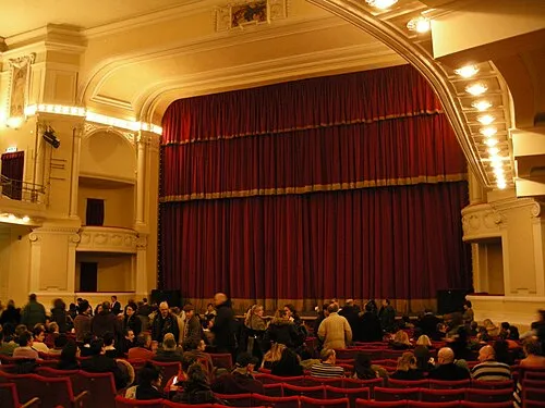 Teatro Politeama Attraction, Prato23 km SE
Sources & licences
Data last updated: