
- Population
- 58
- 58
- Elevation
- 291 m
- above sea level
- Local time
- UTC+01:00
- Europe/Rome · UTC+01:00
- Airports
- FLR Florence Airport, Peretola72 km
- PEG Perugia San Francesco d'Assisi – Umbria International Airport92 km
About Lupompesi
Lupompesi is a village. Location: Murlo, Province of Siena. Population: 58. Elevation: 291 m. The best months to visit are May–July, September–October. The nearest airport is Florence Airport, Peretola (72 km). Nearby sights include Torre del Mangia and Pinacoteca Nazionale.
Photos of Lupompesi
-

LigaDue · CC BY-SA 4.0

Climate of Lupompesi
Best months for sightseeingBest months for sightseeing: May–July, September–October.
This month · November
Outside the best season
Day 14° · Night 6° · Rain 93 mm
- Hottest month
- July (day 29°)
- Coldest month
- January (night 2°)
- Wettest month
- November (93 mm)
- Driest month
- July (27 mm)
Bars: average monthly low and high temperature. Below: precipitation. Monthly averages for 1970–2000 at about 18 km resolution, adjusted for elevation. Highlighted months are mild and relatively dry. Source: WorldClim 2.1 (CC BY 4.0).
Show values as a table
| Month | Jan | Feb | Mar | Apr | May | Jun | Jul | Aug | Sep | Oct | Nov | Dec |
|---|---|---|---|---|---|---|---|---|---|---|---|---|
| Average high (°C) | 9° | 11° | 13° | 17° | 21° | 25° | 29° | 29° | 25° | 19° | 14° | 9° |
| Average low (°C) | 2° | 2° | 4° | 7° | 11° | 14° | 17° | 17° | 14° | 10° | 6° | 3° |
| Precipitation (mm) | 54 | 55 | 56 | 63 | 54 | 48 | 27 | 39 | 63 | 86 | 93 | 72 |
Other places to visit in this season: May June July September October
How to get to Lupompesi
The nearest airport is Florence Airport, Peretola (FLR), 72 km to the north as the crow flies. The nearest large city is Nice, 339 km to the west.
Airports
- Florence Airport, Peretola (FLR) Firenze (FI) 72 kmnorth
- Perugia San Francesco d'Assisi – Umbria International Airport (PEG) Perugia (PG) 92 kmeast
- Pisa International Airport (PSA) Pisa (PI) 98 kmnorthwest
Nearby large cities
- Nice Population: 342.7K 339 kmwest
- Rijeka Population: 108K 342 kmnortheast
Straight-line distances; road distances are longer. Airport data: OurAirports.
Day trips from Lupompesi
Within 100 km: 137 historic and cultural sites, 199 natural sites, 53 lakes, rivers and coasts.
0–25 km13 places
- Le Masse di Siena Mountain 14 kmN
- Montagnola Mountain 20 kmNW
- Val di Lama Natural site 9 kmNE
- Castello di Montarrenti Historic site 18 kmW
25–60 km127 places
- Poggio Mosconcino Mountain 44 kmSW
- Parco della Rimembranza Natural site 51 kmSW
- Parco di Villa Pizzetti Natural site 52 kmSW
- Parco del fiume Ombrone Silvano Signori Natural site 51 kmSW
60–100 km249 places
- Appennino Umbro Mountain 97 kmE
- Poggio di Iavello Mountain 91 kmN
- Ultima Spiaggia Beach 89 kmS
- Siaggia delle graticciare Beach 89 kmS
Straight-line distances.
Nearby attractions & nature
Everything nearby-
 Torre del Mangia Landmark, Siena16 km N
-
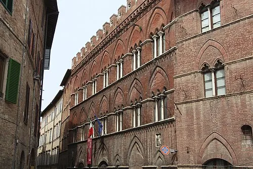 Pinacoteca Nazionale Museum, Siena16 km N
-
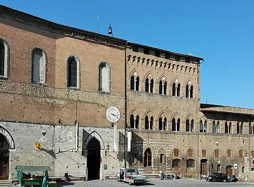 Santa Maria della Scala Museum, Siena16 km N
-
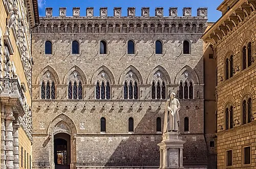 Palazzo Salimbeni Historic site, Siena17 km N
-
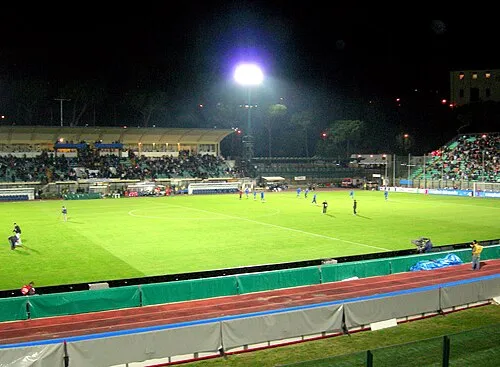 Stadio Comunale "Artemio Franchi" Landmark, Siena17 km N
-
Val di Lama Natural site, Tuscany9.1 km NE
Other cities and towns in Murlo
-
Poggiobrucoli Village, Murlo6 km W
-
Fontazzi Village, Murlo6.3 km W
-
 Bagnaia Village, Murlo8.9 km NW
-
 Montepescini Village, Murlo8.3 km SW
-
Befa Village, Murlo6.5 km S
Sources & licences
Data last updated: · 2 independent sources