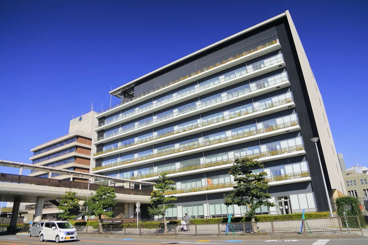
- Population
- 426,162
- 426.2K
- Elevation
- 55 m
- above sea level
- Local time
- UTC+09:00
- Asia/Tokyo · UTC+09:00
- Airports
- NKM Nagoya Airport / JASDF Komaki Air Base28 km
- NGO Chubu Centrair International Airport40 km
About Toyota
Toyota is a city. Location: Toyota-shi, Aichi. Population: 426,162. Elevation: 55 m. The best months to visit are May–June, October. The nearest airport is Nagoya Airport / JASDF Komaki Air Base (28 km). Nearby sights include Toyota Stadium and Okazaki castle.
Photos of Toyota
-

gundam2345 · CC BY 3.0 -

gundam2345 · CC BY 3.0


Travel notes for Toyota
From Wikivoyage
Toyota (豊田) is the largest city in Aichi Prefecture by area, and the sixth largest city in the entire Chūbu region by population. 30 km southeast of Nagoya, it is best known as the home of (it was in fact named after) Toyota Motor Corporation.
Understand+
Tourist information site:
The local tourist association has a multilingual guide site.
Get in+
By plane:
Toyota is served by Nagoya's two airports, Centrair and Komaki.
Meitetsu Bus runs 18 buses a day from Centrair, taking 1 hour 30 minutes and costing ¥1900. These buses take one of two different routes, but they all go to Toyota-shi Station. This is definitely an easier option than taking the train, which will require you to change twice.
In the unlikely event that you use the domestic-only Komaki Airport instead, the easiest way is to take the bus into Nagoya (25 minutes, ¥700). For a direct train to Toyota-shi, get off at Fushimi-chō; for the highway bus, change at Sakae.
By train:
Toyota's two main stations are Toyota-shi (豊田市), run by Meitetsu, and Shin-Toyota (新豊田), which is on the Aichi Loop Railway (also known as Aikan: Aichi Kanjo Tetsudo).
The main way into Toyota is the Meitetsu Toyota Line, which is basically an extension of Nagoya's Tsurumai Subway Line. There are usually four trains per hour to Toyota-shi; from Fushimi, these take 50 minutes and ¥780. Note that some Tsurumai Line trains stop short at Akaike. While this is the best way to travel between Toyota and most of Nagoya, the Tsurumai Line serves neither Sakae nor Nagoya Station, and so may be too much of a hassle for long-distance passengers.
An alternative route from Nagoya or Kanayama Stations is to take a Meitetsu Limited Express or Rapid Limited Express train to Chiryū, where you can change to the Mikawa Line towards Sanage; this takes 1 hour and ¥810. For an extra ¥360, you can buy a reserved seat ticket for the Limited Express to Chiryū.
Source: Wikivoyage · CC BY-SA 4.0 · abridged
Climate of Toyota
Best months for sightseeingBest months for sightseeing: May–June, October.
This month · November
Outside the best season
Day 17° · Night 7° · Rain 97 mm
Better nearby cities in November
- Fujinomiya · 134 km east18°
- Fuji · 140 km east20°
- Kofu · 144 km northeast17°
- Hottest month
- August (day 31°)
- Coldest month
- January (night 0°)
- Wettest month
- June (271 mm)
- Driest month
- December (54 mm)
Bars: average monthly low and high temperature. Below: precipitation. Monthly averages for 1970–2000 at about 18 km resolution, adjusted for elevation. Highlighted months are mild and relatively dry. Source: WorldClim 2.1 (CC BY 4.0).
Show values as a table
| Month | Jan | Feb | Mar | Apr | May | Jun | Jul | Aug | Sep | Oct | Nov | Dec |
|---|---|---|---|---|---|---|---|---|---|---|---|---|
| Average high (°C) | 9° | 9° | 13° | 19° | 23° | 26° | 30° | 31° | 27° | 22° | 17° | 11° |
| Average low (°C) | 0° | 0° | 3° | 9° | 14° | 18° | 22° | 23° | 20° | 13° | 7° | 2° |
| Precipitation (mm) | 59 | 80 | 133 | 191 | 195 | 271 | 265 | 214 | 255 | 157 | 97 | 54 |
How to get to Toyota
The nearest airport is Nagoya Airport / JASDF Komaki Air Base (NKM), 28 km to the northwest as the crow flies. For international flights: Chubu Centrair International Airport (NGO) (40 km). The nearest large city is Okazaki, 15 km to the south.
Airports
- Nagoya Airport / JASDF Komaki Air Base (NKM) Nagoya 28 kmnorthwest
- Chubu Centrair International Airport (NGO) Tokoname 40 kmsouthwest
- Mount Fuji Shizuoka Airport (FSZ) Makinohara / Shimada 100 kmeast
Nearby large cities
- Okazaki Population: 384.7K 15 kmsouth
- Anjo Population: 188.7K 15 kmsouthwest
- Seto Population: 127.8K 17 kmnorth
- Kariya Population: 153.8K 19 kmsouthwest
- Tōkai Population: 113.8K 23 kmwest
Straight-line distances; road distances are longer. Airport data: OurAirports.
Day trips from Toyota
Within 100 km: 8 historic and cultural sites, 18 natural sites, 29 lakes, rivers and coasts.
0–25 km5 places
- Okazaki castle Historic site 14 kmS
- Toyota Stadium Landmark 2 kmE
- Hori River River 24 kmW
- Atsuta Shrine Noh Stage Attraction 22 kmW
25–60 km24 places
- Himakajima Island 44 kmS
- Shino-jima Island 47 kmS
- Mikawa-wan Natural site 43 kmS
- Hongū-zan Mountain 32 kmSE
60–100 km26 places
- Tōshi-jima Island 67 kmS
- Sakate-jima Island 71 kmS
- Kami-jima Island 61 kmS
- Kashiko Island Island 91 kmS
Straight-line distances.
Toyota and similar cities
Side by side with cities of similar size in the same country: population, elevation and climate.
| Measure | Toyota | Machida | Kashiwa | Takamatsu |
|---|---|---|---|---|
| Population | 426.2K | 431.1K | 433.4K | 419K |
| Elevation | 55 m | 103 m | 24 m | 17 m |
| Summer day (hottest month) | 31° | 30° | 30° | 31° |
| Winter night (coldest month) | 0° | -1° | -1° | 1° |
| Annual rainfall | 1,971 mm | 1,553 mm | 1,327 mm | 1,596 mm |
| Best months | May–Jun, Oct | Apr–Jun, Sep–Oct | May–Jun, Sep–Oct | May–Jun, Oct |
| Distance | — | 215 km | 271 km | 296 km |
Climate values are 1970–2000 monthly averages; straight-line distance.
Nearby attractions & nature
Everything nearby-
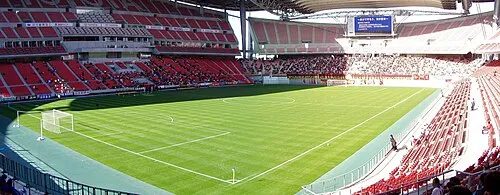 Toyota Stadium Landmark, Toyota-shi1.9 km E
-
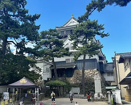 Okazaki castle Historic site, Okazaki-shi14 km S
-
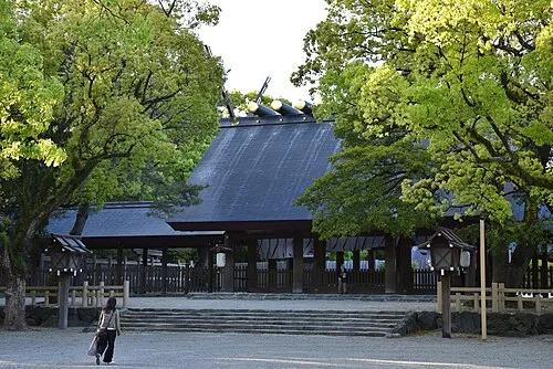 Atsuta Shrine Noh Stage Attraction, Atsuta22 km W
-
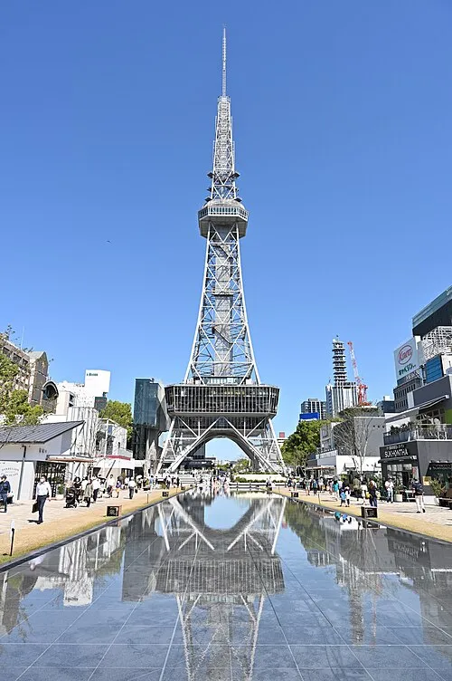 Nagoya TV Tower Landmark, Naka24 km NW
-
Hori River River, Aichi24 km W
Sources & licences
Data last updated: