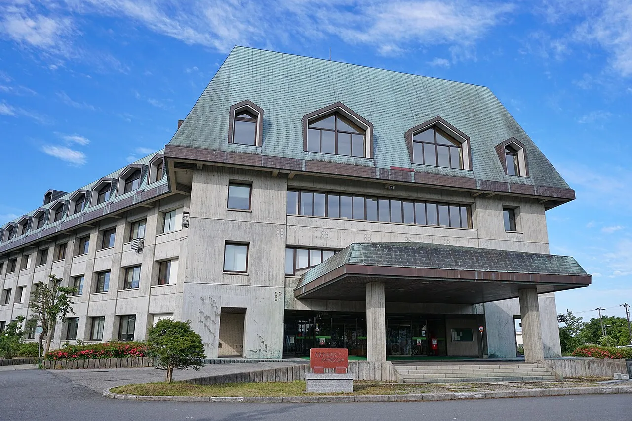
- Elevation
- 110 m
- above sea level
- Local time
- UTC+09:00
- Asia/Tokyo · UTC+09:00
- Places inside
- 4
- listed under Minamiakita-gun
- Airports
- ONJ Odate Noshiro Airport34 km
- AXT Akita Airport39 km
About Minamiakita-gun
Minamiakita-gun is a district. Location: Akita, Japan.
Minamiakita District (南秋田郡, Minamiakita-gun) is a rural district located in Akita Prefecture, Japan. As of April 2022, the district has an estimated population of 21,449 and an area of 449.94 km2. All of the cities of Oga and Katagami and part of the city of Akita were formerly part of Minamiakita District.
Source: Wikipedia · CC BY-SA 4.0
At a glance
- Built
- 1878
- Area
- 450 km²
Source: Wikidata
Places bordering Minamiakita-gun
- Oga
- Yamamoto-gun
- Kitaakita-gun
Climate of Minamiakita-gun
Best months for sightseeingBest months for sightseeing: June–July, September.
This month · November
A wet month
Day 11° · Night 3° · Rain 144 mm
- Hottest month
- August (day 27°)
- Coldest month
- January (night -3°)
- Wettest month
- September (170 mm)
- Driest month
- March (93 mm)
Bars: average monthly low and high temperature. Below: precipitation. Monthly averages for 1970–2000 at about 18 km resolution, adjusted for elevation. Highlighted months are mild and relatively dry. Source: WorldClim 2.1 (CC BY 4.0).
Show values as a table
| Month | Jan | Feb | Mar | Apr | May | Jun | Jul | Aug | Sep | Oct | Nov | Dec |
|---|---|---|---|---|---|---|---|---|---|---|---|---|
| Average high (°C) | 2° | 2° | 6° | 13° | 18° | 21° | 25° | 27° | 23° | 17° | 11° | 5° |
| Average low (°C) | -3° | -3° | -1° | 4° | 9° | 14° | 19° | 20° | 15° | 9° | 3° | -1° |
| Precipitation (mm) | 126 | 100 | 93 | 102 | 97 | 113 | 164 | 149 | 170 | 142 | 144 | 154 |
How to get to Minamiakita-gun
The nearest airport is Odate Noshiro Airport (ONJ), 34 km to the northeast as the crow flies. For international flights: Aomori Airport (AOJ) (99 km). The nearest large city is Akita, 26 km to the south.
Airports
- Odate Noshiro Airport (ONJ) Kitaakita 34 kmnortheast
- Akita Airport (AXT) Akita 39 kmsouth
- Aomori Airport (AOJ) Aomori 99 kmnortheast
Nearby large cities
- Akita Population: 307.7K 26 kmsouth
- Hirosaki Population: 168.7K 77 kmnortheast
- Morioka Population: 290.7K 93 kmeast
- Aomori Population: 298.4K 109 kmnortheast
- Sakata Population: 100.3K 117 kmsouth
Straight-line distances; road distances are longer. Airport data: OurAirports.
Day trips from Minamiakita-gun
Within 100 km: 3 historic and cultural sites, 9 natural sites, 11 lakes, rivers and coasts.
0–25 km3 places
- Oga Peninsula Natural site 24 kmW
- Akita Port Tower Landmark 23 kmS
- Hachirō Lagoon Lake 11 kmSW
25–60 km5 places
- Oga Quasi National Park Natural site 31 kmW
- Yoneshiro River River 31 kmN
- Omono River River 29 kmS
- Lake Tazawa Lake 54 kmSE
60–100 km15 places
- Tobi Shima Island 97 kmSW
- Koyoshi River River 63 kmS
- Lake Towada Lake 87 kmNE
- Mount Chōkai Mountain 95 kmS
Straight-line distances.
Places in Minamiakita-gun
4 placesBar: population relative to the most populous place in this list.
Nearby attractions & nature
Everything nearby-
 Hachirō Lagoon Lake, Akita11 km SW
-
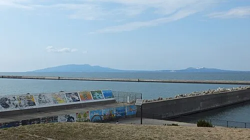 Oga Peninsula Natural site, Akita24 km W
-
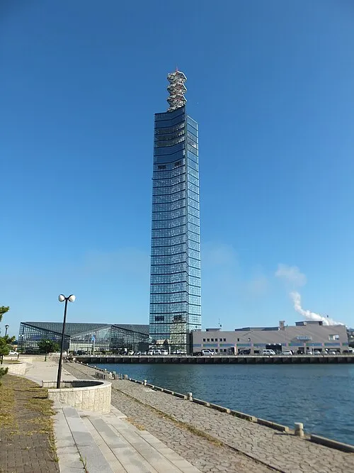 Akita Port Tower Landmark, Akita Shi23 km S
Sources & licences
Data last updated: · 2 independent sources