Osore-zan
Local name: 恐山
Located in Mutsu Shi, Aomori Coordinates: 41°18′00″ N 141°04′00″ E
- Elevation
- 879 m
- above sea level
- Local time
- UTC+09:00
- Asia/Tokyo · UTC+09:00
- Airports
- HKD Hakodate Airport56 km
- AOJ Aomori Airport70 km
About Osore-zan
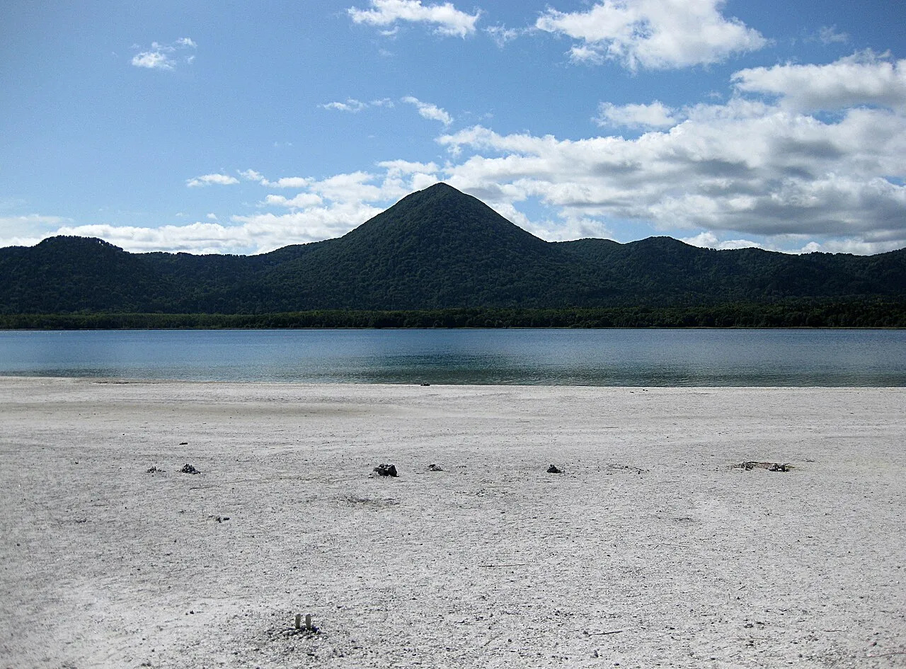
Osore-zan is a mountain. Location: Mutsu Shi, Aomori. Elevation: 879 m.
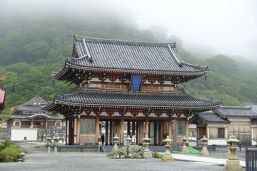
Mount Osore (恐山, Osore-zan) is the name of a Buddhist temple and folk religion pilgrimage destination in the center of remote Shimokita Peninsula of Aomori Prefecture, in the northern Tōhoku region of northern Japan. The temple is located in the caldera of an active volcano and is believed in Japanese mythology to be one of the gates to the underworld.
Source: Wikipedia · CC BY-SA 4.0
Climate of Osore-zan
Best months for sightseeingBest months for sightseeing: July–August.
This month · November
A wet month
Day 5° · Night -2° · Rain 114 mm
- Hottest month
- August (day 20°)
- Coldest month
- January (night -10°)
- Wettest month
- September (169 mm)
- Driest month
- March (77 mm)
Bars: average monthly low and high temperature. Below: precipitation. Monthly averages for 1970–2000 at about 18 km resolution, adjusted for elevation. Highlighted months are mild and relatively dry. Source: WorldClim 2.1 (CC BY 4.0).
Show values as a table
| Month | Jan | Feb | Mar | Apr | May | Jun | Jul | Aug | Sep | Oct | Nov | Dec |
|---|---|---|---|---|---|---|---|---|---|---|---|---|
| Average high (°C) | -5° | -4° | -1° | 6° | 12° | 14° | 18° | 20° | 17° | 11° | 5° | -2° |
| Average low (°C) | -10° | -10° | -7° | -2° | 3° | 8° | 12° | 14° | 10° | 3° | -2° | -7° |
| Precipitation (mm) | 96 | 78 | 77 | 85 | 86 | 100 | 131 | 155 | 169 | 113 | 114 | 96 |
How to get to Osore-zan
The nearest airport is Hakodate Airport (HKD), 56 km to the north as the crow flies. The nearest large city is Hakodate, 60 km to the northwest.
Airports
- Hakodate Airport (HKD) Hakodate 56 kmnorth
- Aomori Airport (AOJ) Aomori 70 kmsouthwest
- Misawa Airport / Misawa Air Base (MSJ) Misawa 71 kmsouth
Nearby large cities
- Hakodate Population: 275.7K 60 kmnorthwest
- Aomori Population: 298.4K 61 kmsouthwest
- Hirosaki Population: 168.7K 93 kmsouthwest
- Hachinohe Population: 239K 96 kmsouth
- Tomakomai Population: 174.8K 155 kmnorth
Straight-line distances; road distances are longer. Airport data: OurAirports.
Nearest towns and villages
-
 Mutsu City, Mutsu Shi13 km E
-
Ōminatochō Village, Mutsu Shi8 km E
-
Kazamaura Mura Municipality, Shimokita-gun19 km N
-
Kawauchi Village, Mutsu Shi13 km SW
-
Sai Mura Municipality, Shimokita-gun19 km W
-
Ōhata Village, Mutsu Shi14 km NE
Nearby attractions & nature
Everything nearby-
Usoriyama-ko Lake, Japan3.3 km NE
-
 Shimokita Hantō Natural site, Aomori7 km NW
-
Ōhata-gawa River, Aomori15 km NE
Sources & licences
Data last updated: · 2 independent sources