- Population
- 1,237,984
- 1.2M
- Elevation
- 138 m
- above sea level
- Local time
- UTC+09:00
- Asia/Tokyo · UTC+09:00
- Places inside
- 30
- listed under Aomori
- Airports
- AOJ Aomori Airport13 km
- MSJ Misawa Airport / Misawa Air Base46 km
About Aomori
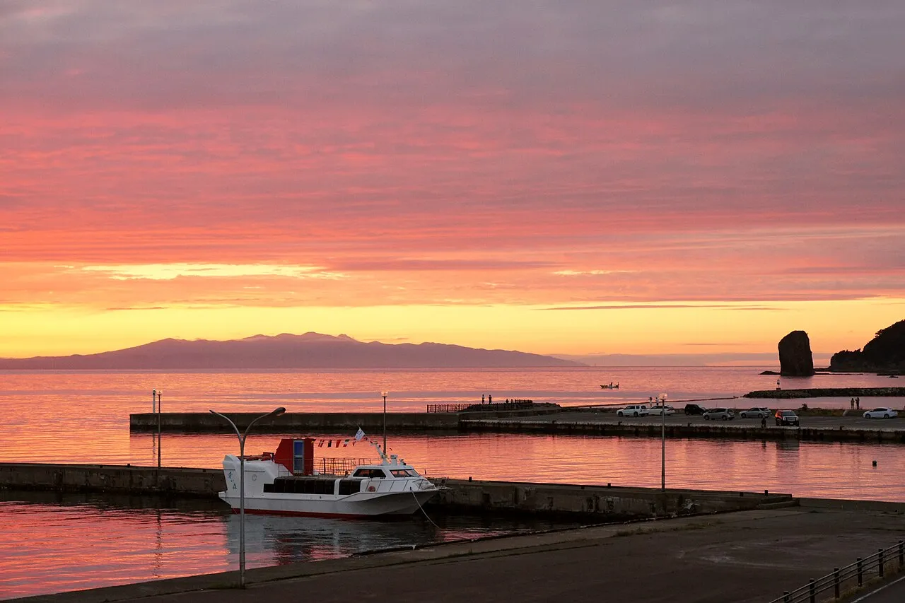
Aomori is a region. Location: Japan. Population: 1,237,984.
Aomori Prefecture (青森県, Aomori-ken; Japanese pronunciation: [ä̀.ó̞.mò̞.ɾʲì, -mó̞.ɾʲí.kè̞ɴ̀], locally [ä̀.ó̞.mó̞.ɾʲí]) is a prefecture of Japan in the Tōhoku region. The prefecture's capital, largest city, and namesake is the city of Aomori. Aomori is the northernmost prefecture on Japan's main island, Honshu, and is bordered by the Pacific Ocean to the east, Iwate Prefecture to the southeast, Akita Prefecture to the southwest, the Sea of Japan to the west, and Hokkaido across the Tsugaru Strait to the north.
Read more on Wikipedia Text: Wikipedia contributors · CC BY-SA 4.0 · shortened
Places bordering Aomori
Twin towns and sister cities of Aomori
- State of Maine· United States
- Liguria· Italy
Source: Wikidata. Only places with a page on this site are shown.
Climate of Aomori
Best months for sightseeingBest months for sightseeing: May–September.
Bars: average monthly low and high temperature. Below: precipitation. Monthly averages for 1970–2000 at about 18 km resolution, adjusted for elevation. Highlighted months are mild and relatively dry. Source: WorldClim 2.1 (CC BY 4.0).
Show values as a table
| Month | Jan | Feb | Mar | Apr | May | Jun | Jul | Aug | Sep | Oct | Nov | Dec |
|---|---|---|---|---|---|---|---|---|---|---|---|---|
| Average high (°C) | 1° | 1° | 5° | 12° | 17° | 21° | 24° | 27° | 23° | 17° | 10° | 3° |
| Average low (°C) | -5° | -5° | -2° | 3° | 8° | 13° | 17° | 19° | 14° | 8° | 2° | -2° |
| Precipitation (mm) | 115 | 95 | 81 | 77 | 77 | 90 | 117 | 145 | 149 | 116 | 119 | 120 |
Other places to visit in this season: May June July August September
Airports nearest to Aomori
- Aomori Airport (AOJ) Aomori 13 km
- Misawa Airport / Misawa Air Base (MSJ) Misawa 46 km
- Odate Noshiro Airport (ONJ) Kitaakita 76 km
Straight-line distance; airports with scheduled flights only. Source: OurAirports (public domain).
Places in Aomori
30 places- 1 Aomori Shi 298.4K
- 2 Hachinohe Shi 238.9K
- 3 Hirosaki Shi 180.4K
- 4 Towada Shi 64.7K
- 5 Mutsu Shi 62.4K
- 6 Goshogawara Shi 59K
- 7 Misawa Shi 41.9K
- 8 Kitatsugaru Gun 37.4K
- 9 Kuroishi Shi 35.8K
- 10 Tsugaru Shi 35.5K
- 11 Hirakawa Shi 33.2K
Bar: population relative to the most populous place in this list.
-
Aomori Wan Natural site
-
Hakkōda San Mountain
-
Higashitsugaru-gun District
-
Iwaki River River
-
Kamikita-gun District
-
Lake Jūsan Lake
-
Lake Ogarawa Lake
-
Minamitsugaru Gun District
-
Mount Iwaki Mountain
-
Mutsu Bay Natural site
-
Nakamura River River
-
Nakatsugaru Gun District
-
Natsudomari Hantō Natural site
-
Nishitsugaru-gun District
-
Ōhata-gawa River
-
Oirase Gawa River
-
Sannohe Gun District
-
Shimokita-gun District
-
Shimokita Hantō Natural site
Largest cities and towns
-
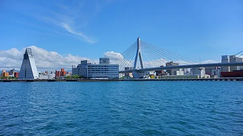 Aomori City, Aomori Shi298.4K
-
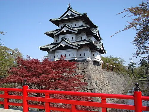 Hirosaki City, Hirosaki Shi168.7K
-
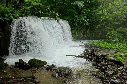 Towada City, Towada Shi60.7K
-
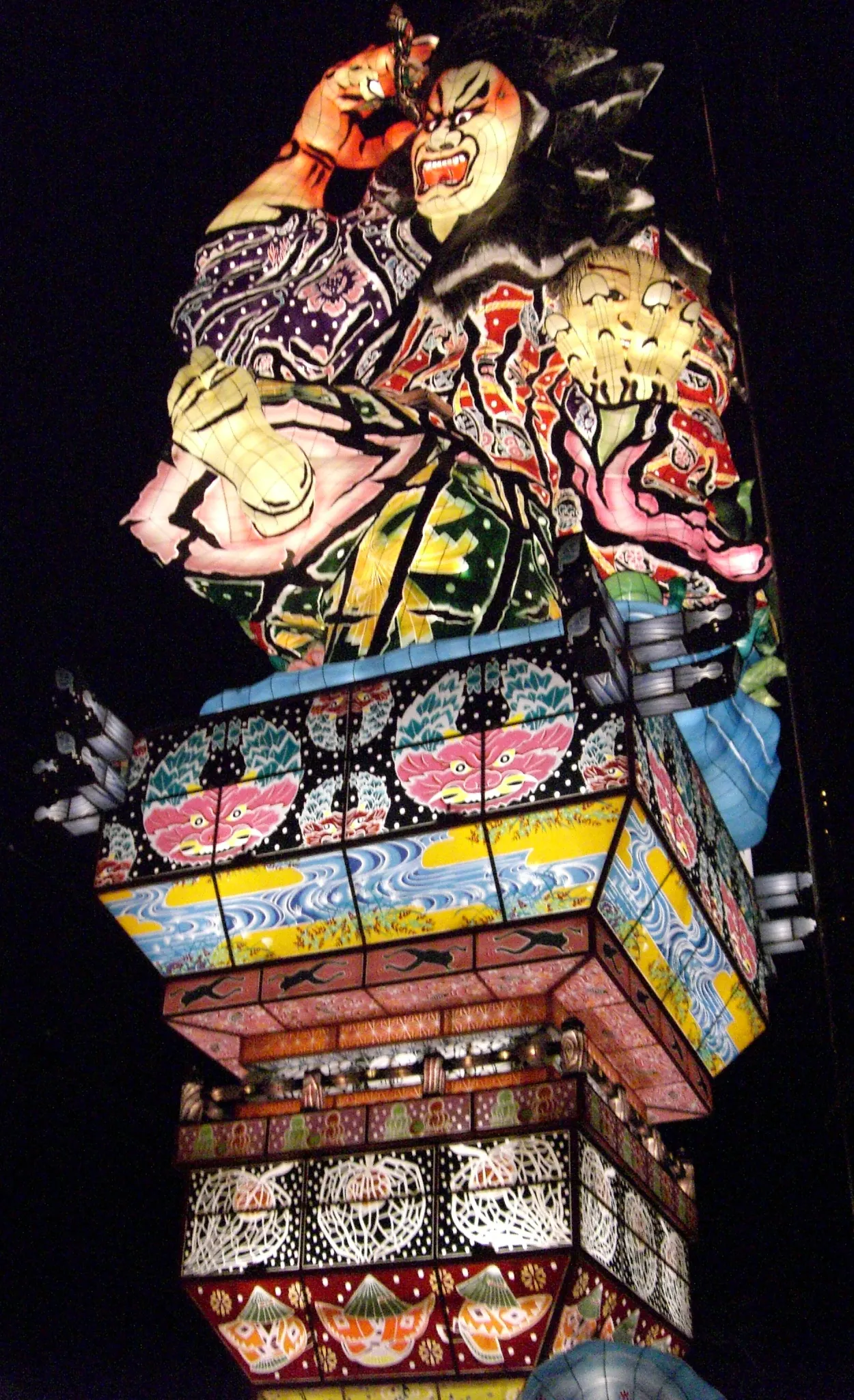 Goshogawara City, Goshogawara Shi53.6K
-
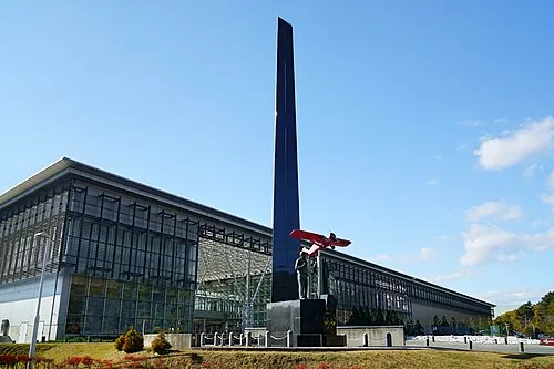 Misawa City, Misawa Shi42.8K
-
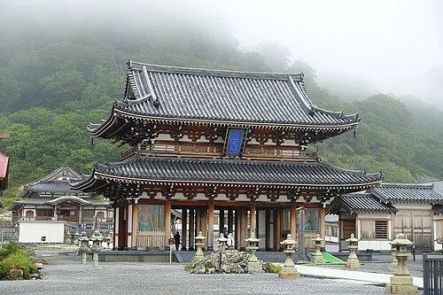 Mutsu City, Mutsu Shi56.2K
-
Hiranai Machi Municipality, Higashitsugaru-gun12.2K
-
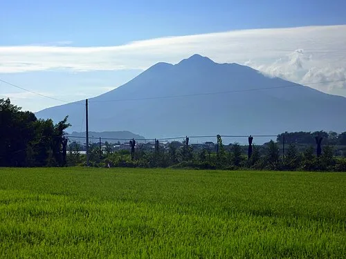 Tsugaru City, Tsugaru Shi30.9K
Nature and heritage in Aomori
Sources & licences
Data last updated: · 2 independent sources