
- Elevation
- 1,624 m
- above sea level
- Local time
- UTC+09:00
- Asia/Tokyo · UTC+09:00
- Airports
- AOJ Aomori Airport34 km
- ONJ Odate Noshiro Airport52 km
About Mount Iwaki
Mount Iwaki is a mountain. Location: Aomori, Japan. Elevation: 1,624 m.
Mount Iwaki (岩木山, Iwaki-san) is a stratovolcano located in western Aomori Prefecture, Tohoku, Japan. It is also referred to as Tsugaru Fuji (津軽富士) and less frequently, Okufuji (奥富士) due to its similar shape to Mount Fuji. With a summit elevation of 1,625 meters (5,331 ft) and a prominence of 1,362 meters (4,469 ft) it is the highest mountain in Aomori Prefecture. Mount Iwaki is listed as one of the 100 Famous Japanese Mountains in a 1964 book by mountaineer and author Kyūya Fukada.
Read more on Wikipedia Text: Wikipedia contributors · CC BY-SA 4.0 · shortened
Climate of Mount Iwaki
Bars: average monthly low and high temperature. Below: precipitation. Monthly averages for 1970–2000 at about 18 km resolution, adjusted for elevation. Highlighted months are mild and relatively dry. Source: WorldClim 2.1 (CC BY 4.0).
Show values as a table
| Month | Jan | Feb | Mar | Apr | May | Jun | Jul | Aug | Sep | Oct | Nov | Dec |
|---|---|---|---|---|---|---|---|---|---|---|---|---|
| Average high (°C) | -9° | -8° | -5° | 2° | 8° | 12° | 16° | 18° | 13° | 7° | 1° | -6° |
| Average low (°C) | -14° | -14° | -11° | -6° | 0° | 4° | 9° | 11° | 6° | -1° | -6° | -11° |
| Precipitation (mm) | 112 | 91 | 90 | 99 | 95 | 108 | 155 | 166 | 173 | 129 | 132 | 129 |
Airports nearest to Mount Iwaki
- Aomori Airport (AOJ) Aomori 34 km
- Odate Noshiro Airport (ONJ) Kitaakita 52 km
- Misawa Airport / Misawa Air Base (MSJ) Misawa 90 km
Straight-line distance; airports with scheduled flights only. Source: OurAirports (public domain).
Nearest towns and villages
-
Ajigasawa Machi Municipality, Nishitsugaru-gun9.8 km W
-
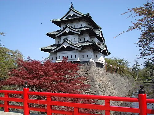 Hirosaki City, Hirosaki Shi16 km SE
-
Tsuruta Machi Municipality, Kitatsugaru Gun15 km NE
-
Itayanagi Town, Itayanagi Machi14 km E
-
Itayanagi Machi Municipality, Kitatsugaru Gun16 km NE
-
 Fujisaki Town, Fujisaki Machi17 km E
Nearby attractions & nature
Everything nearby-
 Shirakami Sanchi Mountain, Japan24 km S
-
Nakamura River River, Aomori15 km NW
-
Seibi En Attraction, Hirakawa Shi23 km E
More nature in Japan
-
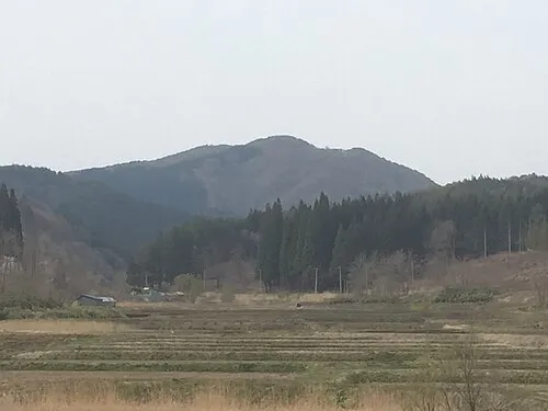 Mount Bonju Mountain, Goshogawara Shi28 km NE
-
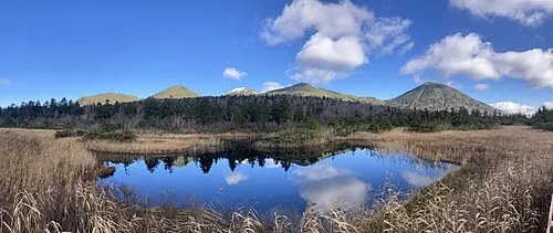 Hakkōda San Mountain, Aomori49 km E
-
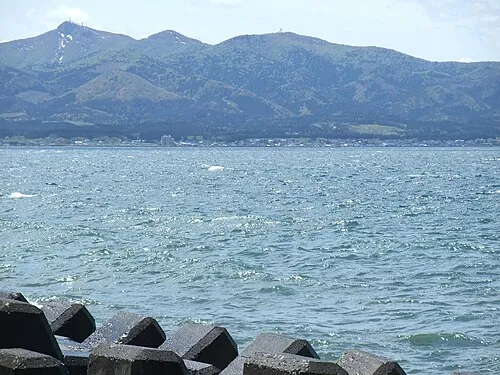 Eboshi-dake Mountain, Tōhoku Machi65 km E
-
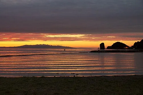 Aomori Wan Natural site, Aomori50 km NE
-
Mount Mizugasawa Mountain, Hiranai Machi61 km NE
-
 Shimokita Hantō Natural site, Aomori95 km NE
Sources & licences
Data last updated: · 2 independent sources