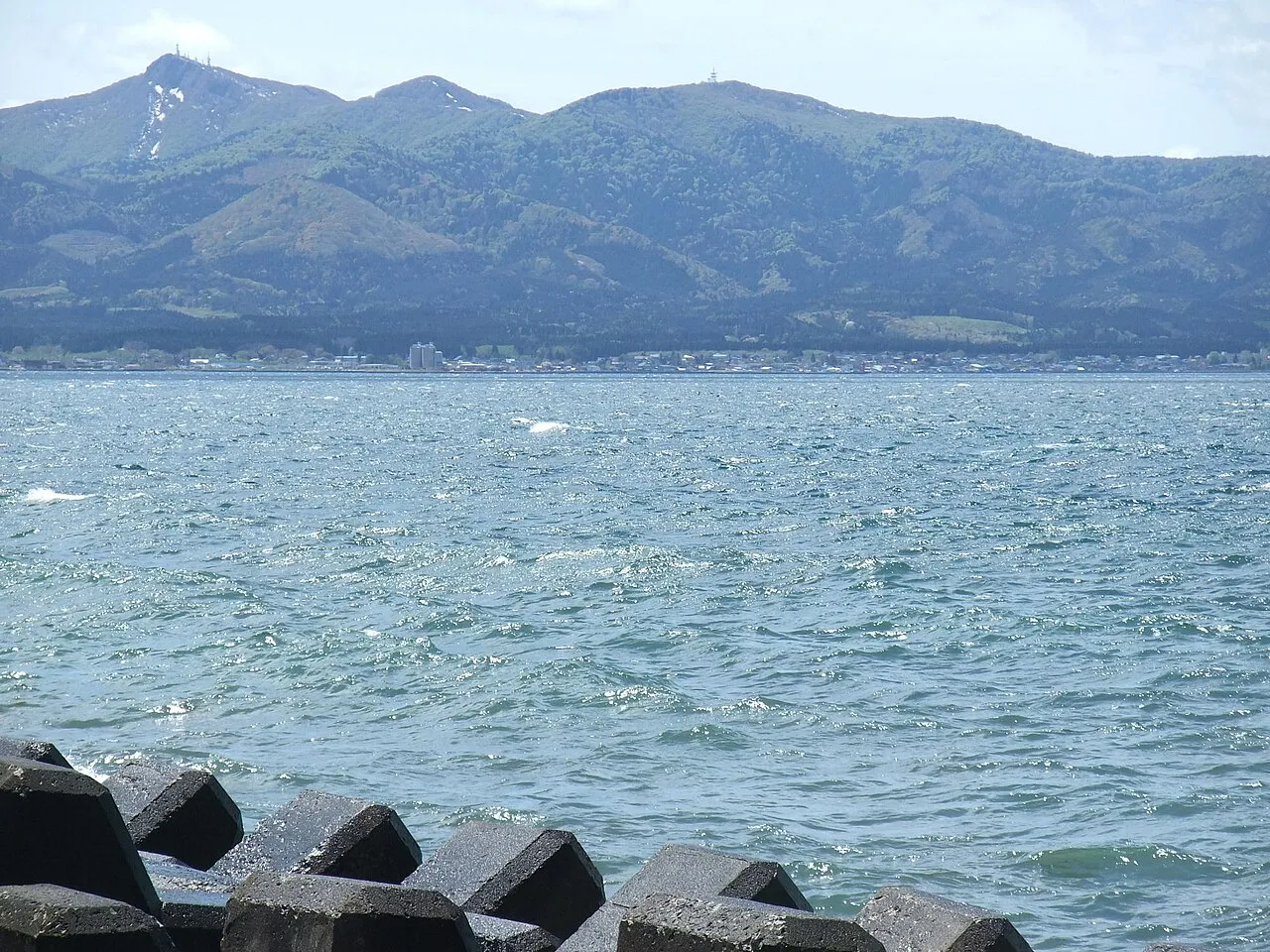
- Elevation
- 719 m
- above sea level
- Local time
- UTC+09:00
- Asia/Tokyo · UTC+09:00
- Airports
- AOJ Aomori Airport31 km
- MSJ Misawa Airport / Misawa Air Base32 km
About Eboshi-dake
Eboshi-dake is a mountain. Location: Tōhoku Machi, Kamikita-gun. Elevation: 719 m.
Eboshi-dake (烏帽子岳, Eboshi-dake) "Eboshi peak", with Eboshi being a Japanese hat, is a 719.6 metres (2,361 ft) high mountain in the extreme north of the Japanese main island, Honshu, at the northern end of the Ōu Mountain Range. Its peak forms the boundary between the communities of Hiranai in the northwest, Noheji in the northeast, and Tōhoku in the south, all located in Aomori Prefecture.
Source: Wikipedia · CC BY-SA 4.0
Climate of Eboshi-dake
Best months for sightseeingBest months for sightseeing: July–August.
This month · November
A wet month
Day 6° · Night -2° · Rain 103 mm
- Hottest month
- August (day 22°)
- Coldest month
- January (night -9°)
- Wettest month
- September (157 mm)
- Driest month
- March (75 mm)
Bars: average monthly low and high temperature. Below: precipitation. Monthly averages for 1970–2000 at about 18 km resolution, adjusted for elevation. Highlighted months are mild and relatively dry. Source: WorldClim 2.1 (CC BY 4.0).
Show values as a table
| Month | Jan | Feb | Mar | Apr | May | Jun | Jul | Aug | Sep | Oct | Nov | Dec |
|---|---|---|---|---|---|---|---|---|---|---|---|---|
| Average high (°C) | -3° | -3° | 1° | 8° | 14° | 16° | 20° | 22° | 18° | 13° | 6° | 0° |
| Average low (°C) | -9° | -9° | -6° | -1° | 4° | 9° | 13° | 15° | 11° | 4° | -2° | -7° |
| Precipitation (mm) | 97 | 81 | 75 | 76 | 79 | 98 | 126 | 147 | 157 | 106 | 103 | 96 |
How to get to Eboshi-dake
The nearest airport is Aomori Airport (AOJ), 31 km to the west as the crow flies. The nearest large city is Aomori, 25 km to the west.
Airports
- Aomori Airport (AOJ) Aomori 31 kmwest
- Misawa Airport / Misawa Air Base (MSJ) Misawa 32 kmsoutheast
- Odate Noshiro Airport (ONJ) Kitaakita 91 kmsouthwest
Nearby large cities
- Aomori Population: 298.4K 25 kmwest
- Hachinohe Population: 239K 54 kmsoutheast
- Hirosaki Population: 168.7K 54 kmsouthwest
- Hakodate Population: 275.7K 108 kmnorth
- Morioka Population: 290.7K 126 kmsouth
Straight-line distances; road distances are longer. Airport data: OurAirports.
Day trips from Eboshi-dake
Within 100 km: 3 historic and cultural sites, 13 natural sites, 14 lakes, rivers and coasts.
0–25 km4 places
- Natsudomari Hantō Natural site 15 kmNW
- Hakkōda San Mountain 23 kmSW
- Mount Mizugasawa Mountain 17 kmNW
- Aomori Wan Natural site 23 kmNW
25–60 km15 places
- Tai-jima Island 36 kmNW
- Usoriyama-ko Lake 54 kmN
- Osore-zan Mountain 52 kmN
- Mutsu Bay Natural site 32 kmNW
60–100 km11 places
- Oirase Gawa River 91 kmW
- Lake Jūsan Lake 62 kmW
- Shirakami Sanchi Mountain 82 kmSW
- Mount Iwaki Mountain 65 kmW
Straight-line distances.
Nearest towns and villages
-
 Noheji-machi Municipality, Kamikita-gun8.3 km NE
-
Nobeji Town, Noheji-machi8.7 km NE
-
 Hiranai Machi Municipality, Higashitsugaru-gun11 km NW
-
 Shichinohe Machi Municipality, Kamikita-gun12 km S
-
Hiranai Town, Hiranai Machi12 km NW
-
Toyota Town, Tōhoku Machi21 km SE
Nearby attractions & nature
Everything nearby-
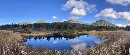 Hakkōda San Mountain, Aomori23 km SW
-
Mount Mizugasawa Mountain, Hiranai Machi17 km NW
-
 Natsudomari Hantō Natural site, Aomori15 km NW
-
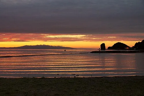 Aomori Wan Natural site, Aomori23 km NW
Sources & licences
Data last updated: · 2 independent sources