Hakkōda San
Local name: 八甲田山
Located in Aomori, Japan Coordinates: 40°39′26″ N 140°53′12″ E
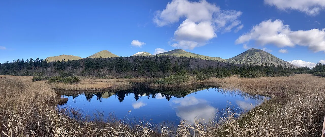
- Elevation
- 1,584 m
- above sea level
- Local time
- UTC+09:00
- Asia/Tokyo · UTC+09:00
- Airports
- AOJ Aomori Airport19 km
- MSJ Misawa Airport / Misawa Air Base41 km
About Hakkōda San
Hakkōda San is a mountain. Location: Aomori, Japan. Elevation: 1,584 m.
The Hakkōda Mountains (八甲田山系, Hakkōda-sankei) are an active volcanic complex in south-central Aomori Prefecture, Japan, in Towada-Hachimantai National Park. Often called Mount Hakkōda (八甲田山, Hakkōda-san) or simply Hakkōda (八甲田), the mountains are collectively listed as one of the 100 Famous Japanese Mountains. Its highest peak, Mount Ōdake, lies 21.3 kilometers (13.2 mi) southeast of central Aomori and 28 kilometers (17 mi) west of central Towada and has an elevation of 1,585 meters (5,200 ft).
Read more on Wikipedia Text: Wikipedia contributors · CC BY-SA 4.0 · shortened
Climate of Hakkōda San
Best months for sightseeingBest months for sightseeing: August.
Bars: average monthly low and high temperature. Below: precipitation. Monthly averages for 1970–2000 at about 18 km resolution, adjusted for elevation. Highlighted months are mild and relatively dry. Source: WorldClim 2.1 (CC BY 4.0).
Show values as a table
| Month | Jan | Feb | Mar | Apr | May | Jun | Jul | Aug | Sep | Oct | Nov | Dec |
|---|---|---|---|---|---|---|---|---|---|---|---|---|
| Average high (°C) | -8° | -7° | -4° | 2° | 8° | 12° | 16° | 18° | 14° | 8° | 1° | -5° |
| Average low (°C) | -14° | -14° | -11° | -6° | 0° | 4° | 9° | 11° | 6° | -1° | -6° | -11° |
| Precipitation (mm) | 98 | 84 | 89 | 98 | 98 | 117 | 161 | 180 | 176 | 119 | 115 | 104 |
Other places to visit in this season: August
Airports nearest to Hakkōda San
- Aomori Airport (AOJ) Aomori 19 km
- Misawa Airport / Misawa Air Base (MSJ) Misawa 41 km
- Odate Noshiro Airport (ONJ) Kitaakita 68 km
Straight-line distance; airports with scheduled flights only. Source: OurAirports (public domain).
Nearest towns and villages
-
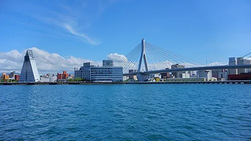 Aomori City, Aomori Shi22 km NW
-
Shichinohe Machi Municipality, Kamikita-gun18 km NE
-
Namioka Town, Aomori Shi26 km W
-
Hiranai Machi Municipality, Higashitsugaru-gun28 km N
-
Shichinohe Town, Shichinohe Machi23 km E
-
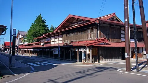 Kuroishi Town, Kuroishi Shi26 km W
Nearby attractions & nature
Everything nearby-
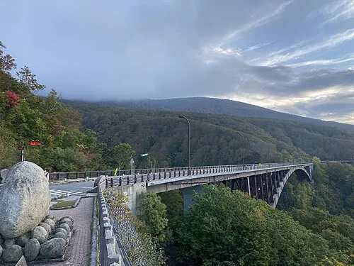 Jōgakura Bridge Landmark, Aomori Shi5.2 km W
-
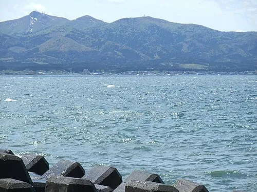 Eboshi-dake Mountain, Tōhoku Machi23 km NE
-
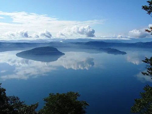 Lake Towada Lake, Japan21 km S
-
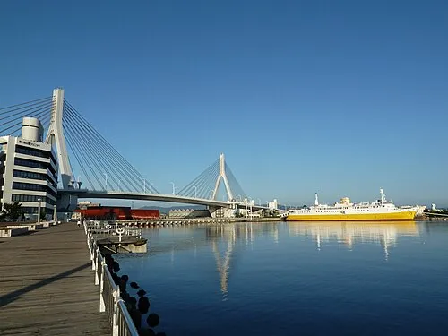 Aomori Bay Bridge Landmark, Aomori Shi23 km NW
More nature in Japan
-
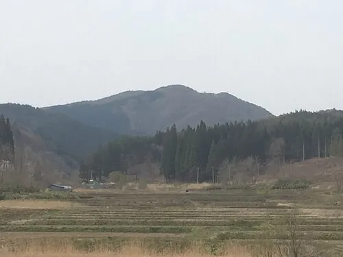 Mount Bonju Mountain, Goshogawara Shi31 km NW
-
Mount Mizugasawa Mountain, Hiranai Machi33 km N
-
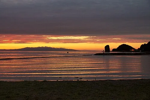 Aomori Wan Natural site, Aomori30 km N
-
 Natsudomari Hantō Natural site, Aomori31 km N
-
 Mount Iwaki Mountain, Aomori49 km W
-
 Mutsu Bay Natural site, Aomori47 km N
Sources & licences
Data last updated: · 2 independent sources