- Local time
- UTC+09:00
- Asia/Tokyo · UTC+09:00
- Elevation
- 652 m
- above sea level
- Airports
- AOJ Aomori Airport15 km
- MSJ Misawa Airport / Misawa Air Base46 km
About Jōgakura Bridge
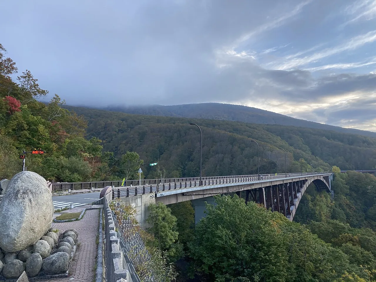
Jōgakura Bridge is a landmark. Location: Aomori Shi, Aomori.
Jōgakura Bridge (城ヶ倉大橋, Jōgakura-ōhashi) is a 360-meter-long (1,180 ft) deck arch bridge in the southern Hakkōda Mountains in the city of Aomori in Aomori Prefecture, Japan. It carries National Route 394 at a height of 122 meters (400 ft) above Jōgakura Creek. Located inside of Towada-Hachimantai National Park, the bridge is known as being a place for observing the area's scenic beauty as well as being the longest of its type in Japan.
Source: Wikipedia · CC BY-SA 4.0
Climate of Jōgakura Bridge
Best months for sightseeingBest months for sightseeing: June–September.
This month · November
A wet month
Day 7° · Night -1° · Rain 123 mm
- Hottest month
- August (day 24°)
- Coldest month
- January (night -9°)
- Wettest month
- August (169 mm)
- Driest month
- March (88 mm)
Bars: average monthly low and high temperature. Below: precipitation. Monthly averages for 1970–2000 at about 18 km resolution, adjusted for elevation. Highlighted months are mild and relatively dry. Source: WorldClim 2.1 (CC BY 4.0).
Show values as a table
| Month | Jan | Feb | Mar | Apr | May | Jun | Jul | Aug | Sep | Oct | Nov | Dec |
|---|---|---|---|---|---|---|---|---|---|---|---|---|
| Average high (°C) | -2° | -2° | 2° | 9° | 15° | 18° | 22° | 24° | 20° | 14° | 7° | 1° |
| Average low (°C) | -9° | -8° | -6° | 0° | 6° | 10° | 15° | 17° | 12° | 5° | -1° | -5° |
| Precipitation (mm) | 107 | 90 | 88 | 97 | 93 | 109 | 151 | 169 | 168 | 122 | 123 | 116 |
Other places to visit in this season: June July August September
How to get to Jōgakura Bridge
The nearest airport is Aomori Airport (AOJ), 15 km to the northwest as the crow flies. The nearest large city is Aomori, 20 km to the northwest.
Airports
- Aomori Airport (AOJ) Aomori 15 kmnorthwest
- Misawa Airport / Misawa Air Base (MSJ) Misawa 46 kmeast
- Odate Noshiro Airport (ONJ) Kitaakita 64 kmsouthwest
Nearby large cities
- Aomori Population: 298.4K 20 kmnorthwest
- Hirosaki Population: 168.7K 31 kmwest
- Hachinohe Population: 239K 59 kmeast
- Morioka Population: 290.7K 109 kmsouth
- Akita Population: 307.7K 120 kmsouthwest
Straight-line distances; road distances are longer. Airport data: OurAirports.
Nearby attractions & nature
Everything nearby-
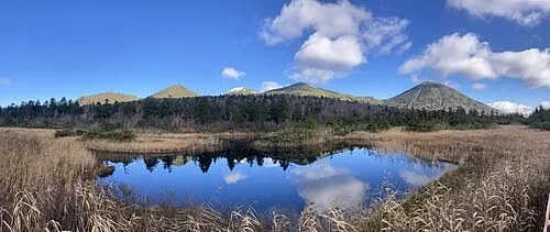 Hakkōda San Mountain, Aomori5.2 km E
-
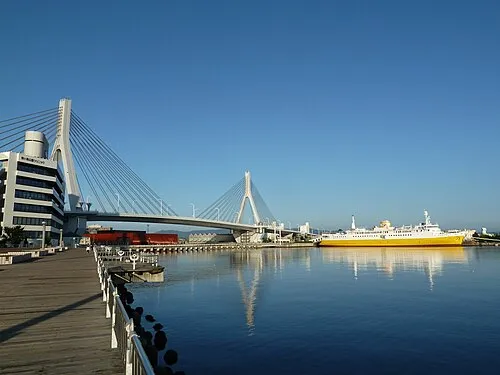 Aomori Bay Bridge Landmark, Aomori Shi21 km N
-
Seibi En Attraction, Hirakawa Shi22 km W
-
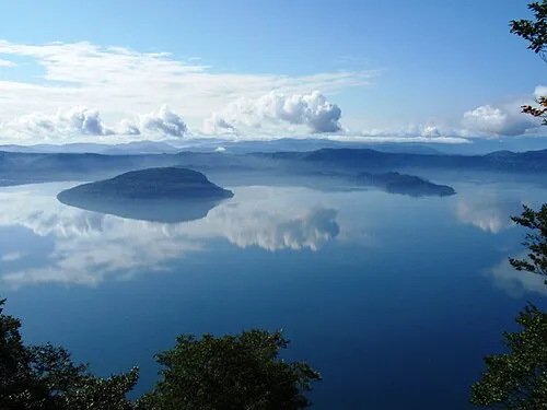 Lake Towada Lake, Japan21 km S
Nearest towns and villages
-
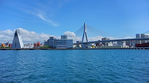 Aomori City, Aomori Shi20 km NW
-
Namioka Town, Aomori Shi21 km W
-
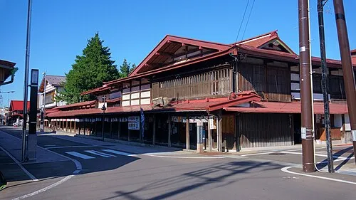 Kuroishi Town, Kuroishi Shi21 km W
-
Inakadate Mura Municipality, Minamitsugaru Gun24 km W
Sources & licences
Data last updated: · 2 independent sources