
- Elevation
- 766 m
- above sea level
- Local time
- UTC+09:00
- Asia/Tokyo · UTC+09:00
- Airports
- ONJ Odate Noshiro Airport32 km
- AOJ Aomori Airport52 km
About Shirakami Sanchi
Shirakami Sanchi is a mountain. Location: Japan. Elevation: 766 m.
The Shirakami Mountains (White God Mountains) (Japanese: 白神山地, Hepburn: Shirakami-Sanchi) are a UNESCO World Heritage Site wilderness area in the Tōhoku region of northern Honshū, Japan. This mountainous area includes the last virgin forest of Japanese beech which once covered most of northern Japan. The area straddles both Akita and Aomori Prefectures, with three-fourths of it in Aomori Prefecture.
Read more on Wikipedia Text: Wikipedia contributors · CC BY-SA 4.0 · shortened
At a glance
- Heritage designation
- World Heritage Site, Nature Conservation Area
- Area
- 170 km²
Source: Wikidata
Climate of Shirakami Sanchi
Best months for sightseeingBest months for sightseeing: June–September.
Bars: average monthly low and high temperature. Below: precipitation. Monthly averages for 1970–2000 at about 18 km resolution, adjusted for elevation. Highlighted months are mild and relatively dry. Source: WorldClim 2.1 (CC BY 4.0).
Show values as a table
| Month | Jan | Feb | Mar | Apr | May | Jun | Jul | Aug | Sep | Oct | Nov | Dec |
|---|---|---|---|---|---|---|---|---|---|---|---|---|
| Average high (°C) | -3° | -2° | 1° | 8° | 14° | 18° | 22° | 24° | 19° | 13° | 7° | 0° |
| Average low (°C) | -8° | -8° | -6° | 0° | 5° | 10° | 15° | 17° | 12° | 5° | -1° | -5° |
| Precipitation (mm) | 114 | 93 | 94 | 107 | 101 | 117 | 168 | 176 | 179 | 133 | 136 | 133 |
Other places to visit in this season: June July August September
Airports nearest to Shirakami Sanchi
- Odate Noshiro Airport (ONJ) Kitaakita 32 km
- Aomori Airport (AOJ) Aomori 52 km
- Akita Airport (AXT) Akita 93 km
Straight-line distance; airports with scheduled flights only. Source: OurAirports (public domain).
Nearest towns and villages
-
Nishimeya Mura Municipality, Nakatsugaru Gun7.5 km NE
-
Fujisato Machi Municipality, Yamamoto-gun11 km SE
-
Happō Chō Municipality, Yamamoto-gun15 km SW
-
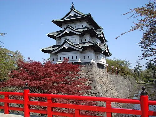 Hirosaki City, Hirosaki Shi28 km NE
-
Ajigasawa Machi Municipality, Nishitsugaru-gun22 km N
-
Fukaura Machi Municipality, Nishitsugaru-gun23 km NW
More nature in Japan
-
 Mount Iwaki Mountain, Aomori24 km N
-
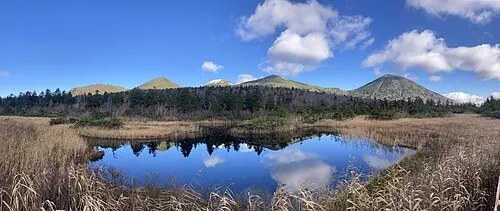 Hakkōda San Mountain, Aomori63 km E
-
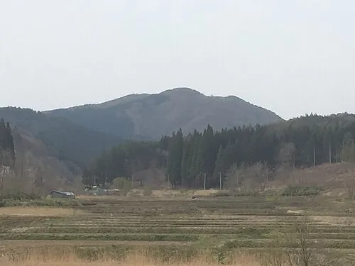 Mount Bonju Mountain, Goshogawara Shi50 km NE
-
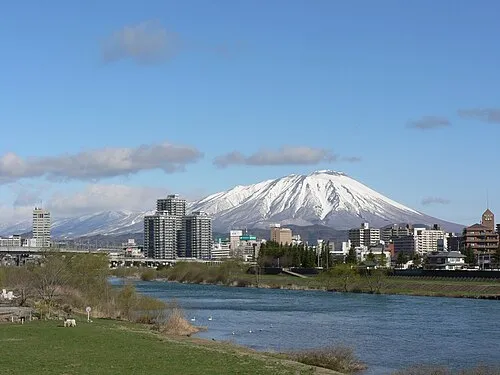 Iwate San Mountain, Iwate-gun95 km SE
-
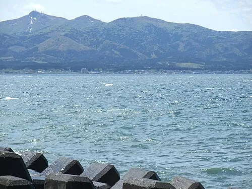 Eboshi-dake Mountain, Tōhoku Machi82 km NE
-
 Shimokita Hantō Natural site, Aomori119 km NE
Sources & licences
Data last updated: · 2 independent sources