- Elevation
- 12 m
- above sea level
- Local time
- UTC+09:00
- Asia/Tokyo · UTC+09:00
- Airports
- AOJ Aomori Airport61 km
- ONJ Odate Noshiro Airport65 km
About Oirase Gawa
Oirase Gawa is a river. Location: Aomori, Japan. The best months to visit are June–July, September. The nearest airport is Aomori Airport (61 km).
Climate of Oirase Gawa
Best months for sightseeingBest months for sightseeing: June–July, September.
This month · November
A wet month
Day 11° · Night 5° · Rain 140 mm
- Hottest month
- August (day 27°)
- Coldest month
- January (night -3°)
- Wettest month
- September (177 mm)
- Driest month
- March (84 mm)
Bars: average monthly low and high temperature. Below: precipitation. Monthly averages for 1970–2000 at about 18 km resolution, adjusted for elevation. Highlighted months are mild and relatively dry. Source: WorldClim 2.1 (CC BY 4.0).
Show values as a table
| Month | Jan | Feb | Mar | Apr | May | Jun | Jul | Aug | Sep | Oct | Nov | Dec |
|---|---|---|---|---|---|---|---|---|---|---|---|---|
| Average high (°C) | 2° | 3° | 6° | 12° | 17° | 21° | 25° | 27° | 23° | 17° | 11° | 5° |
| Average low (°C) | -3° | -2° | 0° | 5° | 10° | 14° | 19° | 20° | 16° | 10° | 5° | 0° |
| Precipitation (mm) | 109 | 85 | 84 | 96 | 96 | 102 | 150 | 160 | 177 | 135 | 140 | 132 |
How to get to Oirase Gawa
The nearest airport is Aomori Airport (AOJ), 61 km to the east as the crow flies. The nearest large city is Hirosaki, 44 km to the east.
Airports
- Aomori Airport (AOJ) Aomori 61 kmeast
- Odate Noshiro Airport (ONJ) Kitaakita 65 kmsoutheast
- Misawa Airport / Misawa Air Base (MSJ) Misawa 118 kmeast
Nearby large cities
- Hirosaki Population: 168.7K 44 kmeast
- Aomori Population: 298.4K 66 kmeast
- Akita Population: 307.7K 109 kmsouth
- Hachinohe Population: 239K 131 kmeast
- Hakodate Population: 275.7K 137 kmnortheast
Straight-line distances; road distances are longer. Airport data: OurAirports.
Nearest towns and villages
-
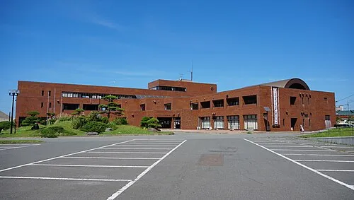 Fukaura Town, Fukaura Machi5.9 km SW
-
Fukaura Machi Municipality, Nishitsugaru-gun10 km SE
-
Ajigasawa Machi Municipality, Nishitsugaru-gun19 km E
-
Iwasaki Village, Fukaura Machi12 km S
-
Ajigasawa Town, Ajigasawa Machi22 km NE
-
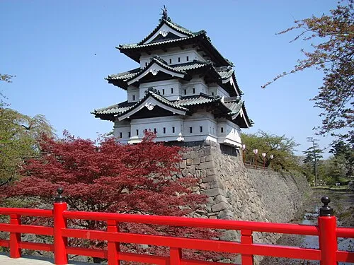 Hirosaki City, Hirosaki Shi44 km E
More lakes, rivers and coasts in Japan
-
Nakamura River River, Aomori24 km NE
-
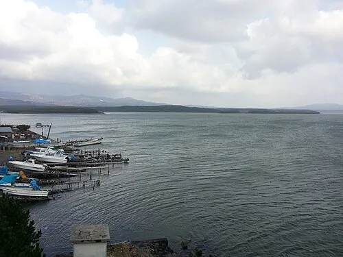 Lake Jūsan Lake, Aomori49 km NE
-
Iwaki River River, Aomori50 km NE
-
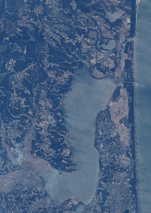 Lake Ogarawa Lake, Aomori116 km E
-
Ōhata-gawa River, Aomori129 km NE
Sources & licences
Data last updated: