- Population
- 60,697
- 60.7K
- Elevation
- 74 m
- above sea level
- Local time
- UTC+09:00
- Asia/Tokyo · UTC+09:00
- Airports
- MSJ Misawa Airport / Misawa Air Base16 km
- AOJ Aomori Airport46 km
About Towada
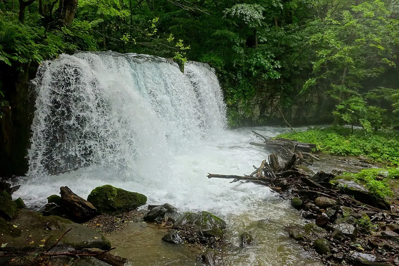
Towada is a city. Location: Towada Shi, Aomori. Population: 60,697. Elevation: 74 m.
Towada (十和田市, Towada-shi) is a city in Aomori Prefecture, Japan. As of 31 October 2025, the city had an estimated population of 56,766 in 28222 households, and a population density of 78 persons per km2 The total area of the city is 725.65 square kilometers (280.18 sq mi).Towada is home to the national and prefectural agencies that administer the Kamikita region, and is the central city of the region.
Source: Wikipedia · CC BY-SA 4.0
Places bordering Towada
- Aomori
- Hirakawa
- Hanawa
- Kosaka
- Gonohe Machi
- Shingō Mura
- Rokunohe Machi
- Shichinohe Machi
- Tōhoku Machi
Twin towns and sister cities of Towada
- Tosa-gun· Japan
- Hanamaki· Japan
- Yabuki Machi· Japan
- Kawaminami· Japan
Source: Wikidata. Only places with a page on this site are shown.
Population of Towada over time
| 2010 | 66,110 | |
|---|---|---|
| 2015 | 63,429 | |
| 2021 | 60,063 |
Censuses and official estimates; source: Wikidata.
Climate of Towada
Best months for sightseeingBest months for sightseeing: May–September.
This month · November
A cold month
Day 10° · Night 2° · Rain 87 mm
- Hottest month
- August (day 26°)
- Coldest month
- January (night -6°)
- Wettest month
- September (159 mm)
- Driest month
- March (68 mm)
Bars: average monthly low and high temperature. Below: precipitation. Monthly averages for 1970–2000 at about 18 km resolution, adjusted for elevation. Highlighted months are mild and relatively dry. Source: WorldClim 2.1 (CC BY 4.0).
Show values as a table
| Month | Jan | Feb | Mar | Apr | May | Jun | Jul | Aug | Sep | Oct | Nov | Dec |
|---|---|---|---|---|---|---|---|---|---|---|---|---|
| Average high (°C) | 1° | 1° | 5° | 13° | 18° | 20° | 24° | 26° | 22° | 17° | 10° | 4° |
| Average low (°C) | -6° | -5° | -2° | 3° | 8° | 12° | 17° | 19° | 14° | 7° | 2° | -3° |
| Precipitation (mm) | 80 | 69 | 68 | 72 | 79 | 99 | 128 | 143 | 159 | 99 | 87 | 78 |
Other places to visit in this season: May June July August September
How to get to Towada
The nearest airport is Misawa Airport / Misawa Air Base (MSJ), 16 km to the northeast as the crow flies. For international flights: Aomori Airport (AOJ) (46 km). The nearest large city is Hachinohe, 28 km to the southeast.
Airports
- Misawa Airport / Misawa Air Base (MSJ) Misawa 16 kmnortheast
- Aomori Airport (AOJ) Aomori 46 kmwest
- Odate Noshiro Airport (ONJ) Kitaakita 86 kmsouthwest
Nearby large cities
- Hachinohe Population: 239K 28 kmsoutheast
- Aomori Population: 298.4K 46 kmnorthwest
- Hirosaki Population: 168.7K 63 kmwest
- Morioka Population: 290.7K 102 kmsouth
- Hakodate Population: 275.7K 134 kmnorth
Straight-line distances; road distances are longer. Airport data: OurAirports.
Nearby attractions & nature
Everything nearby-
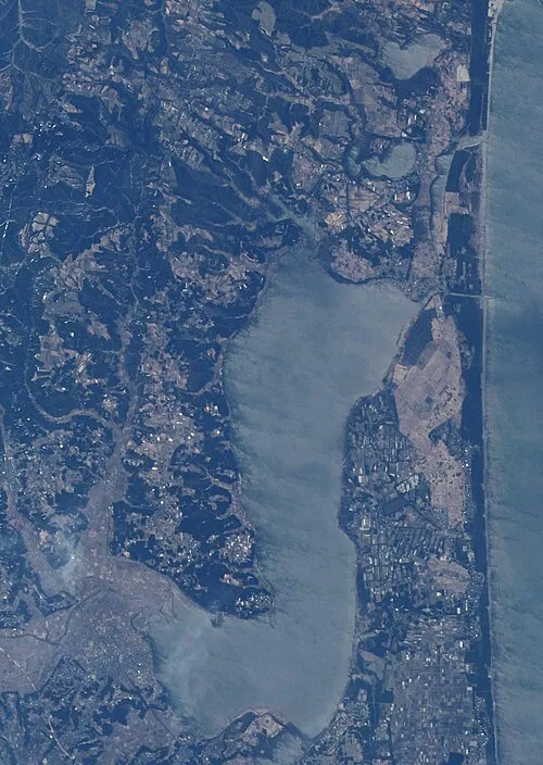 Lake Ogarawa Lake, Aomori21 km NE
-
Oirase River River, Japan21 km E
Sources & licences
Data last updated: · 2 independent sources