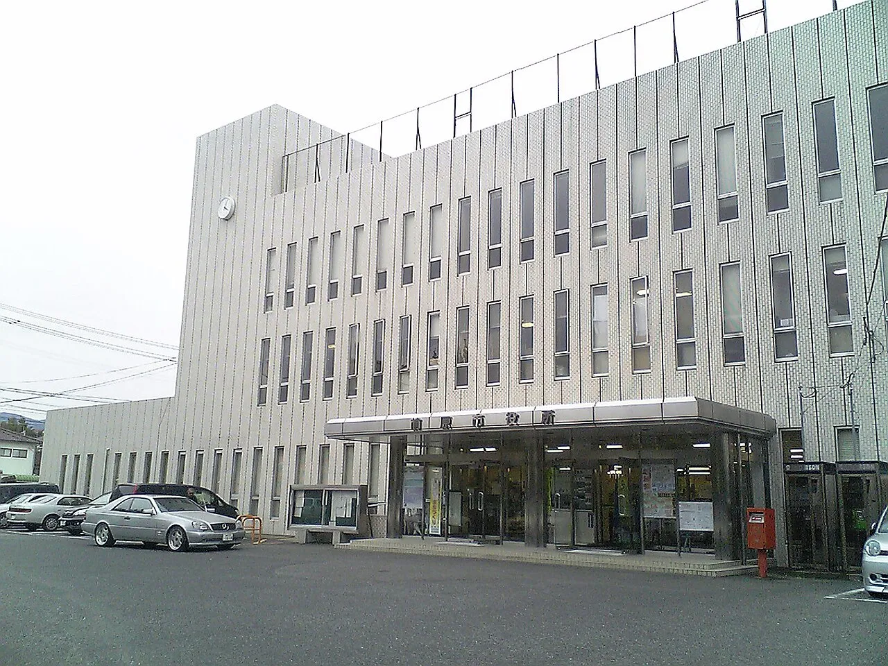
- Population
- 70,339
- 70.3K
- Elevation
- 12 m
- above sea level
- Local time
- UTC+09:00
- Asia/Tokyo · UTC+09:00
- Airports
- FUK Fukuoka Airport23 km
- IKI Iki Airport44 km
About Maebaru-chūō
Maebaru-chūō is a town. Location: Itoshima-shi, Fukuoka. Population: 70,339. Elevation: 12 m.
Maebaru (前原市, Maebaru-shi) was a city located in Fukuoka Prefecture, Japan. It existed from October 1, 1992, to December 31, 2009. As of November 2009, the city had an estimated population of 68,583 in the total area of 104.50 km2. On January 1, 2010, Maebaru, along with the towns of Nijō and Shima (both from Itoshima District), was merged to create the City of Itoshima. Itoshima District was dissolved as a result of this merger.
Source: Wikipedia · CC BY-SA 4.0
At a glance
- Built
- 1992
- Area
- 104 km²
Source: Wikidata
Climate of Maebaru-chūō
Best months for sightseeingBest months for sightseeing: May–June, October.
This month · November
Outside the best season
Day 17° · Night 9° · Rain 79 mm
Better nearby cities in November
- Beppu · 124 km east17°
- Ōita · 135 km east18°
- Nobeoka · 174 km southeast18°
- Hottest month
- August (day 30°)
- Coldest month
- January (night 3°)
- Wettest month
- June (288 mm)
- Driest month
- December (62 mm)
Bars: average monthly low and high temperature. Below: precipitation. Monthly averages for 1970–2000 at about 18 km resolution, adjusted for elevation. Highlighted months are mild and relatively dry. Source: WorldClim 2.1 (CC BY 4.0).
Show values as a table
| Month | Jan | Feb | Mar | Apr | May | Jun | Jul | Aug | Sep | Oct | Nov | Dec |
|---|---|---|---|---|---|---|---|---|---|---|---|---|
| Average high (°C) | 9° | 10° | 13° | 18° | 23° | 25° | 29° | 30° | 27° | 22° | 17° | 12° |
| Average low (°C) | 3° | 3° | 6° | 11° | 15° | 19° | 24° | 24° | 21° | 15° | 9° | 5° |
| Precipitation (mm) | 70 | 76 | 108 | 143 | 148 | 288 | 275 | 175 | 204 | 94 | 79 | 62 |
How to get to Maebaru-chūō
The nearest airport is Fukuoka Airport (FUK), 23 km to the east as the crow flies. The nearest large city is Kasuga, 24 km to the east.
Airports
- Fukuoka Airport (FUK) Fukuoka 23 kmeast
- Iki Airport (IKI) Iki 44 kmnorthwest
- Kyushu Saga International Airport (HSG) Saga 46 kmsouth
Nearby large cities
- Kasuga Population: 111K 24 kmeast
- Karatsu Population: 117.7K 25 kmsouthwest
- Ōnojō Population: 102.1K 26 kmeast
- Chikushino-shi Population: 103.3K 30 kmeast
- Saga Population: 233.3K 37 kmsouth
Straight-line distances; road distances are longer. Airport data: OurAirports.
Nearby attractions & nature
Everything nearby-
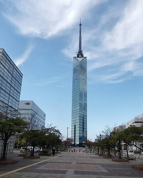 Fukuoka Tower Landmark, Sawara14 km E
-
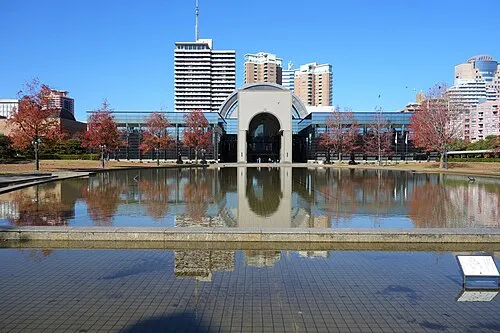 Fukuoka City Museum Museum, Sawara14 km E
-
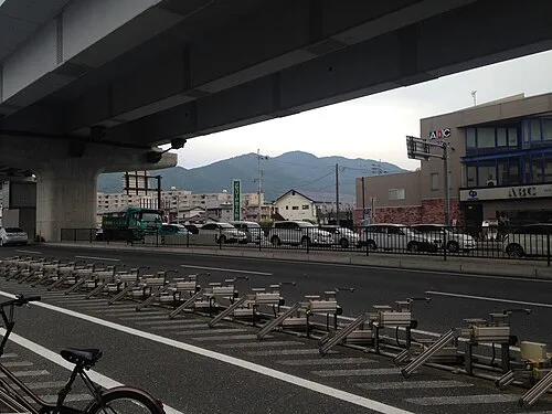 Mt. Abura Mountain, Minami16 km E
-
 FUKUOKA PayPay Dome Landmark, Chūō-ku15 km E
-
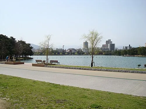 Ōhori Park Natural site, Chūō-ku17 km E
-
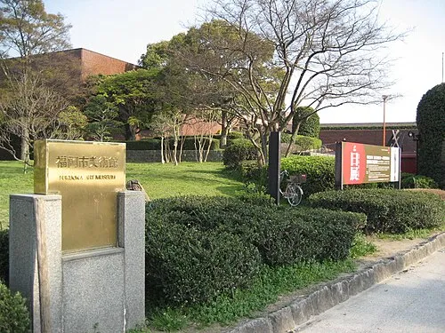 Fukuoka Art Museum Museum, Chūō-ku17 km E
-
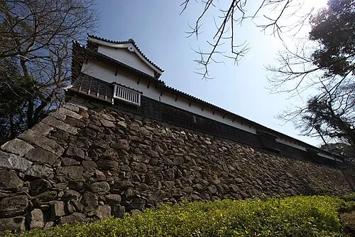 Fukuoka Castle ruins Historic site, Chūō-ku17 km E
-
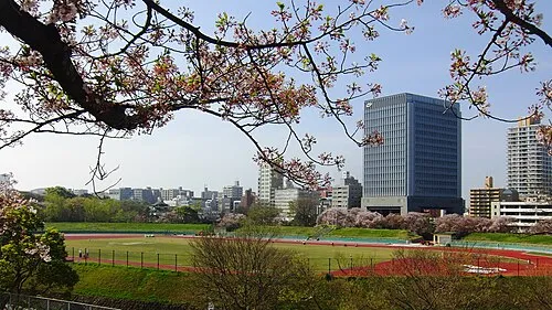 Heiwadai Athletic Stadium Landmark, Chūō-ku17 km E
Sources & licences
Data last updated: · 2 independent sources