Sasaguri
Local name: 篠栗町
Located in Sasaguri Machi, Kasuya-gun Coordinates: 33°36′56″ N 130°33′04″ E
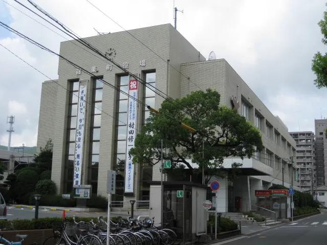
- Population
- 31,213
- 31.2K
- Elevation
- 110 m
- above sea level
- Local time
- UTC+09:00
- Asia/Tokyo · UTC+09:00
- Airports
- FUK Fukuoka Airport10 km
- KKJ Kitakyushu Airport52 km
About Sasaguri
Sasaguri is a town. Location: Sasaguri Machi, Kasuya-gun. Population: 31,213. Elevation: 110 m.
Sasaguri (篠栗町, Sasaguri-machi) is a town in Kasuya District, Fukuoka Prefecture, Japan. As of 31 March 2024, the town had an estimated population of 31,191 in 14041 households, and a population density of 250 persons per km². The total area of the town is 38.93 km2 (15.03 sq mi)
Source: Wikipedia · CC BY-SA 4.0
Photos of Sasaguri
-

そらみみ · CC BY-SA 4.0 -

そらみみ · CC BY-SA 4.0 -

そらみみ · CC BY-SA 4.0


Places bordering Sasaguri
- Iizuka
- Miyawaka Shi
- Sue Machi
- Hisayama Machi
- Kasuya Machi
Population of Sasaguri over time
| 2010 | 31,318 | |
|---|---|---|
| 2015 | 31,210 | |
| 2020 | 31,092 |
Censuses and official estimates; source: Wikidata.
Climate of Sasaguri
Best months for sightseeingBest months for sightseeing: May–June, October.
This month · November
Outside the best season
Day 16° · Night 8° · Rain 78 mm
Better nearby cities in November
- Beppu · 95 km southeast17°
- Ōita · 106 km southeast18°
- Nobeoka · 155 km southeast18°
- Hottest month
- August (day 30°)
- Coldest month
- January (night 1°)
- Wettest month
- July (335 mm)
- Driest month
- December (62 mm)
Bars: average monthly low and high temperature. Below: precipitation. Monthly averages for 1970–2000 at about 18 km resolution, adjusted for elevation. Highlighted months are mild and relatively dry. Source: WorldClim 2.1 (CC BY 4.0).
Show values as a table
| Month | Jan | Feb | Mar | Apr | May | Jun | Jul | Aug | Sep | Oct | Nov | Dec |
|---|---|---|---|---|---|---|---|---|---|---|---|---|
| Average high (°C) | 8° | 9° | 12° | 18° | 22° | 25° | 29° | 30° | 26° | 22° | 16° | 11° |
| Average low (°C) | 1° | 2° | 4° | 10° | 14° | 18° | 23° | 23° | 19° | 13° | 8° | 3° |
| Precipitation (mm) | 77 | 85 | 119 | 157 | 170 | 317 | 335 | 179 | 198 | 99 | 78 | 62 |
How to get to Sasaguri
The nearest airport is Fukuoka Airport (FUK), 10 km to the west as the crow flies. The nearest large city is Ōnojō, 11 km to the southwest.
Airports
- Fukuoka Airport (FUK) Fukuoka 10 kmwest
- Kitakyushu Airport (KKJ) Kitakyushu 52 kmnortheast
- Kyushu Saga International Airport (HSG) Saga 57 kmsouthwest
Nearby large cities
- Ōnojō Population: 102.1K 11 kmsouthwest
- Iizuka Population: 126.4K 13 kmeast
- Kasuga Population: 111K 13 kmsouthwest
- Chikushino-shi Population: 103.3K 14 kmsouth
- Kurume Population: 303.6K 33 kmsouth
Straight-line distances; road distances are longer. Airport data: OurAirports.
Day trips from Sasaguri
Within 100 km: 20 historic and cultural sites, 19 natural sites, 12 lakes, rivers and coasts.
0–25 km18 places
- Aino-Island Island 24 kmNW
- Mount Hōman Mountain 9 kmS
- Shōfuku-ji Attraction 13 kmW
- Tōchō-ji Attraction 13 kmW
25–60 km13 places
- Hiko Shima Island 48 kmNE
- Genkai Island Island 31 kmW
- Mount Hiko Mountain 38 kmSE
- Mount Sefuri Mountain 26 kmSW
60–100 km20 places
- Iki Island Island 79 kmW
- Hario Jima Island 92 kmSW
- Okino-shima Island 81 kmNW
- Mount Unzen Mountain 99 kmS
Straight-line distances.
Nearby attractions & nature
Everything nearby-
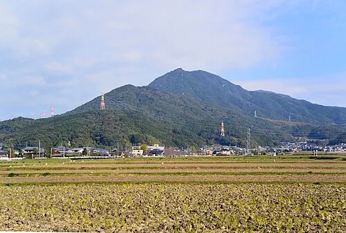 Mount Hōman Mountain, Dazaifu-shi8.5 km S
-
 Shōfuku-ji Attraction, Hakata13 km W
-
 Tōchō-ji Attraction, Hakata13 km W
-
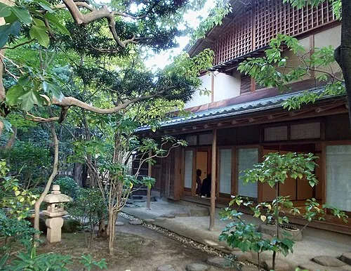 Rakusui-en Natural site, Hakata13 km W
-
Kyūshū Kokuritsu Hakubutsukan Museum, Dazaifu-shi11 km S
-
 Our Lady of Victory Cathedral, Fukuoka Attraction, Chūō-ku15 km W
-
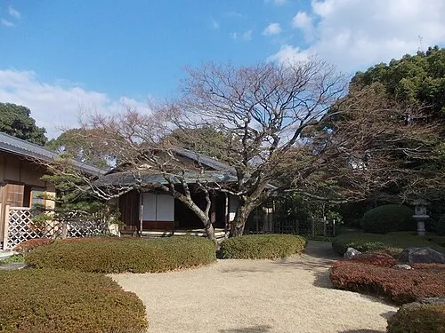 Shōfū-en Natural site, Chūō-ku15 km W
-
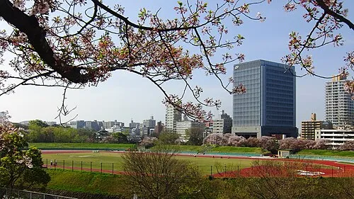 Heiwadai Athletic Stadium Landmark, Chūō-ku16 km W
Sources & licences
Data last updated: · 2 independent sources